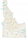
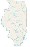
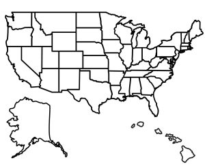
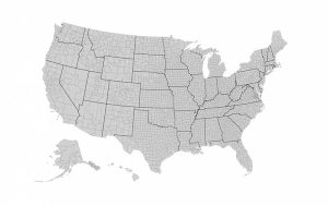
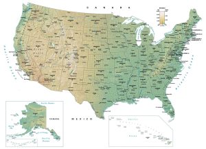
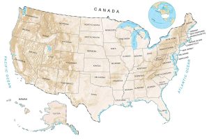
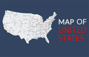
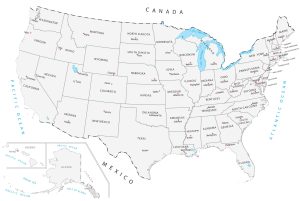
Lakes and Rivers Map of the United States

Download our lakes and rivers map of the United States. It’s free to use for any purpose. Alternatively, select from any of the 50 states for more detailed lakes and rivers.
You are free to use our lakes and rivers map of the United States for educational and commercial uses. Attribution is required. How to attribute?

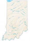 Indiana
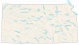 Kansas
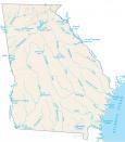
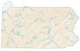
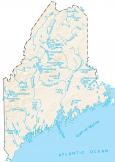 Maine
Maine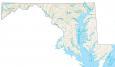 Maryland
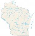
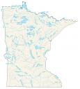 Minnesota
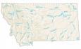
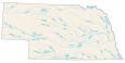 Nebraska
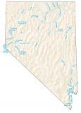 Nevada
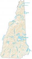
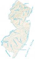 New Jersey
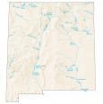

👍Thx =]
Any chance I could get a map style exactly like this but for North America as a whole?
Please & thank you if so.
My husband & I recently listened to Rinker Buck’s audiobook, Life on the Mississippi, while on a long road trip. I tried to follow his river travels on a AAA map we had in the car but have been searching for a map of US Rivers ever since. Thank you for this resource!
A helpful addition would be either layered files (PSD or AI) allowing users to overlay just the rivers without your background terrain or PNG files of only the rivers (and/or lakes) with the terrain as an alpha channel. This would help education efforts to overlay the core data as each user wishes, as the files now force us to use your choice of background, text label, color, and more.