Buffer Tool in GIS
Buffers as Proximity Tools
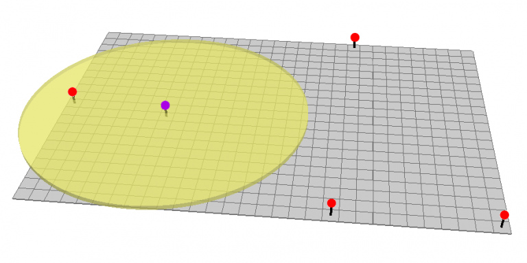
How do you create a constant distance away from something? The answer is to use the Buffer Tool.
The Buffer Tool generates a polygon around features at a set distance. In addition, there are different types of buffers in GIS.
For example, there are Euclidean vs geodesic buffers, flat vs round buffers, and single vs multiple ring buffers.
The buffer tool is one of the top geoprocessing tools you’ll need… so here are all the details you’ll need.
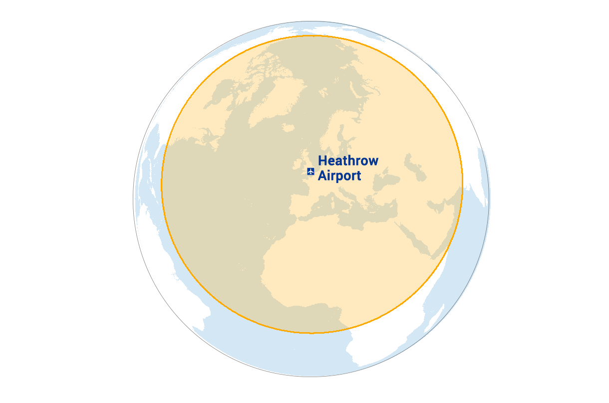
Planar vs Geodesic Buffer
Geodesic buffers account for the true shape of the Earth. In aviation, great circles or geodesic lines represent the shortest path. For example, a 4000-mile geodesic buffer at Heathrow airport on a globe appears as a perfect circle.
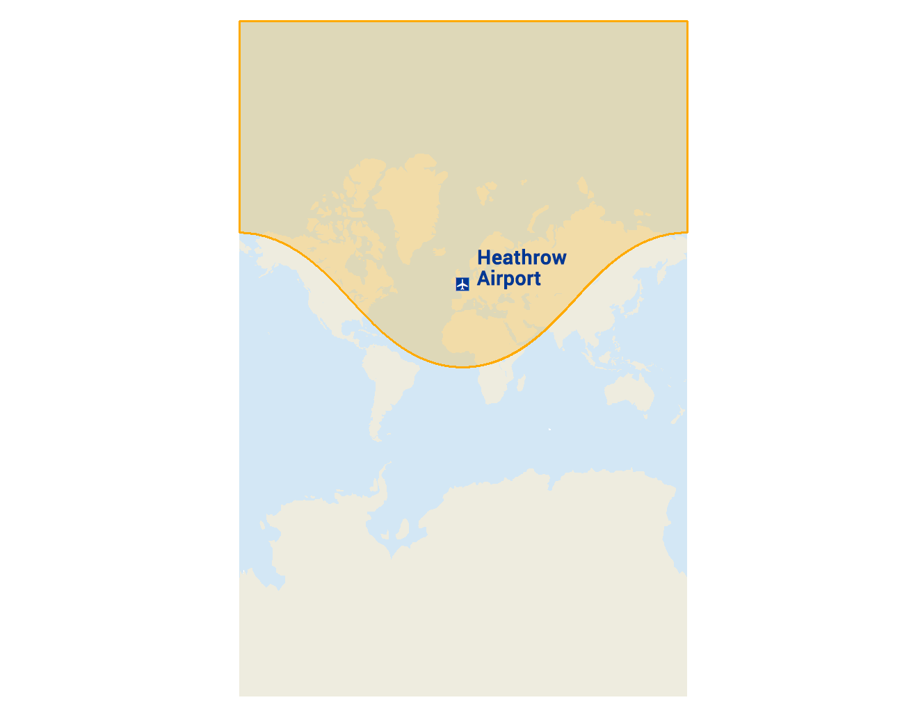
But if you take that same buffer on a Mercator map, it appears non-elliptical and completely irregular. This is because of how map projections distort shape, size, and distance. In the case of the Mercator projection, it stretches the buffer at the poles.
For short and far buffer distances, geodesic buffers are accurate for all. However, this is especially true for longer distances.
For example, the news industry has improperly underestimated the true distance of missile launches. This is because they didn’t perform a geodesic buffer and didn’t account for our 3-dimensional globe.
Round vs Square Buffers
Generally, there are two types of buffers that change the appearance at the end of a buffer. Overall, the distinction between round and square buffers is how it cuts off the end piece.
Round buffers create a semi-circle at the end of the output buffer polygon. This is usually the default type of buffer and is most commonly used.
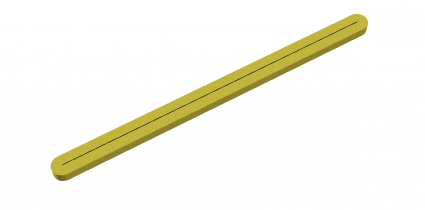
Alternatively, you can cut the end of the buffer squaring it off. For example, GIS analysts use this type of buffer to reduce overlaps between neighboring lines.
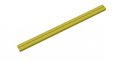
There are benefits to doing it either way, depending on the specific project you are working on. But be careful to select the right way of capping off your buffers.
Multiple Ring Buffer
The ‘Multiple Ring Buffer Tool’ generates several buffers at set distances. Multiple ring buffers can have overlapping or non-overlapping rings.
For example, you can dissolve each distance so each feature doesn’t overlap with the other. In this case, each buffer (except the first one) resembles a ring or a donut with a hole in the middle.
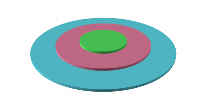
Alternatively, you can generate ring buffers that do overlap including the inside portion. And in this case, each buffer won’t have holes and include the smaller set distances.
Buffer Tools for Analysis
The buffer tool is a proximity function that sets a fixed or variable distance surrounding the features.
There are at least 1000 GIS applications that use buffers in geospatial analysis. Here are some examples of proximity analysis using the buffer tool:
Have you heard of any interesting uses for buffers? Let me know with a comment below.

Want to learn more about spatial analysis?
Are you looking to expand your knowledge in geospatial analysis?
If you are, then you should check out our free Periodic Table for Spatial Analysis.
From vector to raster, each element contains a set of spatial analysis tools.
We’ve grouped common tools by color with vector analysis tools on the left and raster analysis on the right.
Overall, it’s a helpful visualization to show the power of GIS analysis.


Excellent, I was looking at the usage of buffer in the Shapely library, I found the answer on your website, just generating a distance