Georeferencing: How to Georeference Images
Learn how to georeference with precision in this georeferencing guide. Add control points in two images, select a transformation and check your RMSE.
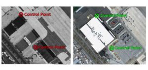
Learn how to georeference with precision in this georeferencing guide. Add control points in two images, select a transformation and check your RMSE.
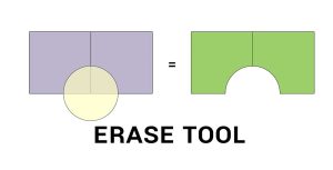
The Erase Tool removes the area that is overlapping with the erasing features. Everything outside the erasing layer ends up in the output.

Tobler’s First Law of Geography states that everything is related to everything else, but near things are more related than distant things.
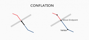
When you have two conflicting data sets, conflation resolves conflicts by preserving the most accurate one. Edgematching and rubbersheeting helps fix errors
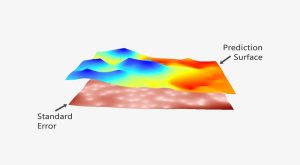
The prediction is strong in kriging. In this guide to geostatistics we embark on a journey to sculpt a legendary prediction model with kriging interpolation
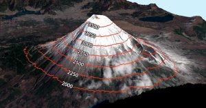
Contour lines have constant values on them such as elevation. But it’s also used in meteorology (isopleth), magnetism (isogon) & even drive-time (isochrones)

Some things in life are certain. In ArcGIS, it’s the Esri 999999 error. Here are techniques to troubleshoot this ArcMap error.

In the case of a semi-variogram, closer things have less variability and are similar. While things farther away are less predictable and are less related.

Rasterization converts vectors into rasters. While vectorization transforms rasters in vectors. We explain how to go from one data model to the other.
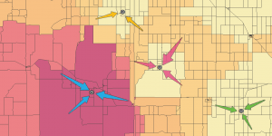
Huff Gravity Model uses store size and distance along with census tract population to understand the probability that consumers will patron retail stores.