West Indies Map with Countries and Dependencies
Our West Indies map collection highlights the 13 countries and 18 dependencies for this group of islands in the Caribbean Sea.
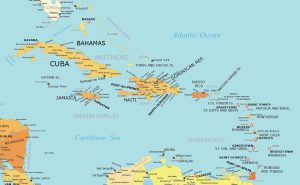
Our West Indies map collection highlights the 13 countries and 18 dependencies for this group of islands in the Caribbean Sea.
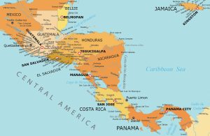
Our map of Central America is free to download and use for any purpose. We’ve created five separate maps as part of our collection.
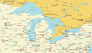
Dive into our Great Lakes map collection highlighting Superior, Michigan, Huron, Erie, and Ontario. Download and print them today.
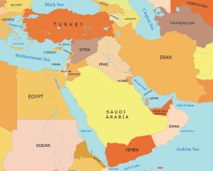
We bring to you five maps in our Middle East map collection including political, physical, administration, and other types of maps.
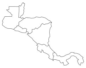
Download a blank map of Central America and all of its 7 countries. Our unlabeled Central America map shows outlines of each country.
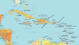
This map of the Caribbean Islands is for anyone wanting a free, downloadable map of this region. It includes countries, capitals, and more.
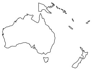
Our blank map of Oceania is available for anyone who needs an unlabeled map. It includes two maps – (1) Black and white (2) color blank map.
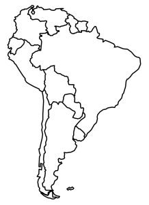
Get familiar with South America with this blank map. We include continent maps and country blank maps of South America.
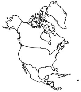
Take a look at these blank maps of North America. You’ll find a full continent map and individual maps of all the countries in the continent.
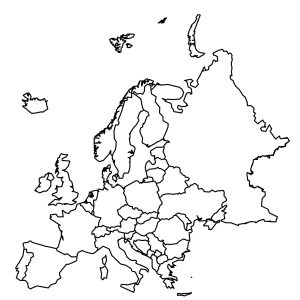
Our blank map of Europe and country outlines are free to use. Download them today and use them for commercial or educational needs.