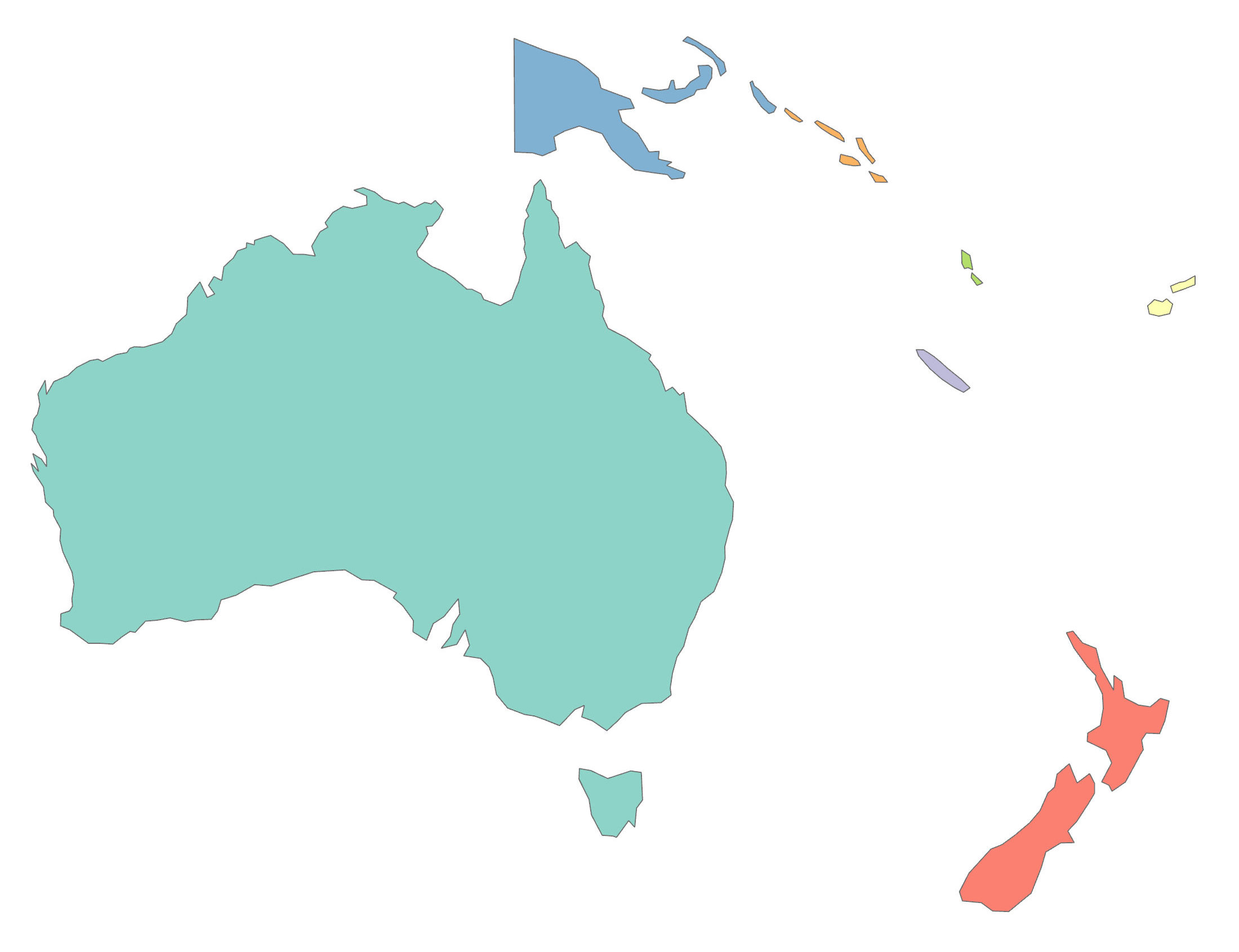
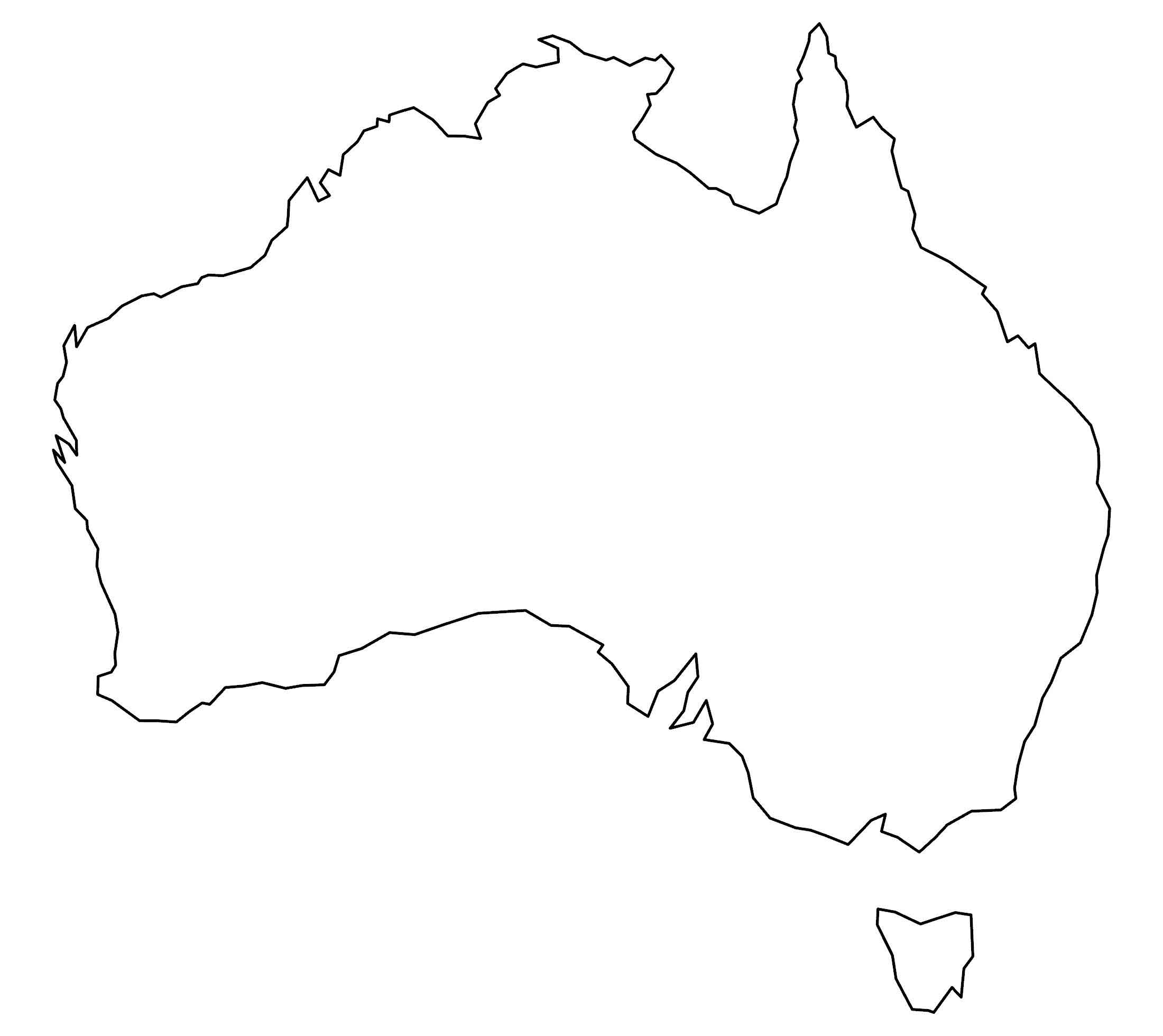
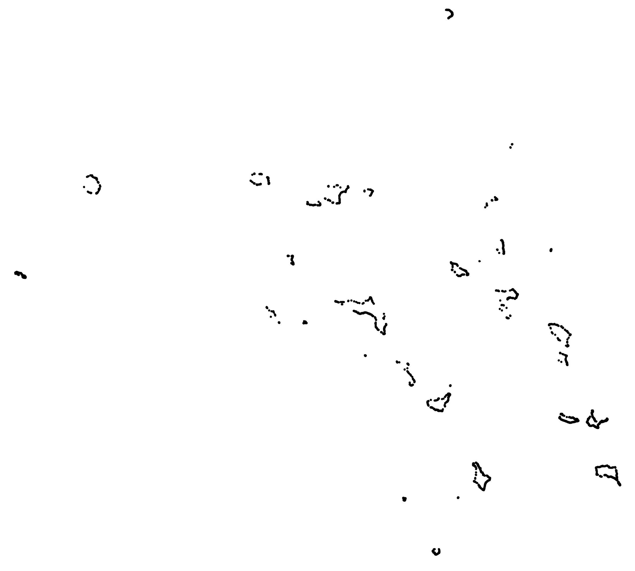
Oceania Blank Map and Country Outlines
Our blank map of Oceania is available for anyone who needs an unlabeled map. In our first collection, we have two maps:
- Black and white country outlines
- Color blank map
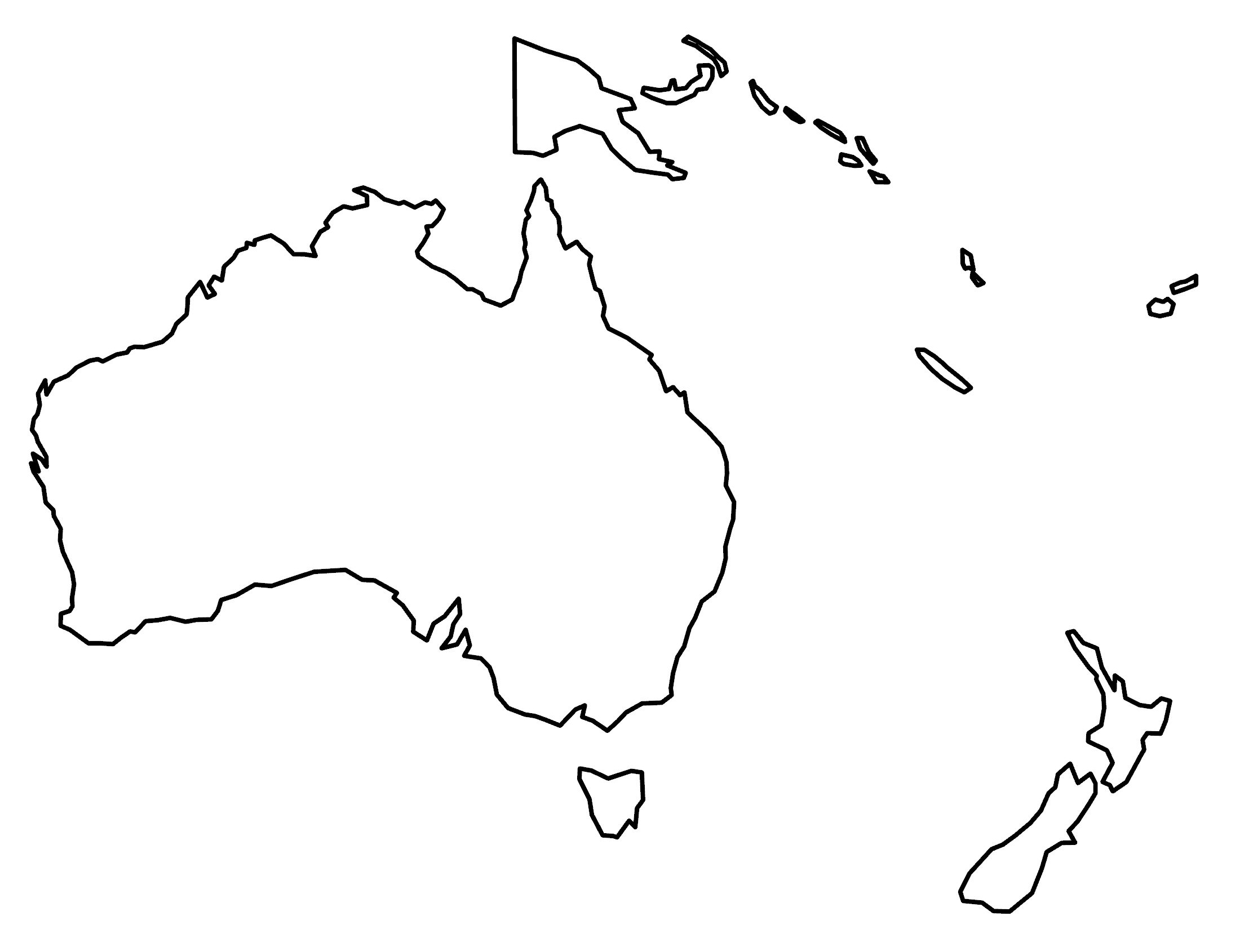
Download these empty maps today and start using them in any way, shape, or form. It includes the various islands and nations of Oceania.
You are free to use our blank map of Oceania for educational and commercial uses. Attribution is required. How to attribute?
Oceania Country Outlines
If you’re looking for maps of countries in Oceania we’ve prepared these blank maps below. Similar to our continent maps above, use them commercially or in classrooms.
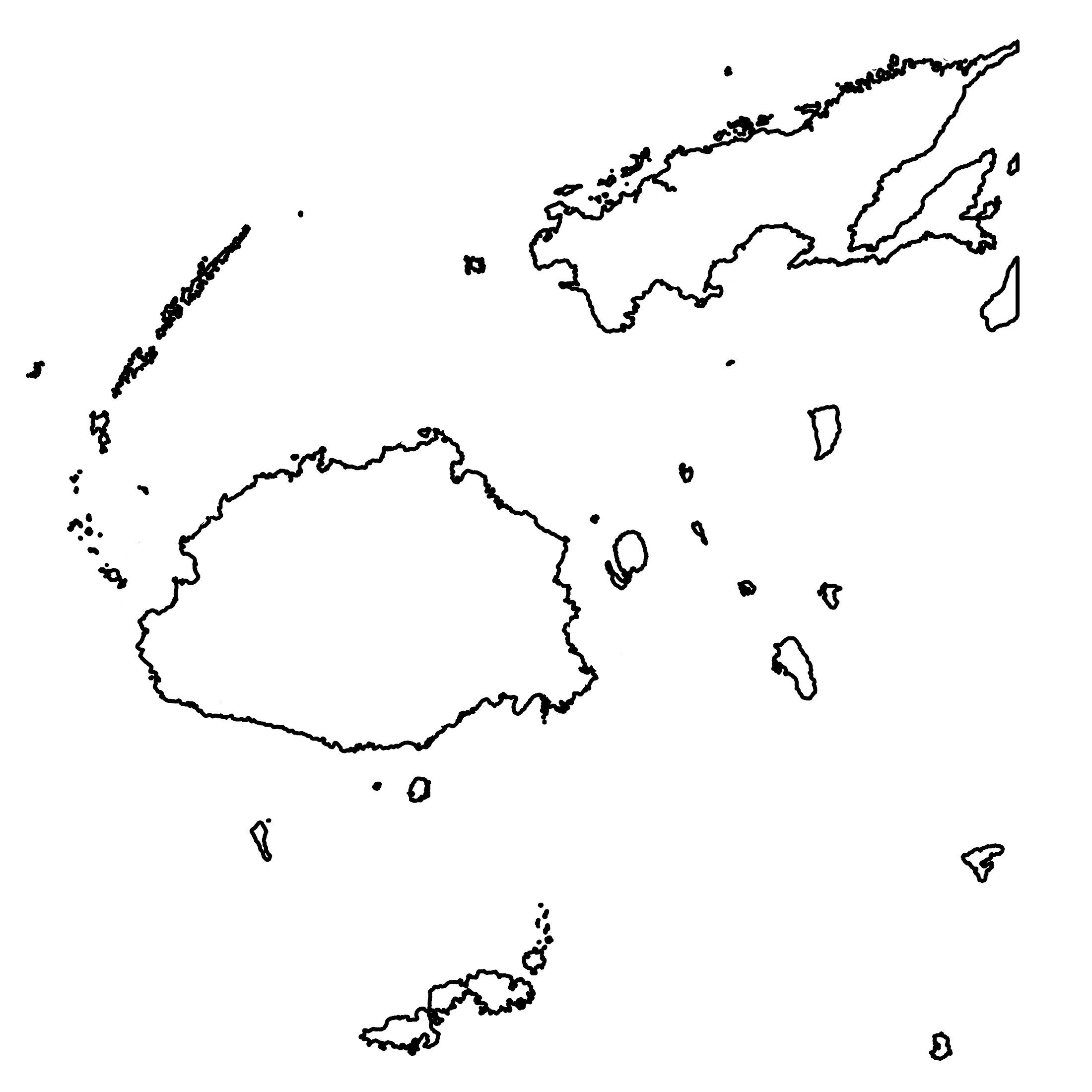
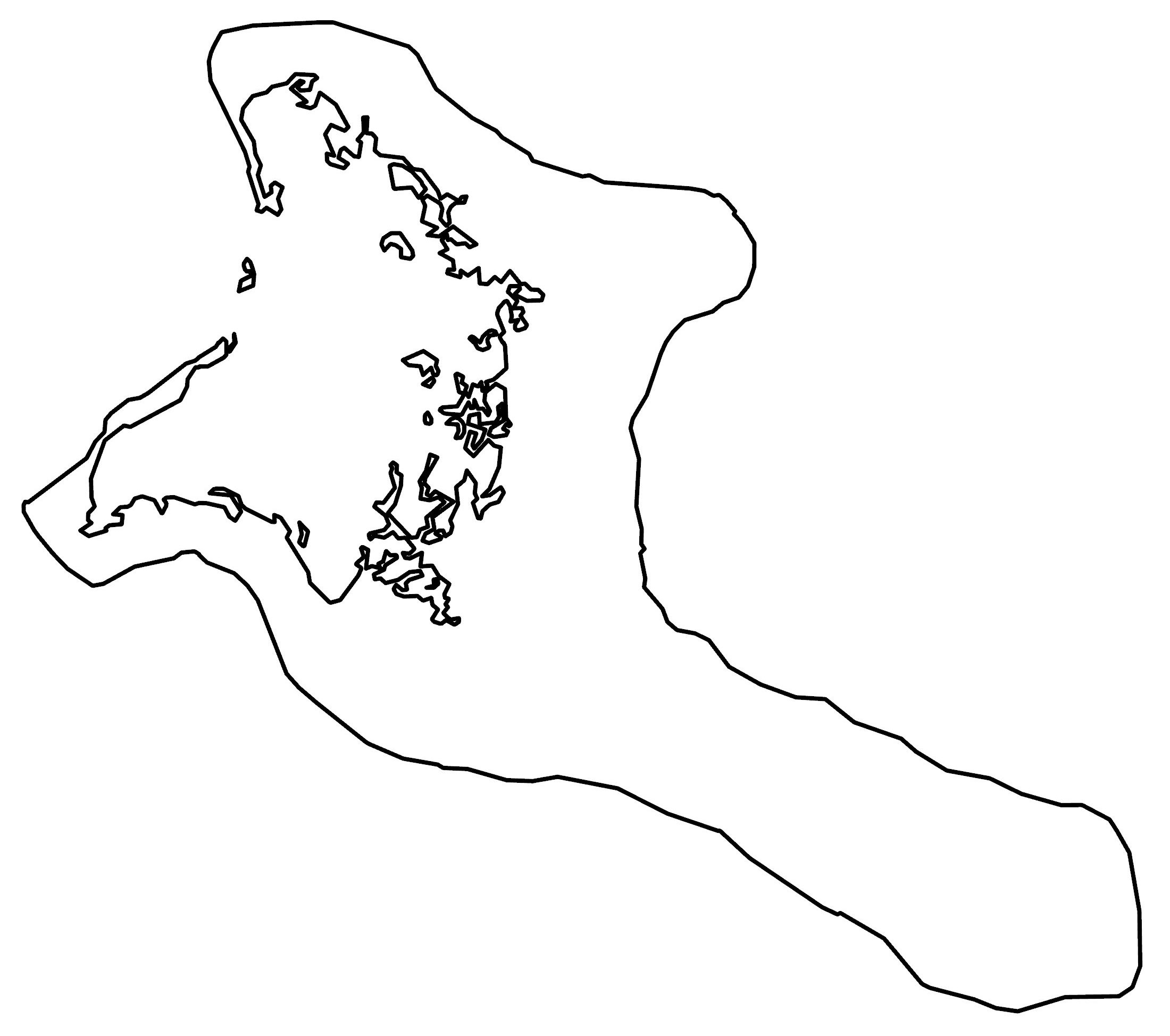
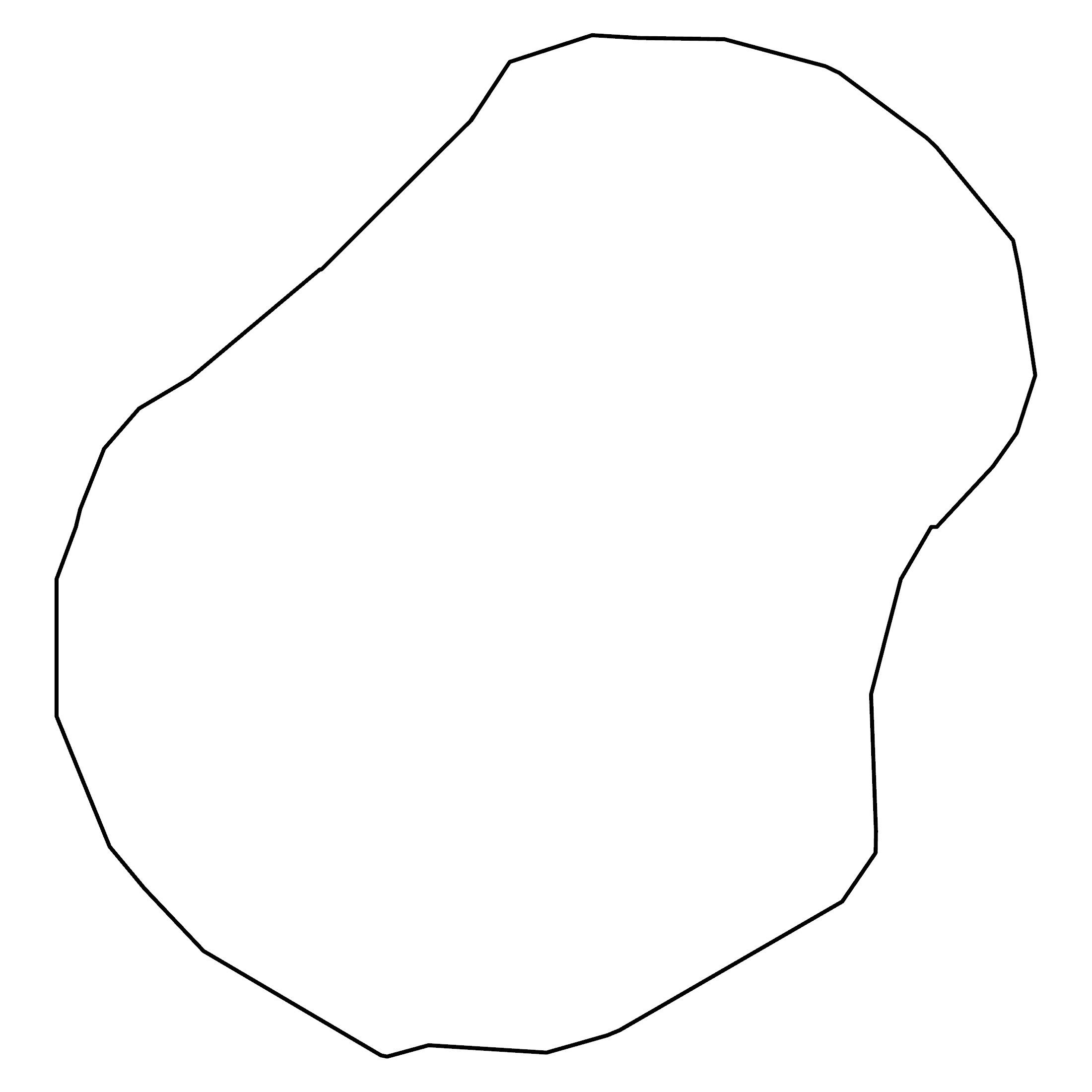
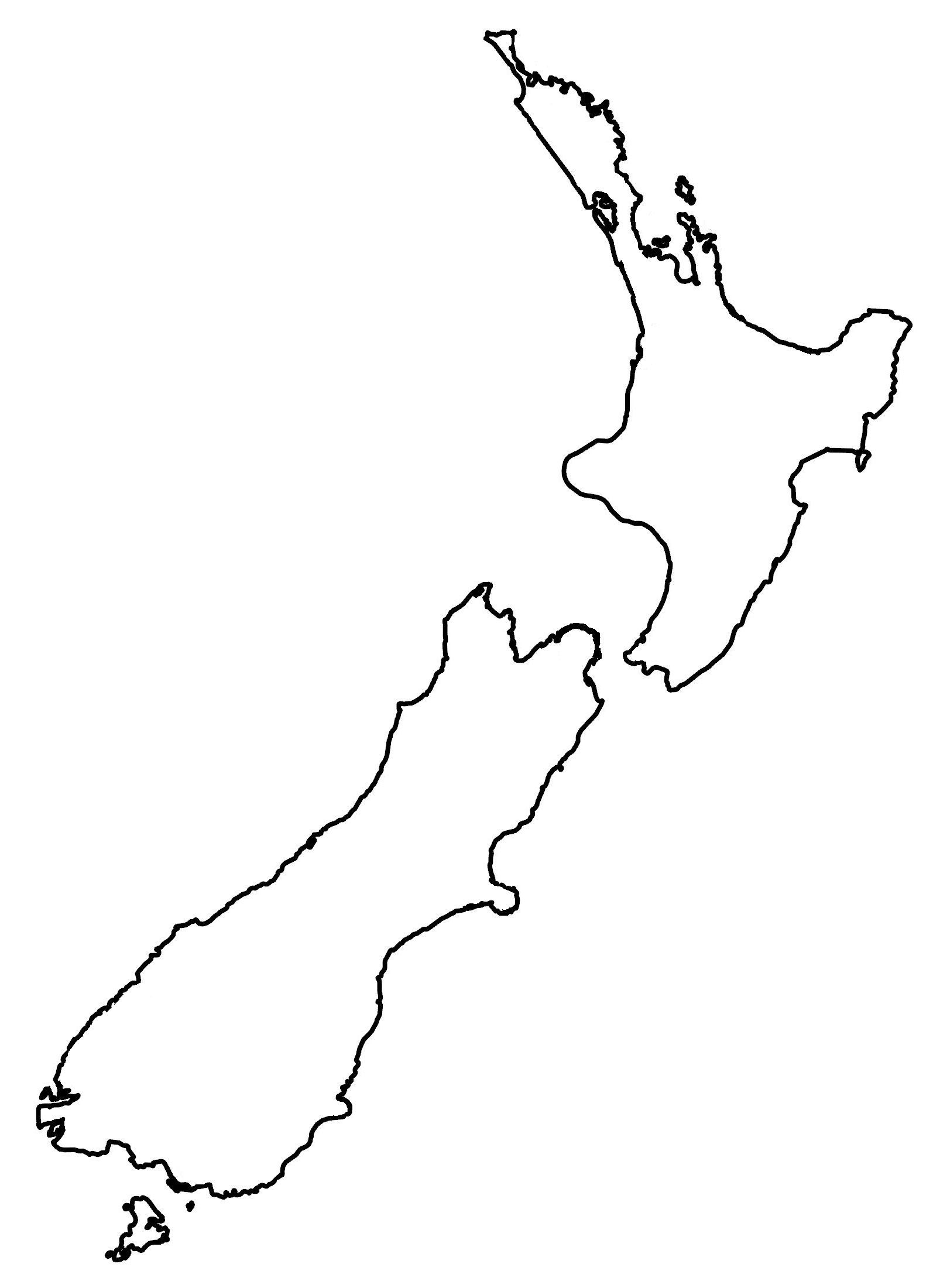
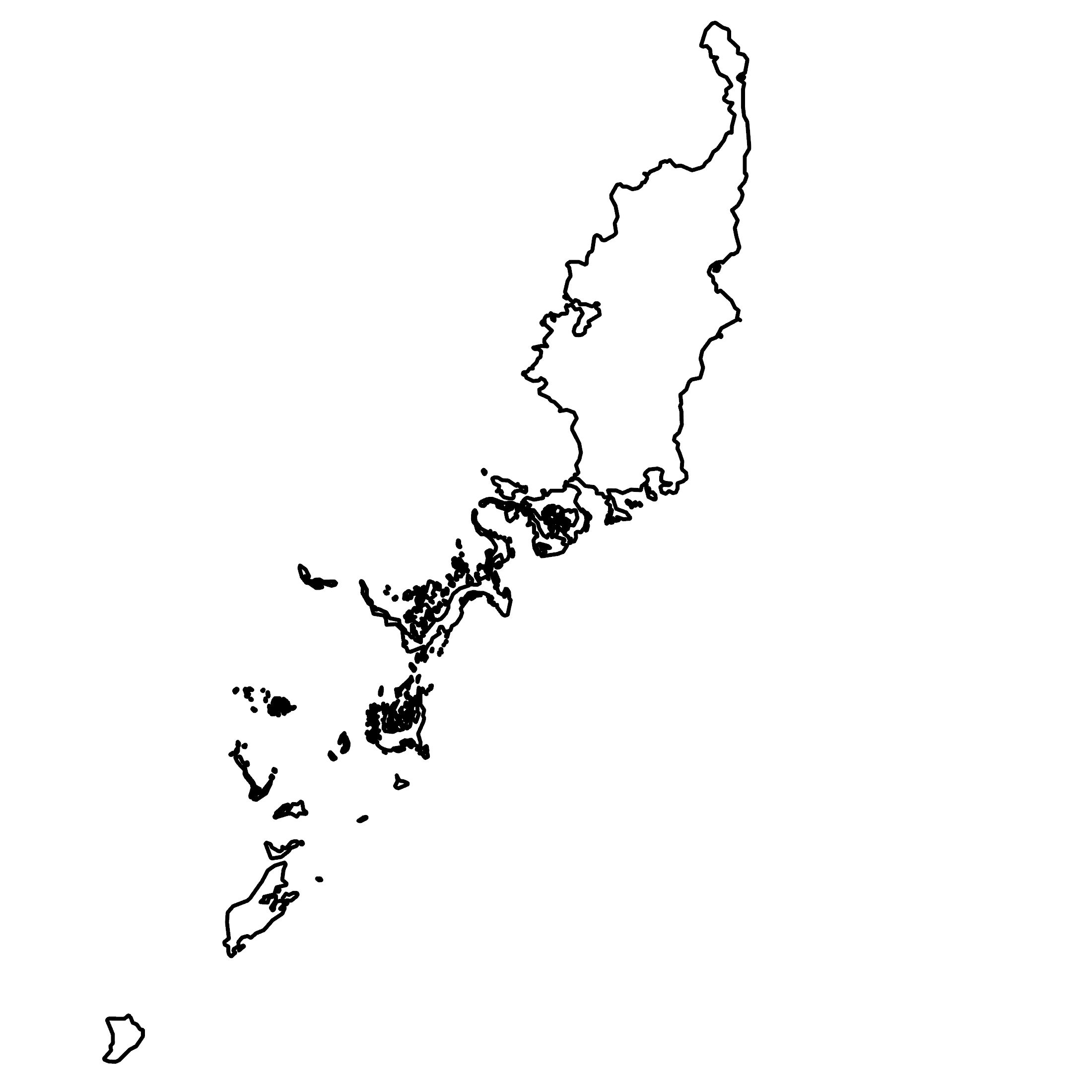
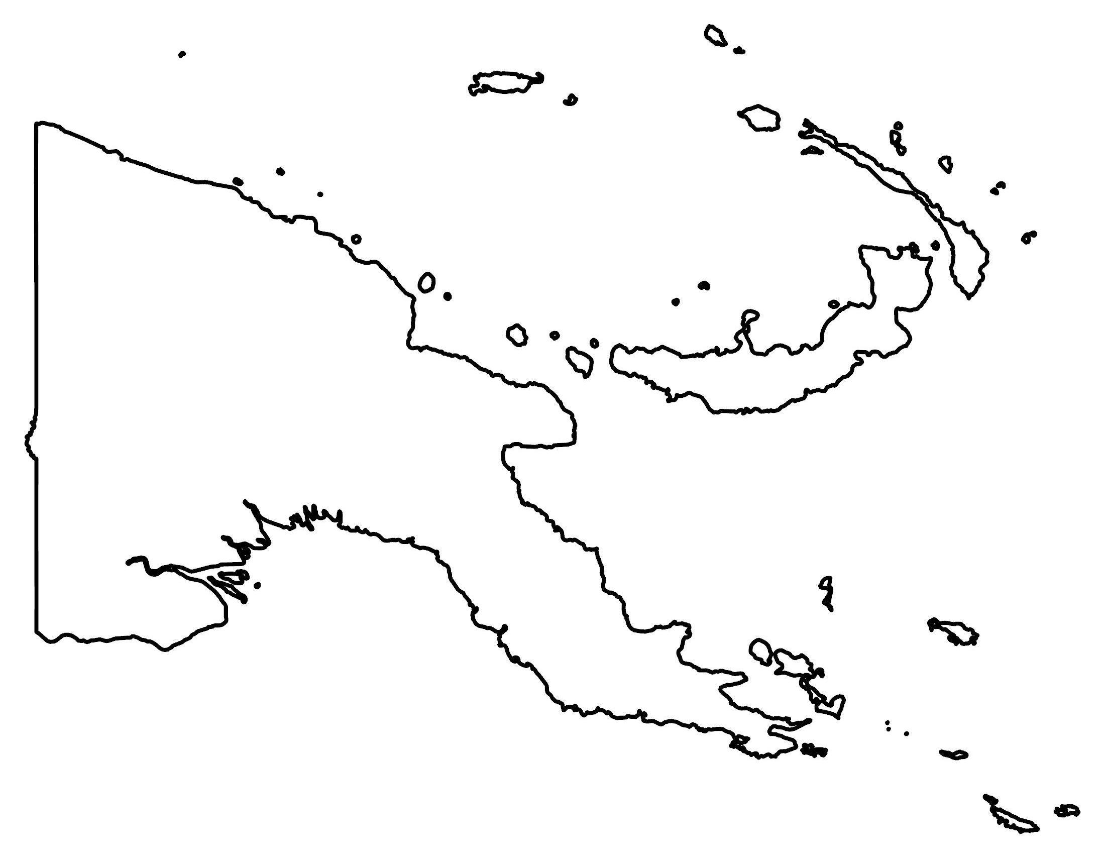
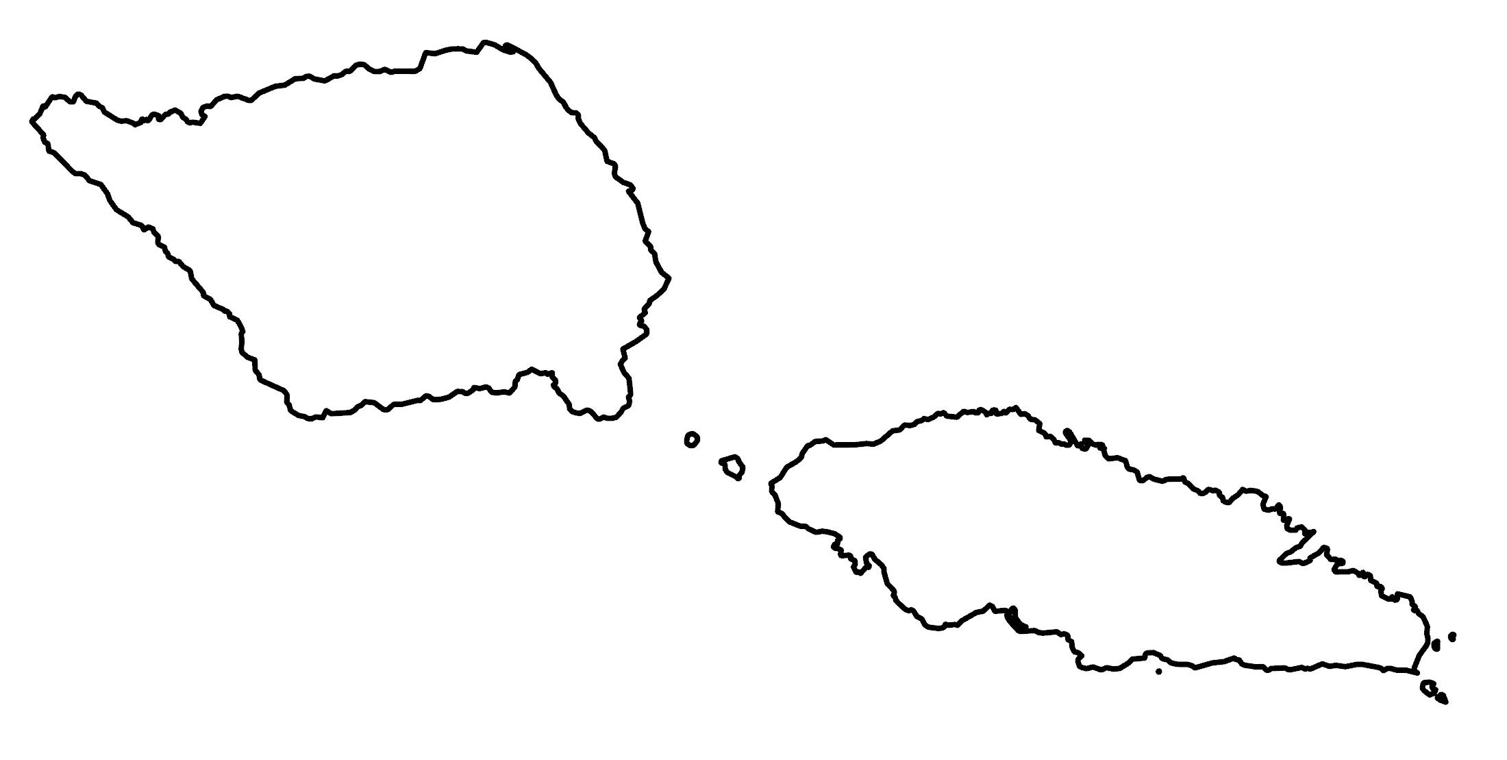
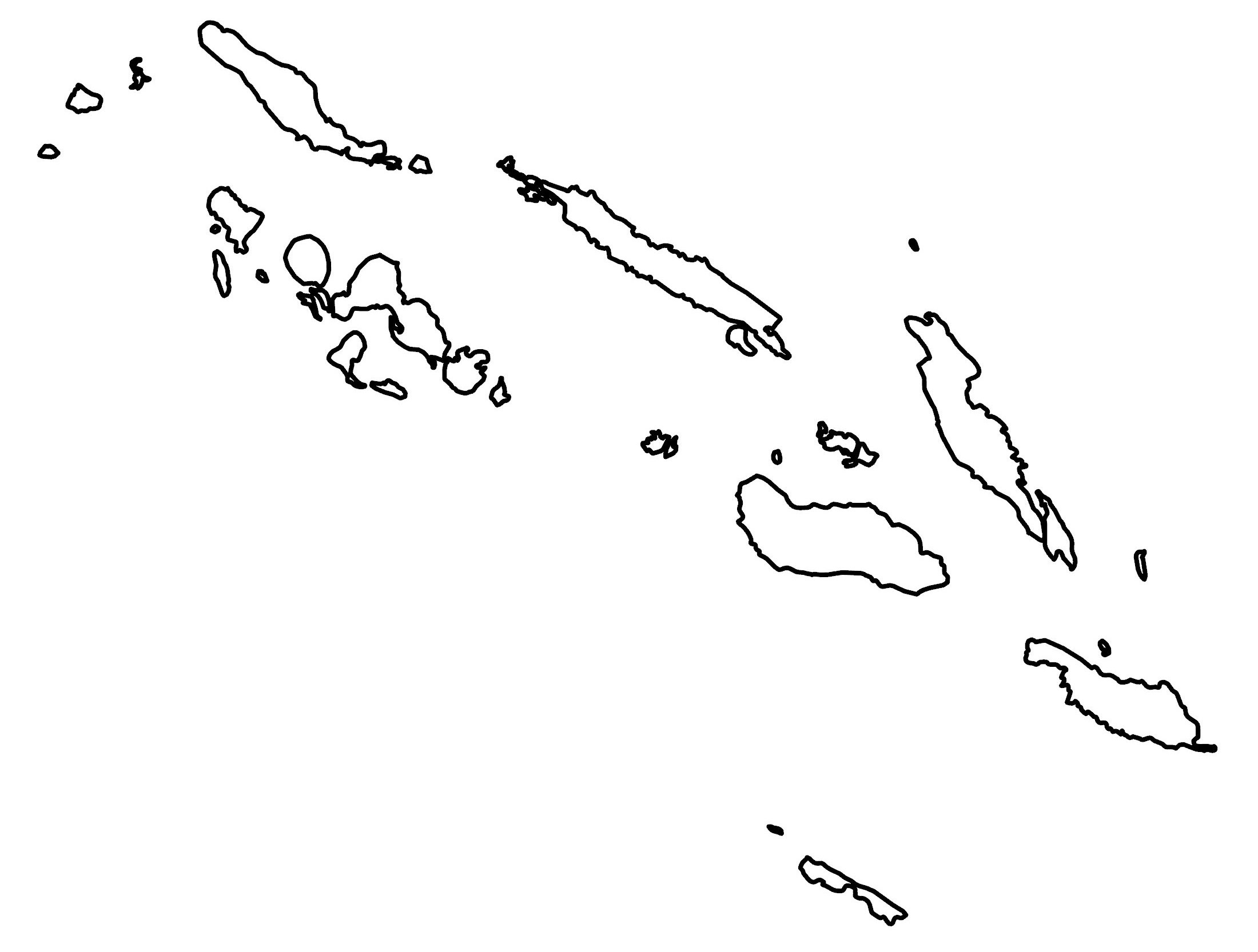
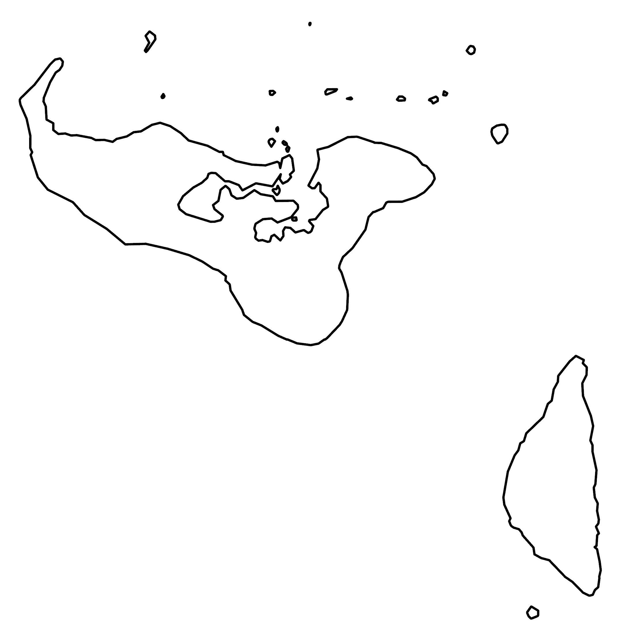
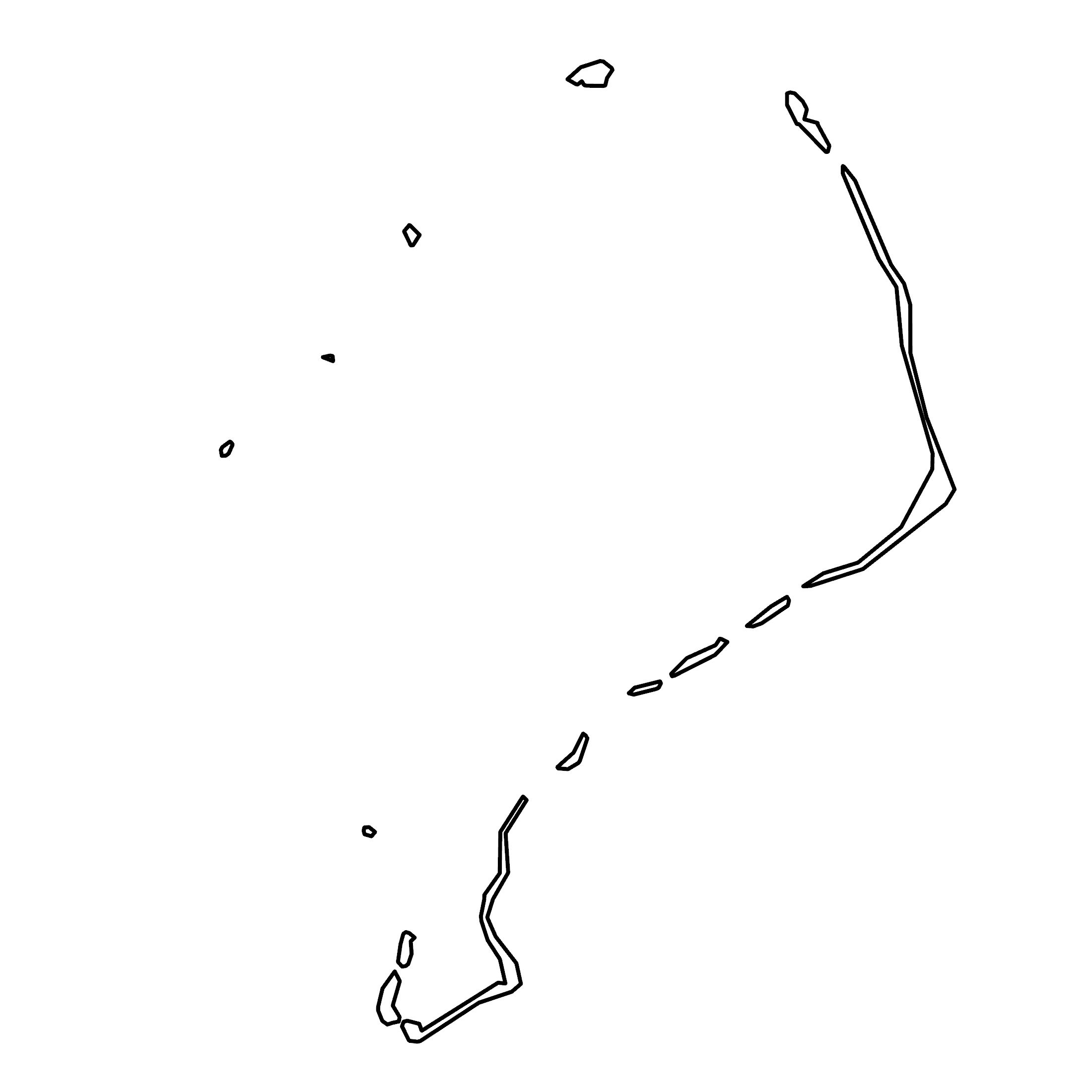
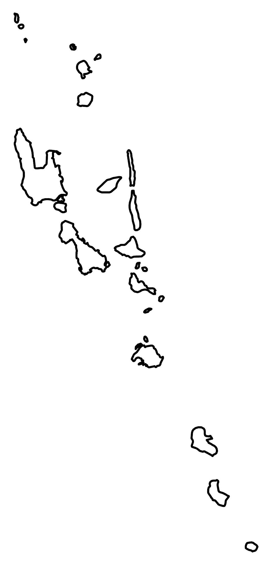
These printable blank maps are a great resource for mastering the geography of Oceania. Print them today for teaching this continent or any other usage.
World Atlas of Oceania
Did you know that we also have an atlas of Oceania too? We have all the countries in Oceania, including several cities in Australia. Take a look at our detailed maps below.
Jump To: Australia & New Zealand | Melanesia | Micronesia | Polynesia
Australia & New Zealand


Polynesia


Most of our detailed maps contain political, satellite, physical, and administration maps. Refer to them to better understand each country’s landscape.
Why do you need a blank map of Oceania?
People always ask me. What good is a map without any information inside of it? But you’d be surprised what you can do with an empty map…
I love how you can fill it in and check your knowledge of geography. Where are the cities, lakes, and mountains? It’s an empty slate for you to fill in.
But even better: sometimes it’s just handy having a blank canvas. Then, you can decide what you want to include. It’s the perfect starting point for your map creation.
Outline Maps
Choose from our outline maps below. Download them today and use them for free.