Central America Map – Countries and Cities
Our map of Central America is free to download and use for any purpose. We’ve created five separate maps as part of our collection.

Each map shows the countries of Belize, Costa Rica, El Salvador, Guatemala, Honduras, Nicaragua, and Panama.
You are free to use our Central America maps for educational and commercial uses. Attribution is required. How to attribute?
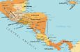
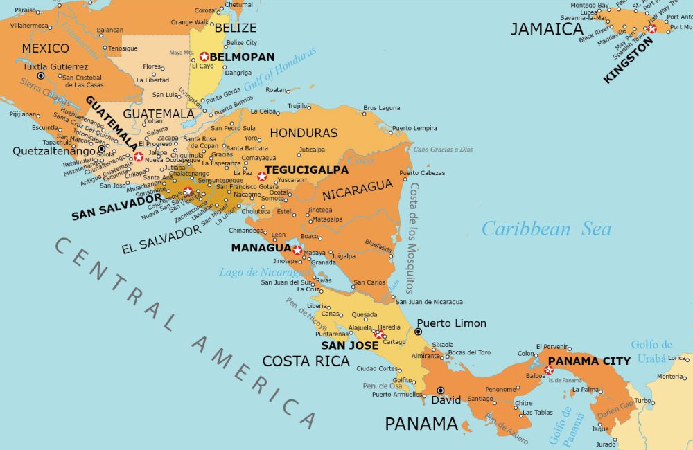
Detailed Central America Map
This Central America Map shows the 7 countries and major cities of this region. You’ll also find labels for water bodies like gulfs and seas.
Similar to all maps on this page, please feel free to download this map. We appreciate it if you could add a reference if you use it for any uses or applications.
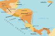
Simple Central America Map
This simple Central America map includes only country names. It’s simplified because it doesn’t incorporate river names or place points.
It’s basically a blank slate that you can fill in. You can fill it in and it is a perfect canvas for educational purposes or creative geographic projects.

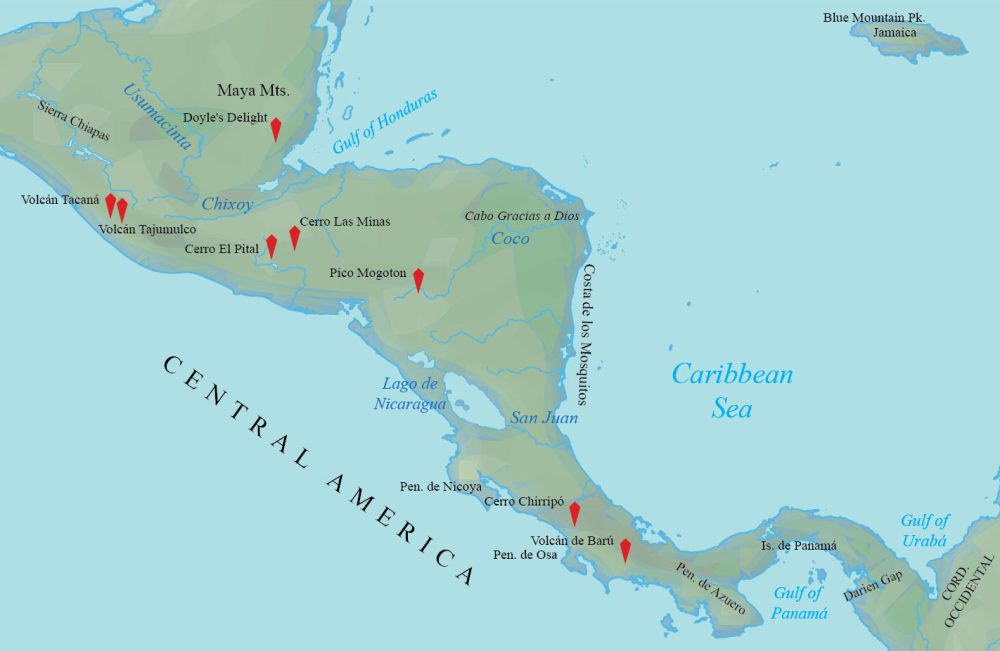
Physical Map of Central America
This is also a simplified version of the map. But it specializes in showing the physical terrain of Central America
You’ll find mountain peaks as well on this map. For instance, it includes Volcán Tajumulco, Cerro Chirripó, and Volcán Barú.
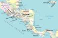
Administration Map of Central America
This administration map of Central America focuses on the provinces and states. Each administrative unit has colors to distinguish one from the other.
Although this map is a bit busy, it provides details for all the populated areas in Central America.
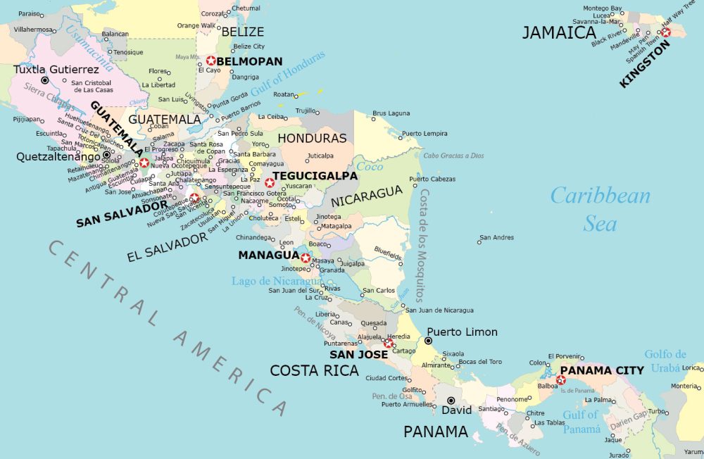
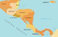
Central America Map with Countries and Capitals
This map is as straightforward as they come. It features the countries and capitals in Central America. Plus, it also shows key features, major cities, gulfs, and seas.
It provides a clear guide for geographic reference. You can also familiarize yourself with the various lakes and other geographic features.

Where is Central America?
Central America is located to the south of Mexico. It forms the connection between the continents of North and South America.
This region is characterized by a narrow strip of land that links the continents. Plus, it’s bordered by the Pacific Ocean to the west and the Caribbean Sea to the east.
Central America is not considered a continent on its own. Instead, it is a subregion that is part of the continent of North America.
Which countries belong to Central America?
Central America comprises seven countries: Belize, Costa Rica, El Salvador, Guatemala, Honduras, Nicaragua, and Panama.
The table below lists each country in Central America including a brief geographic description.
| Country | Geographic Location |
|---|---|
| Belize | Eastern coast, borders Mexico and Guatemala |
| Costa Rica | Borders Nicaragua, Pacific and Caribbean coasts |
| El Salvador | Smallest, densely populated, Pacific coastline |
| Guatemala | North of El Salvador and Honduras |
| Honduras | Central, Caribbean and Pacific coastlines |
| Nicaragua | Largest, between Honduras and Costa Rica |
| Panama | Southernmost, borders Colombia, canal country |
Central America World Atlas
Central America is a region known for its diverse landscapes, tropical climate, and cultural heritage. Our world atlas is your answer if you’re looking for detailed country maps.
Click on any of the detailed maps below. Each map generally includes political, satellite, and terrain maps for each Central American country.
Central America


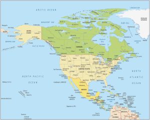
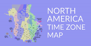
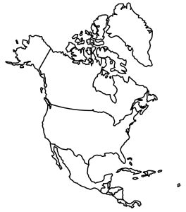
Atlas of North America
Need maps of North America? Our collection includes time zone maps, country outlines, and continent overview maps. Find out more by simply clicking on the map below.