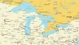
Map of the Great Lakes of North America
Our map of the Great Lakes provides a visual of the iconic interconnected lakes. Explore the shores, islands, and coastal cities of Lake Superior, Michigan, Huron, Erie, and Ontario.

We’ve created four maps that you can download for free and use for any purpose. It contains a simplified, detailed, and physical map of the Great Lakes.
You are free to use our Great Lakes maps for educational and commercial uses. Attribution is required. How to attribute?
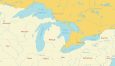
Detailed Map of the Great Lakes
Dive into more detail with these Great Lakes maps highlighting Superior, Michigan, Huron, Erie, and Ontario. You’ll find provinces, states, and water bodies.
We also include city names – capitals, towns, and smaller populated places. This way, you’ll be able to find all coastal urban areas along the Great Lakes.
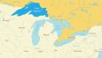
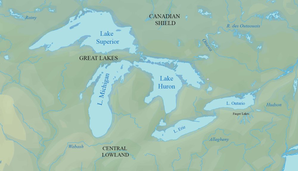
Physical Map of the Great Lakes
Explore the intricate landscapes with this physical map showing the terrain of the Great Lakes. Each of the five lakes has labels to distinguish them.
This physical map can also help you discover topographical features, elevations, rivers, valleys, and natural landmarks across diverse regions.
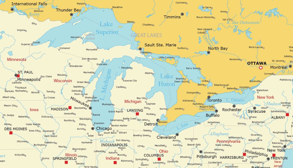
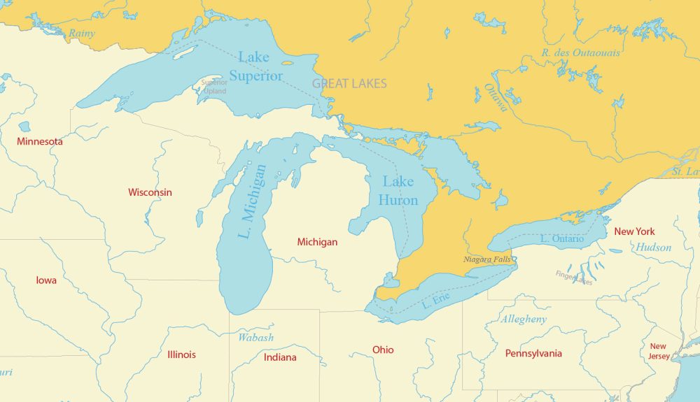
Simple Map of the Great Lakes
This is just a simple map showing the states and rivers (including labels) that surround the Great Lakes system.
We allow you to download and use these maps, including our detailed, simple, and physical maps. Please provide a citation to this webpage if you use any of our maps of the five Great Lakes.
From largest to smallest, here are individual maps that highlight each of the 5 Great Lakes.
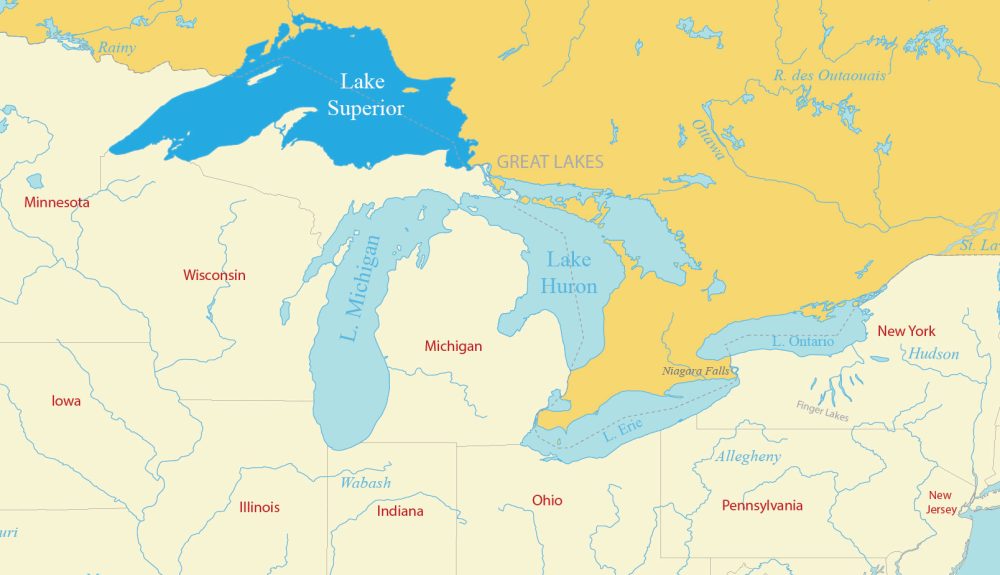
Lake Superior Map
Situated between Minnesota, Wisconsin, Michigan, and Ontario, Lake Superior is the largest of the Great Lakes.
This map of Lake Superior highlights its shoreline and geographical extent. It also labels states, provinces, and the major cities along its shores.
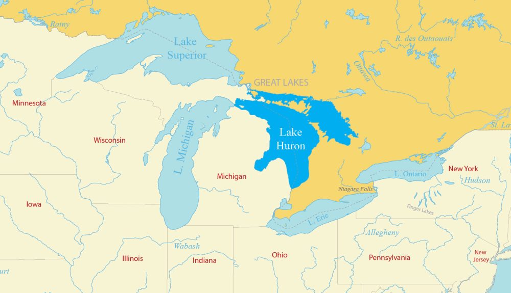
Lake Huron Map
Lake Huron is the second-largest of the Great Lakes. It also holds the largest freshwater island in the world—Manitoulin Island.
This map will help you discover the boundaries of Lake Huron. Lake Huron borders the Canadian province of Ontario to the north and the state of Michigan to the west and south.
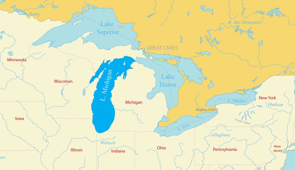
Lake Michigan Map
Lake Michigan spans the states of Illinois, Indiana, Michigan, and Wisconsin. It’s a major contributor to the economy of the Midwest. Plus, it’s the only Great Lake entirely within the United States.
It boasts a shoreline that stretches over 1,600 miles, making it the longest freshwater coastline of any lake in the United States. This map of Lake Michigan highlights its expansive shoreline and coastal populated places.
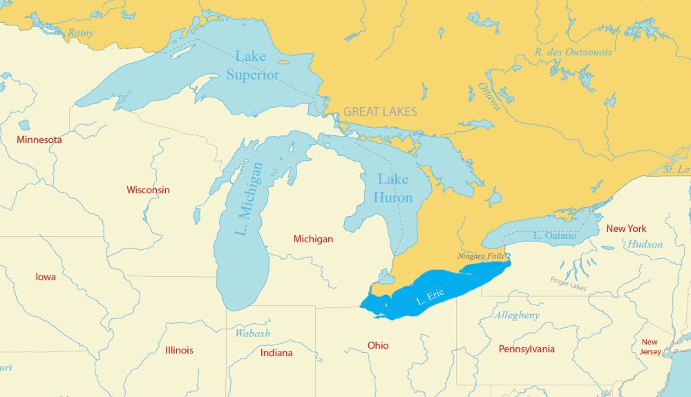
Lake Erie Map
Lake Erie is bounded by the U.S. states of Ohio, Pennsylvania, and New York to the south and the Canadian province of Ontario to the north. It has a diverse shoreline that ranges from sandy beaches to cliffs.
Our map of Lake Erie delineates its diverse coastline and key geographical elements. You’ll find everything from urban areas to its surrounding US states and Canadian provinces.
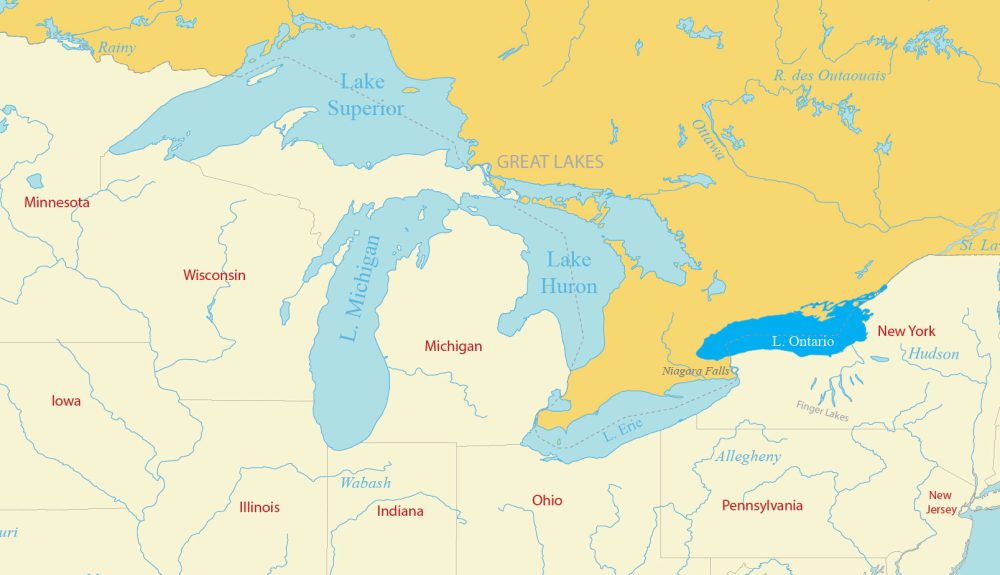
Lake Ontario Map
Finally, Lake Ontario is the easternmost of the Great Lakes. Named after the Canadian Province of Ontario, it extends its reach into the state of New York and the province of Ontario.
It’s the smallest of the Great Lakes and serves as an outlet to the Atlantic Ocean through the Saint Lawrence River. Use our map of Lake Ontario without any restrictions.
Where Are the Great Lakes?
Located between the United States and Canada, the Great Lakes are five interconnected lakes consisting of Superior, Michigan, Huron, Erie, and Ontario.
The Great Lakes form the largest group of freshwater lakes in North America. Collectively, they also form the largest freshwater system in the world and account for 20% of freshwater globally.
The Great Lakes region holds a pivotal position in the continent’s landscape. Here is a table that summarizes some of the key information about the 5 Great Lakes of North America.
| Lake Name | Area (sq km) | Geographic Location |
|---|---|---|
| Superior | 82,103 | Borders Canada and the U.S., largest by surface area |
| Huron | 59,566 | Second-largest by surface area, between Canada and the U.S. |
| Michigan | 58,000 | Entirely within the U.S., second-largest by volume |
| Erie | 25,700 | Fourth-largest by surface area, smallest by volume |
| Ontario | 18,960 | Smallest by surface area, between Canada and the U.S. |
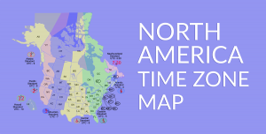
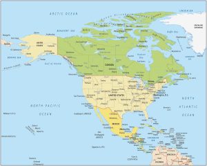
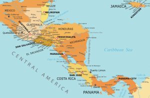
Atlas of North America
Looking for North American maps? Our collection features a variety of options, from time zone maps to country outlines. Discover more. Just click on the map shown below.