Mongolia Map and Satellite Image
A Mongolia map containing major cities, transportation and water features – Mongolia is in northern Asia, situated between China and Russia.
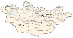
A Mongolia map containing major cities, transportation and water features – Mongolia is in northern Asia, situated between China and Russia.
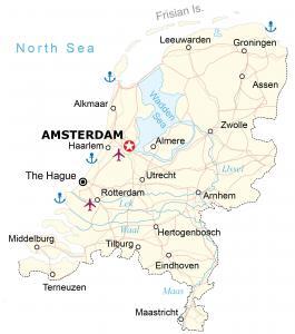
A map of Netherlands containing cities, transportation and water features – Netherlands is in western Europe next to Belgium and Germany.
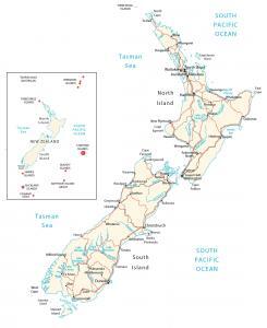
A map of New Zealand with cities, roads and water – New Zealand is an island in Oceania in the South Pacific Ocean, southeast of Australia.
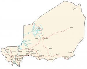
A map of Niger, Africa highlighting major cities, transportation and hydrography. Niger is located in Western Africa, southeast of Algeria.
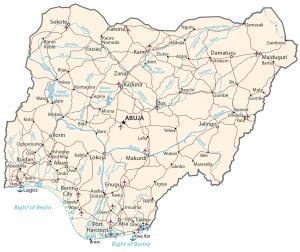
A Nigeria map containing cities, roads and water – Nigeria is located in western Africa, bordering the Gulf of Guinea, Benin and Cameroon.
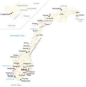
A map of Norway showing cities, roads and water – Norway is in northern Europe, along the North Sea, the North Atlantic Ocean, west of Sweden.
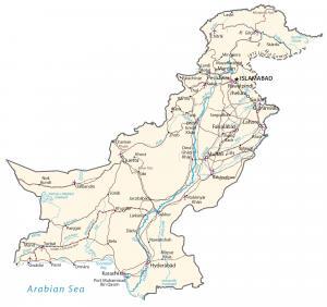
A Pakistan map of major cities, transportation and hydrography – Pakistan is in Southern Asia, bordering India, Iran, Afghanistan and China.
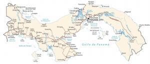
A map of Panama featuring cities, transportation and water – Panama is located in the North Pacific Ocean, between Colombia and Costa Rica.
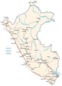
A map of Peru containing cities, roads and water – Peru is in South America, bordering the South Pacific Ocean, between Chile and Ecuador.
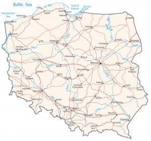
A map of Poland featuring major cities, transportation and water – Poland is in central Europe, east of Germany next to the Baltic Sea.