Portugal Map and Satellite Image
A map of Portugal featuring cities, roads and water features – Portugal is in southwestern Europe along the North Atlantic Ocean west of Spain.
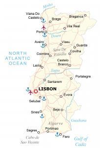
A map of Portugal featuring cities, roads and water features – Portugal is in southwestern Europe along the North Atlantic Ocean west of Spain.
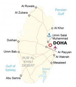
A map of Qatar showing cities, roads and municipalities – Qatar is a peninsula in the Middle East, bordering the Persian Gulf and Saudi Arabia.
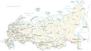
A Russia map featuring cities, roads and water features – Russia is in North Asia along the Arctic Ocean bordering Europe and South Asia.
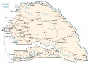
A Senegal map showing major cities, transportation and hydrography – Senegal is in Western Africa, beside the Atlantic Ocean & Guinea-Bissau.
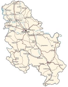
A Serbia map featuring major cities, transportation and waterways. Serbia is located in southeastern Europe, between Macedonia and Hungary.
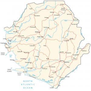
A map of Sierra Leone containing cities, roads and water. Sierra Leone is in western Africa next to the Atlantic Ocean, Guinea and Liberia.
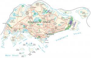
A map of Singapore featuring roads, expressways and major areas – Singapore is an island in southeastern Asia between Malaysia and Indonesia.
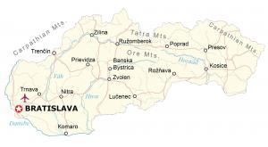
A map of Slovakia with major cities, transportation and water – Slovakia is located in central Europe next to Poland, Hungary and Ukraine.
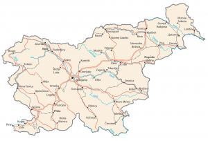
A map of Slovenia containing major cities, roads and water – Slovenia is in south Central Europe, Julian Alps between Austria and Croatia.
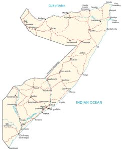
A Somalia map featuring major cities, roads and water. Somalia is in Eastern Africa, next to the Gulf of Aden, the Indian Ocean and Ethiopia.