Map of Singapore
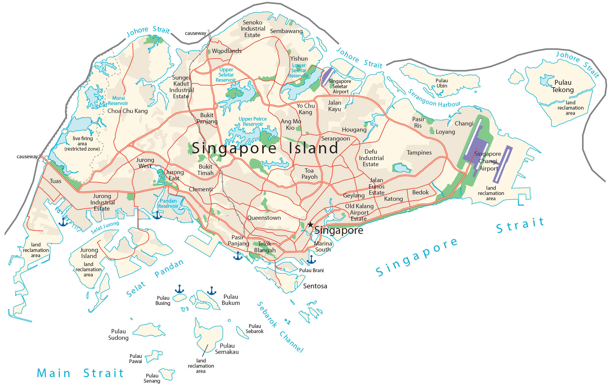
This Singapore map collection contains a reference map, satellite imagery, and a physical map. Each map of Singapore displays its highways, roads, neighborhoods, islands, and airports.
Singapore map collection

About the map
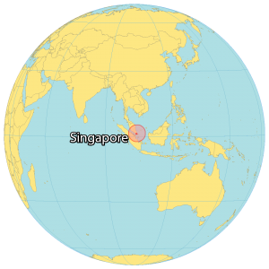
Singapore is an island country located in Southeastern Asia between the Indian Ocean and the South China Sea. The country occupies an area of just 728.6 square kilometers (281.3 sq mi), about 4 times larger than Washington, DC. Despite its small area, it’s still the world’s largest city-state. To the north, the Johore Strait separates Singapore from Malaysia.
Whereas to the south, it’s the Singapore Strait that separates it from Indonesia. Singapore is known for its multiculturalism, cleanliness, nature, safety, tourism, and technology. The population in Singapore is concentrated in the center, with pockets along the southern coast. It also has the third-highest population density in the world, after Monaco and Macau. Because the country is a city-state, the capital of Singapore is Singapore.
You are free to use our Singapore map for educational and commercial uses. Attribution is required. How to attribute?
SATELLITE IMAGERY
Singapore Satellite Map
Singapore consists of one main island of Ujong (Singapore Island) and 63 islands of islets in the south and east, some expanded from land reclamation. For example, it includes the islands of Jurong, Tekong, and Bukom. Sentosa Island is off the southern coast and location of the famous Merlion statue, half-lion, and half-fish.
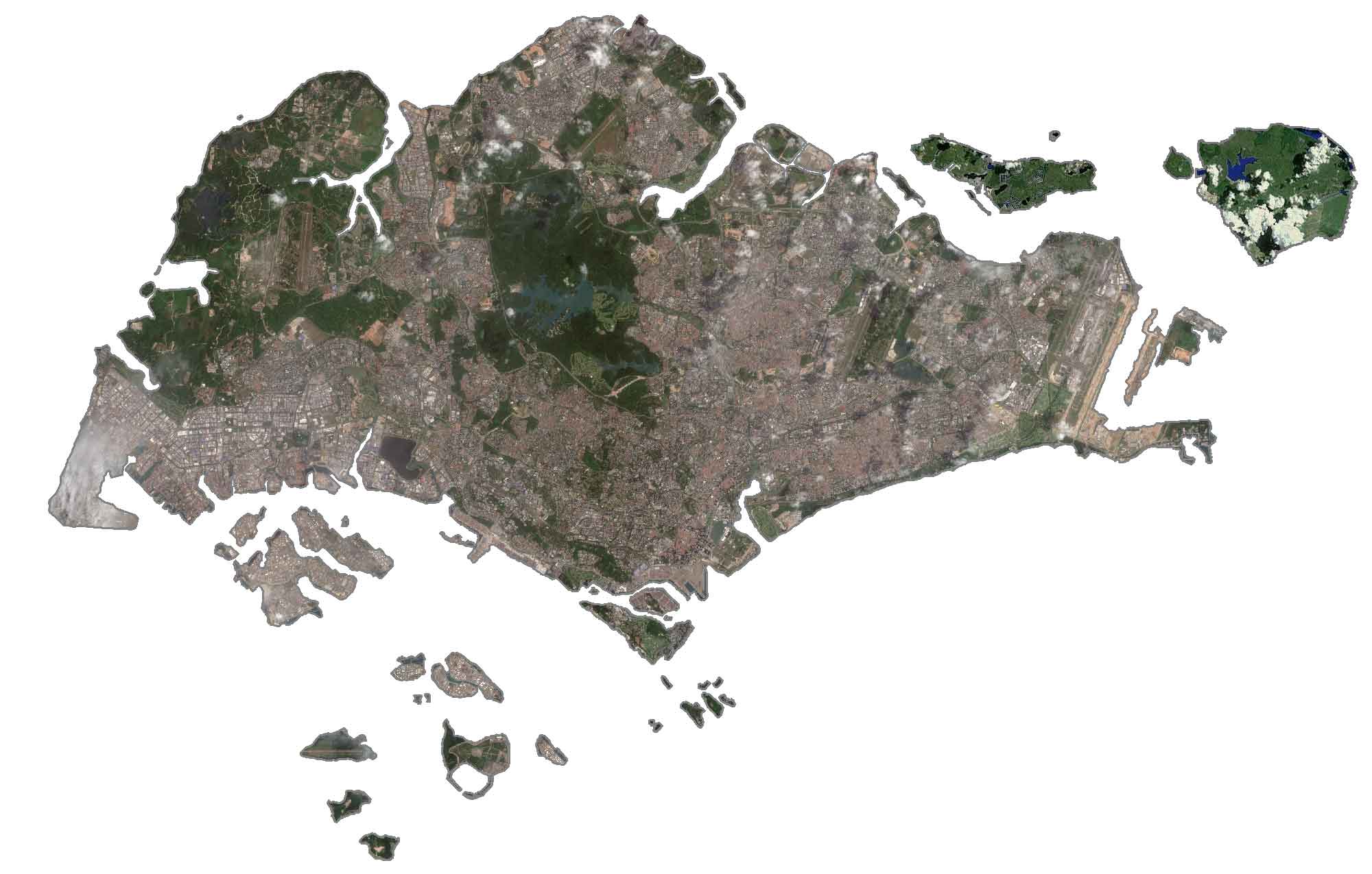
Although urbanization has resulted in the loss of its natural forests, Singapore maintains greenness in its nature reserves, such as the Bukit Timah Nature Reserve and the Sungei Buloh Wetland Reserve. Singapore lies slightly above the equator at 1°N so its climate is tropical rainforest. Singapore Changi Airport is located to the southeast of the island.
PHYSICAL MAP
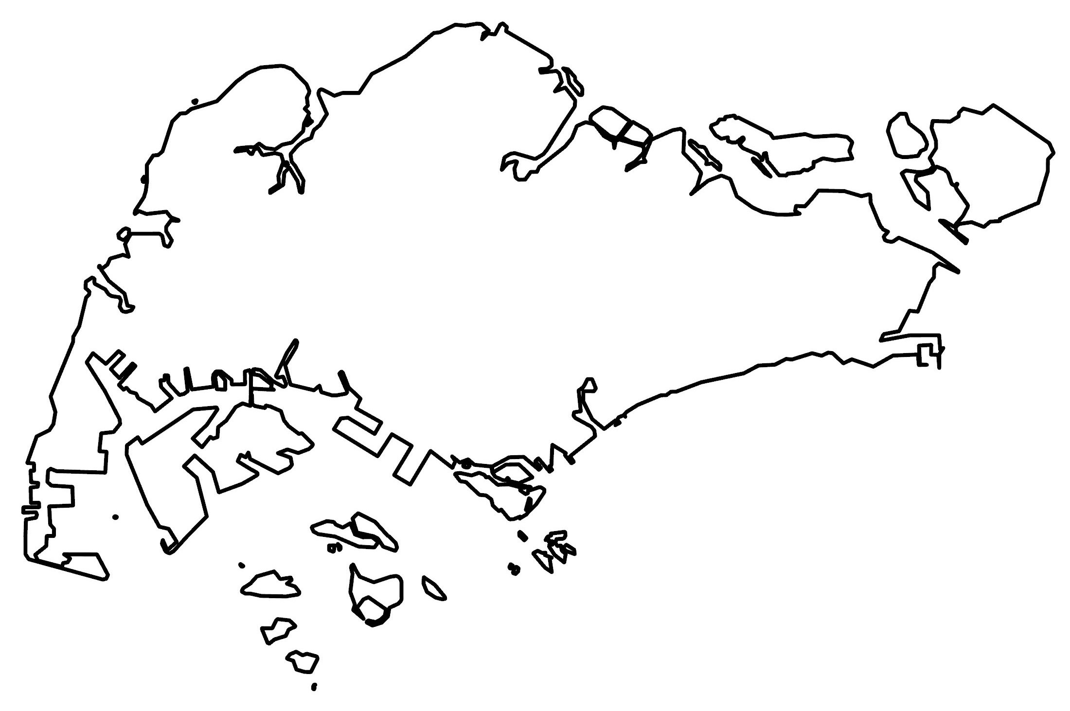
Singapore Physical Map
The terrain in Singapore is generally low-lying with a gentle central plateau. The east is characterized by its flatlands. Whereas the west has low-lying and rolling land. Its smaller islands consist of coastal beaches and low-lying areas.
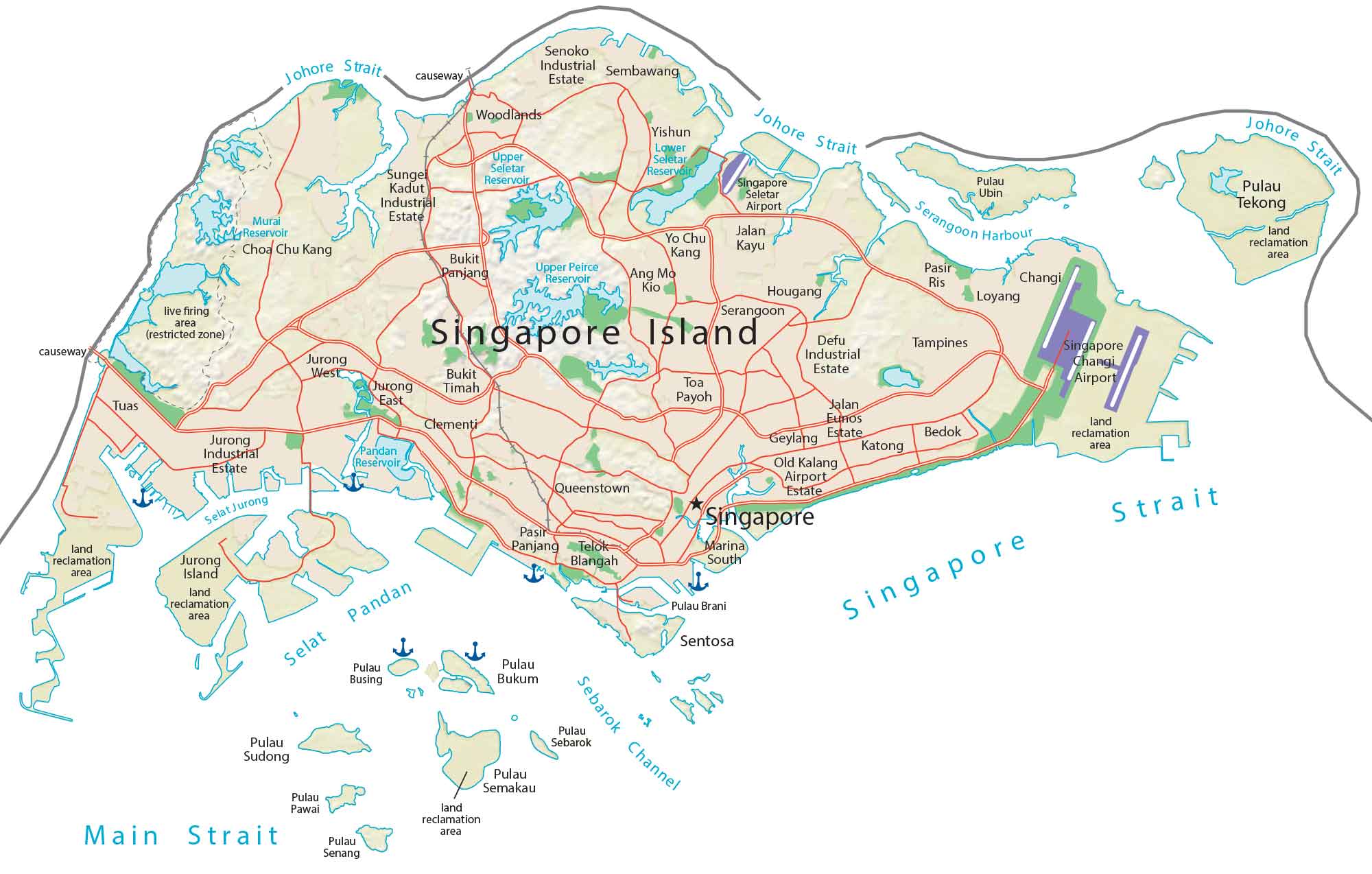
At 163.63 m (537 ft), Bukit Timah Hill it’s the highest natural point, located on a ridge near the center of Singapore Island. Although it has several reservoirs, Singapore has no major natural lakes. But the Singapore River is its most notable river which flows 3.2 kilometers until it terminates into the Marina Reservoir in the southern part of Singapore.
Capital City
Singapore
Populated places
Ang Mo Kio
Bedok
Bukit Panjang
Bukit Timah
Changi
Choa Chu Kang
Clementi
Geylang
Hougang
Jalan Kayu
Jurong East
Jurong West
Katong
Loyang
Pasir Panjang
Pasir Ris
Queenstown
Sembawang
Tampines
Telok Blangah
Toa Payoh
Tuas
Woodlands
Yishun
Yo Chu Kang
Districts
Defu Industrial Estate
Jalan Eunos Estate
Jurong Industrial Estate
Old Kalang Airport Estate
Senoko Industrial Estate
Sunge Kadut Industrial Estate
Lakes, rivers and water features
Johore Strait
Lower Seletar Reservoir
Main Strait
Murai Reservoir
Pandan Reservoir
Sebarok Channel
Selat Jurong
Selat Pandan
Serangoon Harbour
Points of interest
Marina South
Serangoon Harbour
Singapore Changi Airport
Singapore Seletar Airport
Islands
Jurong Island
Pulau Brani Island
Pulau Bukum Island
Pulau Busing Island
Pulau Pawai Island
Pulau Sebarok Island
Pulau Semakau Island
Pulau Senang Island
Pulau Sudong Island
Pulau Tekong Island
Pulau Ubin Island
Sentosa Island
Singapore Island


Thank you all for your incredible work. I would like to know the resolution of this satellite image of Singapore and how to download this image.
It’s Sentinel-2 so it’s 10m resolution