Equatorial Guinea Map
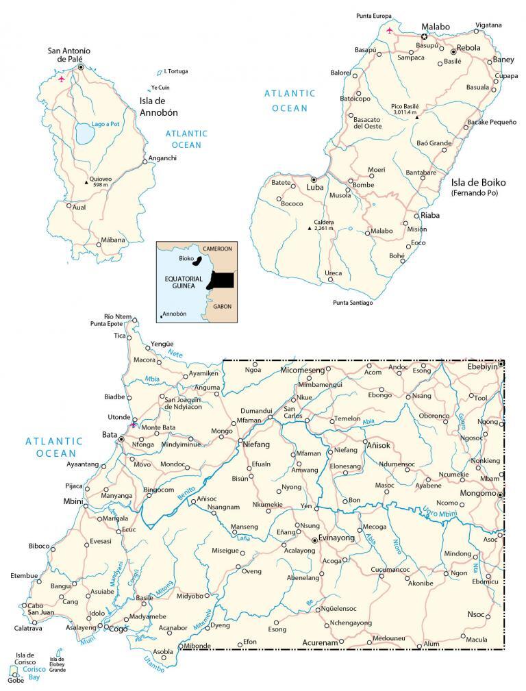
This map of Equatorial Guinea contains major cities, roads, rivers, lakes, satellite imagery, and elevation. It includes the islands Bioko and Annobon situated in the Atlantic Ocean.
Equatorial Guinea map collection
You are free to use our Equatorial Guinea map for educational and commercial uses. Attribution is required. How to attribute?
About the map
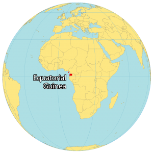
Equatorial Guinea is a small country located in Central Africa. It borders 2 other countries. Cameroon is to the north and Gabon wraps around from the south to the east.
Also, it shares 296 kilometers (184 mi) with the Gulf of Guinea in the Atlantic Ocean to the west. Equatorial Guinea consists of its mainland on the coast of Central Africa.
But it also contains 5 islands in the Atlantic Ocean, including Bioko Island which is home to its capital city of Malabo. Bata is the largest city. It’s situated on the west coast of the mainland known for being a port city. The population is about 1.3 million people and has one of the worst human rights records in the world.
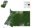
SATELLITE IMAGERY
Equatorial Guinea Satellite Map
Equatorial Guinea occupies a total area of 28,050 kilometers (10,830 sq mi), which makes it larger than Burundi but smaller than Lesotho. It contains five small islands in the Atlantic Ocean – Bioko, Corisco, Annobón, Elobey Chico (Small Elobey), and Elobey Grande (Great Elobey).
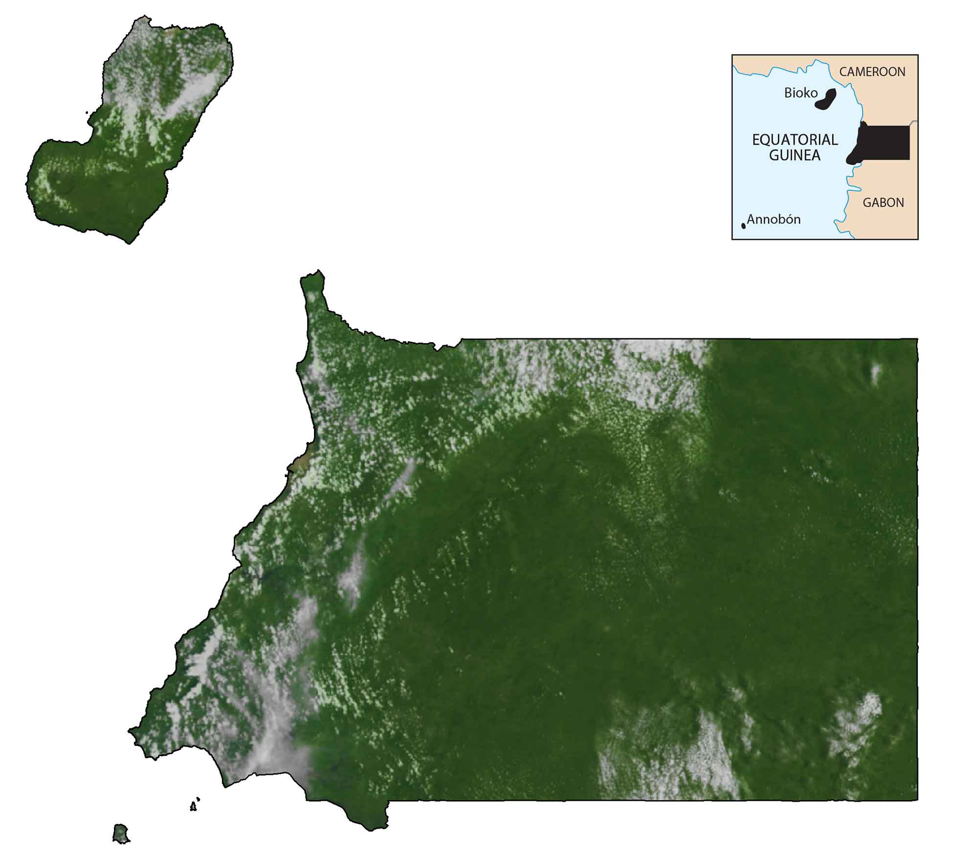
While Bioko Island is known for its volcanic formations, harbors, and beaches, Annobon Island has a tropical climate with heavy rainfall and windstorms. Dense tropical rainforest covers Equatorial Guinea. This makes it home to diverse flora, fauna, and animal life such as gorillas, chimpanzees, leopards, buffalo, antelope, elephants, hippopotamuses, and crocodiles.
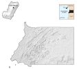
PHYSICAL MAP
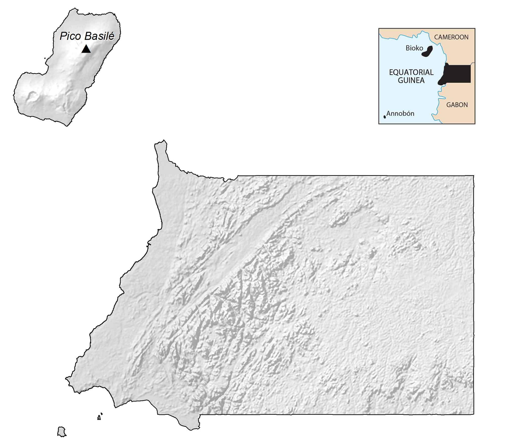
Equatorial Guinea Elevation Map
The continental region of Equatorial Guinea (Río Muni) contains a mix of coastal valleys, low hills, and mountains. Specifically, the Crystal Mountains are a chain of low mountains, lying parallel to the Atlantic Ocean. But Equatorial Guinea’s highest peak is on the island of Bioko. At 9,878 ft (3,011 m), Pico Basilé is located in the northern region forming a national park.
Capital City
Malabo
Major cities and towns
Akonibe
Añisoc
Bata
Ebebiyin
Evinayong
Luba
Micomeseng
Mongomo
Niefang
Rebola
Cities, towns and villages
Abenelang
Balorei
Bioko
Bisún
Bococo
Bohé
Bon
Bombe
Cang
Calatrava
Dumandui
Ebongo
Idolo
Mabana
Macora
Malabo
Mbini
Medouneu
Nkumekie
Nsangnam
Nsoco
San Carlos
San Joaquin
Sampaca
Santiago de Baney
Temelon
Tica
Yengüe
Lakes, rivers and water
Atlantic Ocean
Abia River
Benito River
Corisco Bay
Lago A Pot
Lana River
Mbia River
Muni River
Nete River
Nta River
Ntoro River
Mitong River
Mitemele River
Mandyani River
Islands
Annobon Island
Boiko Island
Corisco Island
Elobey Grande Island
Tortuga Island