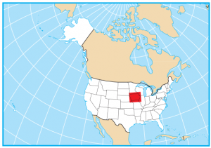
Iowa Lakes and Rivers Map
About the map
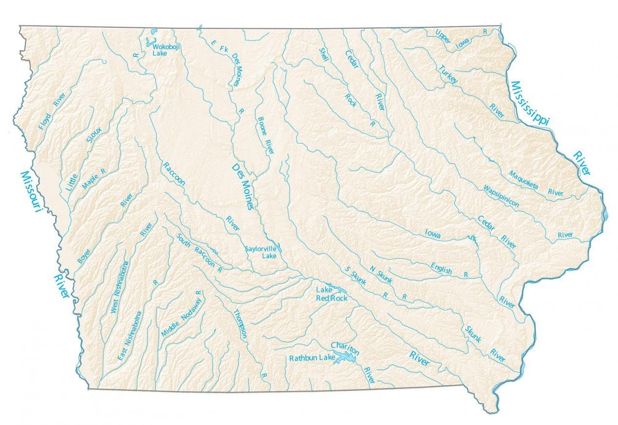
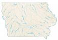
Iowa is a bit unique because rivers delineate its west and east boundary. On the west of Iowa, it’s the Missouri River that borders South Dakota and Nebraska. Then, on the east side of Iowa, it’s the Mississippi River that marks its border with Illinois and Wisconsin.
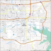
Some of the most prominent lakes and rivers are Des Moines River, Iowa River, and Rathbun Lake. Des Moines River is another key watercourse because it flows through the capital city – as shown in this map of Des Moines.
Lake Red Rock, Big Spirit Lake, and Rathbun Lake are the largest lakes in Iowa. All three lakes exceed 10,000 acres in area. We consider Missouri River as one of the longest prairie rivers in the world.
Iowa map collection
You are free to use our lakes and rivers map of Iowa for educational and commercial uses. Attribution is required. How to attribute?
Iowa lakes, rivers and reservoirs
Lakes and reservoirs
Rathbun Lake
Lake Red Rock
Saylorville Lake
Wokoboji Lake
Rivers and streams
Des Moines River
Missouri River
Mississippi River
Iowa River
Little Sioux River
Chariton River
Turkey River
Raccoon River
Cedar River
Wapsipinicon River
Boyer River
East Nishnabotna River
West Nishnabotna River
Thompson River
Skunk River
English River
Cedar River
Maquoketa River
Shell Rock River
Upper Iowa River
Boone River
Des Moines River
Floyd River
Maple River
South Raccoon River
Middle Nodaway River
Your Iowa Lakes and rivers map doesn’t show any lakes. Where can I get a map with than information?