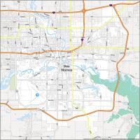
Map of Iowa – Cities and Roads

About the map
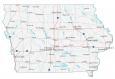
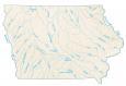
This map of Iowa displays cities, highways, rivers, and lakes. Des Moines, Cedar Rapids, and Davenport are some of the major cities shown in this map of Iowa.
Iowa is known for its wrestling. It breeds some of the best wrestlers in athletics. Other than that, it’s best known for corn, sliced bread, and its nickname as the Hawkeye State. From museums to breweries and agriculture, Iowa has plenty to offer.
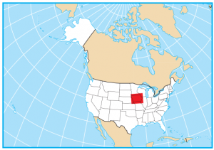
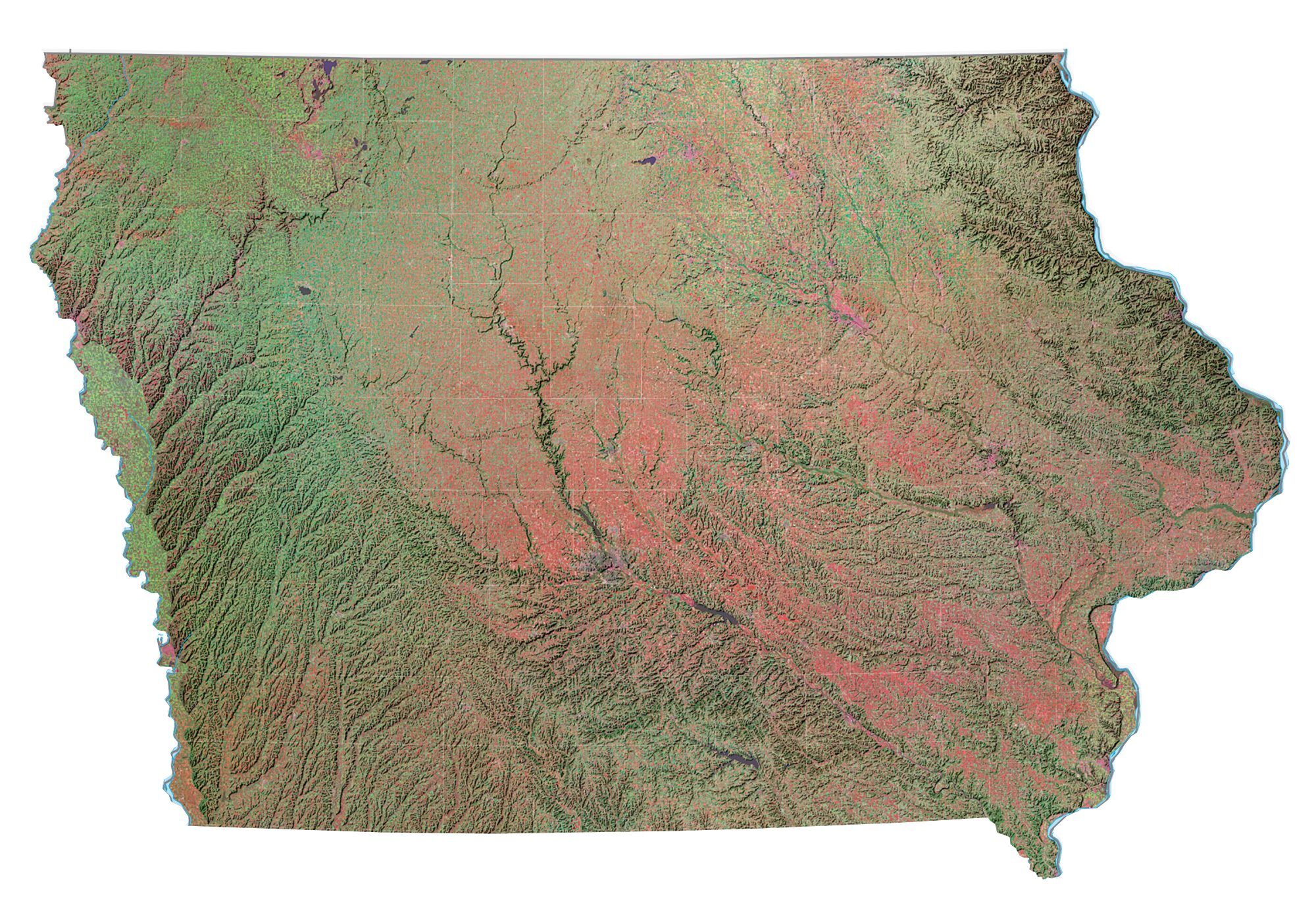
Most people think of Iowa as being flat and dull. But in reality, it has rolling hills and even steeper hills and valleys in the northern area. It borders South Dakota, Nebraska, Missouri, Illinois, Wisconsin, and Minnesota. This makes it part of the Midwestern United States.
Iowa map collection
You are free to use our map of Iowa for educational and commercial uses. Attribution is required. How to attribute?
State capital
Des Moines
Major cities and towns
Des Moines
Cedar Rapids
Davenport
Ames
Ankeny
Bettendorf
Cedar Falls
Clinton
Council Bluffs
Dubuque
Iowa City
Marshalltown
Mason City
Sioux City
Urbandale
Waterloo
West Des Moines
Burlington
Fort Dodge
Marion
Atlantic
Boone Carroll
Centerville
Chariton
Charles City
Cherokee
Clarinda
Creston
Decorah
Denison
Emmetsburg
Estherville
Fairfield
Fort Madison
Grinnell
Indianola
Iowa Falls
Knoxville
Le Mars
Maquoketa
Muscatine
Newton
Osceola
Oskaloosa
Ottumwa
Red Oak
Sheldon
Shenandoah
Spencer
Spirit Lake
Storm Lake
Washington
Waverly
Webster City
Keokuk
Mount Pleasant