ArcGIS Drone2Map: Streamline your Drone Imagery Collection
ArcGIS Drone2Map allows you to streamline your data collection with drones by providing a robust set of tools and automated workflows.
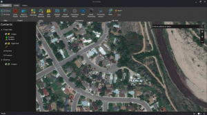
ArcGIS Drone2Map allows you to streamline your data collection with drones by providing a robust set of tools and automated workflows.
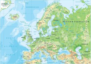
Europe is a mix of types of terrain. This Europe physical map displays its major mountain chains such as the Alps, Pyrenees, & Carpathians.
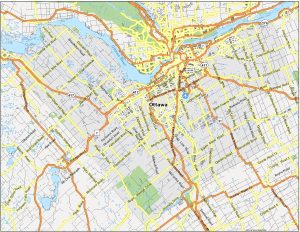
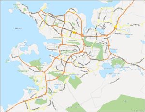
Our Ottawa map collection includes 3 printable maps and an interactive map. Each one allows you to explore the capital city of Canada.

QField is an open-source mobile data collection for Android, iOS, and macOS. You can build forms, with GPS positioning and camera integration.

Spatial data science is a subset of data science. It’s where data science intersects with GIS with a focus on new computing techniques like AI.
If you want to explore Reykjavik, this map shows the city’s attractions, neighborhoods, transportation options, and cultural landmarks.
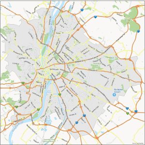
Budapest map – Known as the “Pearl of the Danube”, Budapest is a metropolis that blends a rich history and breathtaking architecture.
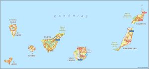
Download any of our maps featured in the Canary Islands collection. We show key information of this unique archipelago in the Atlantic Ocean.
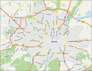
Are you looking for a map of Munich? You’re in luck because we’ve created a map collection of the third-largest city in Germany (Munich).
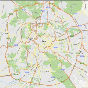
When in Rome… You’re going to need a good map to know where you’re going. That’s where our Rome map collection comes in handy.