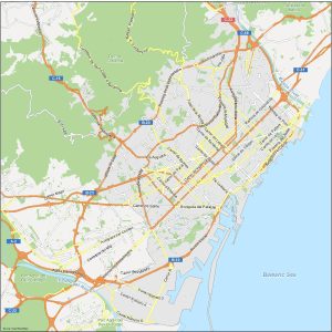
Map of Barcelona, Spain
We encourage you to download any of our Barcelona map collection so you can have them as a helpful guide when you roam around Barcelona.
We encourage you to download any of our Barcelona map collection so you can have them as a helpful guide when you roam around Barcelona.
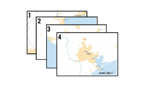
Like a modern-day mechanical mapping machine, you can automate your map output. We explain how to create mapbooks with this QGIS Atlas tutorial.

PyQGIS refers to the Python environment within QGIS. It allows users to automate workflow and extend QGIS with the use of Python libraries.
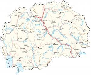
A map of North Macedonia that features its major cities, towns, lakes, rivers, roads, highways, mountains with satellite imagery and elevation.
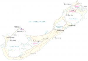
A map of Bermuda with satellite imagery containing settlements, seaports, bays, islands, points, harbors, and its international airport.
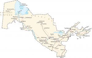
An Uzbekistan map with cities, highways, water, satellite imagery, and elevation. Uzbekistan is a dry, landlocked country in Central Asia.
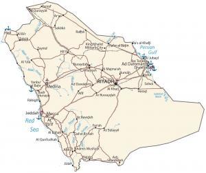
A map of Saudi Arabia with cities, highways, and water – Saudi Arabia is in the Arabian Peninsula, between the Red Sea and the Persian Gulf.
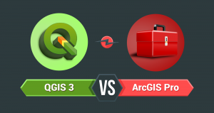
Buckle up. Because you’re going to witness a head-to-head battle between the juggernauts of GIS software. It’s a rematch. ArcGIS Pro vs QGIS 3
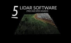
From viewers to desktop applications, these are the best and free LiDAR software tools for visualization, analysis, and conversion.

CityEngine is a stand-alone desktop application by Esri that allows users to create 3D data models for urban design and city planning.