35 Differences Between ArcGIS Pro and QGIS 3
Buckle up. Because you’re going to witness a head-to-head battle between the juggernauts of GIS software. It’s a rematch. ArcGIS Pro vs QGIS 3

Buckle up. Because you’re going to witness a head-to-head battle between the juggernauts of GIS software. It’s a rematch. ArcGIS Pro vs QGIS 3

CityEngine is a stand-alone desktop application by Esri that allows users to create 3D data models for urban design and city planning.
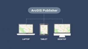
ArcGIS Publisher makes it easy to share digital versions of maps and data by publishing maps in PMF format that are accessible in ArcReader.
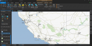
Are you thinking of switching to ArcGIS Pro? Whether it’s speed, slickness or simply raw power, here are 17 reasons to make the transition to ArcGIS Pro now
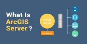
ArcGIS Server is a technology that enables anyone to publish web mapping services and consume them on the internet through a web browser.

ArcScene and ArcGlobe both specialize in 3D. However, ArcScene is for local scenes and ArcGlobe is for global. Find out more differences between 3D software.
ArcObjects is a library of Component Object Models (COM) to build UI components and stand-alone applications on top of the ArcGIS platform.
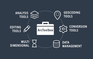
ArcToolbox is a collection of GIS tools for analyzing, editing and converting data. Each toolbox has a unique set of specialized tools for spatial analysis.
The best way to boost your capabilities in ArcGIS is through extensions and add-ons. And there is a massive, growing list even from 3rd party providers.
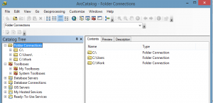
ArcCatalog is like a library for your GIS data. Like any good library, you can collect, store and manage your content. It’s where you write metadata too.