How to Download OpenStreetMap Data (OSM)
OpenStreetMap is like the Wikipedia of maps. As “open” is its key philosophy, this is true for OSM data. Learn to download OpenStreetMap data.

OpenStreetMap is like the Wikipedia of maps. As “open” is its key philosophy, this is true for OSM data. Learn to download OpenStreetMap data.

Esri’s tapestry segmentation data provides insights on lifestyle choices made by customers helping you make more informative business decisions.
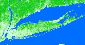
Over the span of your life, how much has the Earth changed? Quite a bit, but you probably just can’t put a number to it. You actually CAN with land cover.
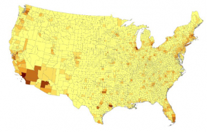
TerraPop delivers internationally comparable environment and demographic data at a global scale – this includes raster, area-level and micro-data.

TIGER GIS data has transformed the GIS environment because it was the first nationwide digital map. It stimulated projects like MapQuest, Yahoo & Google.

Turbo-charge your search for free GIS data with this list of 10 free, downloadable global GIS datasets from highly reputable sources – vector and raster.
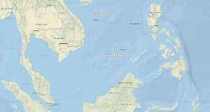
Natural Earth data is a free raster and vector (cultural and physical) data package containing the most common elements that you need to create a map.
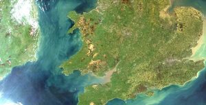
The USGS Earth Explorer is quick and easy to download free Landsat imagery & other remote sensing data. Enter ROI, define timeline and download for free.
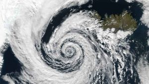
Some of the best GIS weather data available can be found at NWS, PRISM, MADIS and Weather Source. This GIS weather data dates back from past to present.