How to Download OpenStreetMap Data (OSM)
What is OpenStreetMap (OSM)?
OpenStreetMap is like the Wikipedia of maps. It’s the largest community of mappers in the world who constantly edit the geography of our changing planet.
See, the problem with Google Maps data is that it’s proprietary and extremely difficult to obtain. And often other types of detailed data come at great costs.
So we needed something open for the world to edit. And that solution is OpenStreetMap which motivated contributors to edit this “open map” daily.
As “open” is the key philosophy to OpenStreetMap, this is also true for data being “open”. So here are instructions on how you can download OSM data (of course at no cost).
READ MORE: 10 Free GIS Data Sources: Best Global Raster and Vector Datasets
How to Download OpenStreetMap Data?
OpenStreetMap is the data set you need that you didn’t know existed for public consumption. It has some of the most detailed information on our planet and is always updated by people like you and me.
Turns out, that there are several ways to download OpenStreetMap data. Conveniently, there’s even an OSM Data Wikipedia page with all the available OSM extracts.
My suggestion is Geofabrik because it’s organized by continent, country, and then province or state. Simply, navigate to your geographic area of choice and download OSM data.
And I also prefer downloading OSM data as shapefiles. This way, you can open it in QGIS or ArcGIS… or any GIS software.
What types of features are in OSM Data?
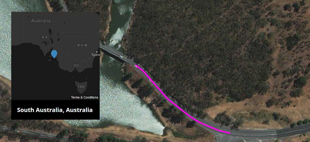
After you download OpenStreetMap data, its format is in points, polylines, and polygons. For polylines, there are roads, railways, and waterways. Most importantly, it often has the name of the motorway, railway, or river. If the water feature is large enough, there is a polygon shapefile on its own.
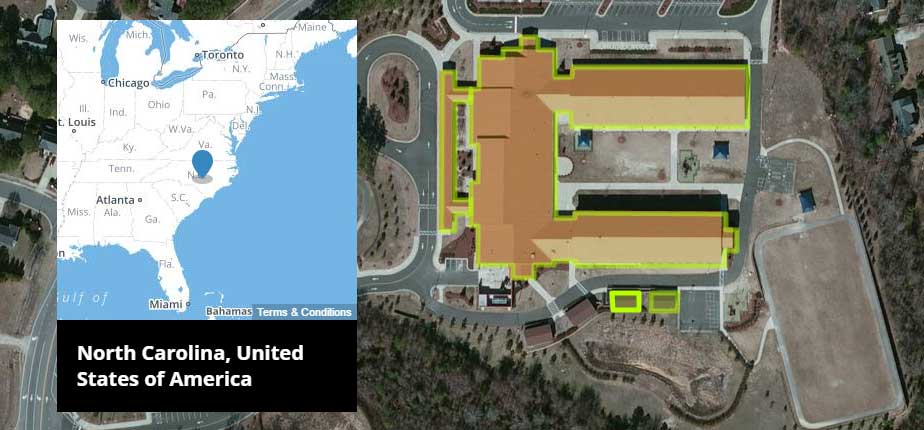
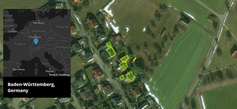
Building footprints are notably impressive. For example, the OSM community has digitized close to 2 million features for infrastructure footprints in the state of New York. Each one may or may not have a building name and land type (commercial, industrial, education, etc).
Here’s a summary of OpenStreetMap data types:
- Natural and land use features like beaches, forests, and farms.
- Places of interest like restaurants, hotels, police stations, churches, and museums.
- Transportation features like bus stops, traffic signals, and stop signs.
- Populated places like cities, towns, villages, and localities.
Impressive to say the least, and much more you can extract compared to global land cover.
Why are there pockets for OSM data coverage?
Sometime, somewhere… You probably grew up in a community of some sort… and you know it like the back of your hand. If there were any local diners, dental offices, or parks, you knew exactly where the best ones were.

So in OpenStreetMap, you map these places out. And you tell your friends, who add even more detail for that same area.
But you can see how OpenStreetMap can get an uneven level of coverage. While some parts of the globe have unprecedented detail, some are bare-bones empty.
This is why OSM often organizes “mapathons” to trace areas out in your locale. So despite its enormous and active community, we see large pockets of data in some locations more than others.
OpenStreetMap for Humanitarian Crisis
After the 2010 earthquake disaster in Haiti, there was an incredible rush in volunteer mapping. For these relief efforts, people harnessed the power of crowdsourcing in OpenStreetMap. As a result, there are often extremely detailed maps in disaster-stricken areas.
For example, this is especially true for humanitarian efforts in Haiti, Nepal, and Congo. There’s a whole separate Humanitarian OpenStreetMap Team (HOT) to respond and adapt to these special circumstances. And for other humanitarian crises that occur like ebola, earthquakes, and typhoons – OpenStreetMap is the default map.
While OSM is open to the public, coverage varies from place to place. Overall, people like you and I are working on completeness every day.
OpenStreetMap in 3D
The growing trend is to see our world in 3D. For example, Google Earth has revolutionized how we view and interact with our world. And this is all packaged in a modern web interface.
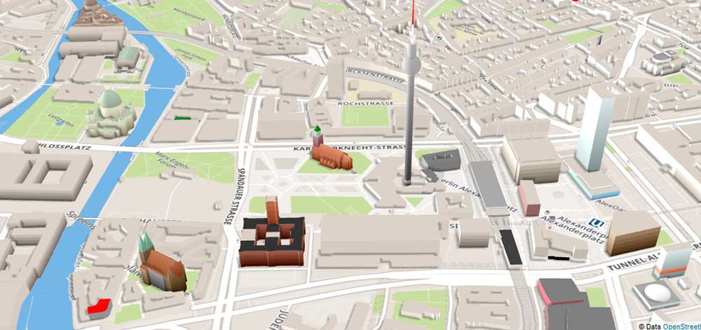
And it’s really no different for OpenStreetMap. The goal of OpenStreetMap 3D is to provide an interactive 3D web interface with OSM data.
They often render buildings as polyhedra, extruded footprints with flat roofs using the SRTM DEM for base height. But there are 3D interfaces that also construct building geometry to account for gables, overhangs, and towers.


Je prépare une thèse sur le territoire de Guelma Algerie.
I need updates on QGIS
I have gained a lot through this
A small error – Geofabric is Geofabrik (in German, “Fabrik” means factory, not cloth ;)
Thanks, I updated it :)
Hi thanks for sharing OpenStreetMap, however please mention that its mandatory to credit OpenStreetMap Contributors and the derivated works must be shared in the same license (ODbL).
As writen on https://www.openstreetmap.org/copyright
OpenStreetMap® is open data, licensed under the Open Data Commons Open Database License (ODbL) by the OpenStreetMap Foundation (OSMF).
You are free to copy, distribute, transmit and adapt our data, as long as you credit OpenStreetMap and its contributors. If you alter or build upon our data, you may distribute the result only under the same licence.