Map of the United States of America
This map of the United States of America displays cities, highways, rivers and lakes. It includes the 50 states of America and capital of Washington, DC.
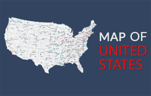
This map of the United States of America displays cities, highways, rivers and lakes. It includes the 50 states of America and capital of Washington, DC.
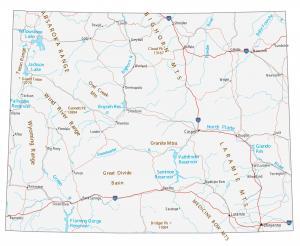
This Wyoming map contains cities, roads, rivers and lakes. Casper, Laramie and Cheyenne are some of the major cities in this map of Wyoming.
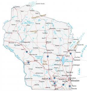
This Wisconsin map contains cities, roads, rivers and lakes. Green Bay, Milwaukee and Madison are major cities shown in this map of Wisconsin.
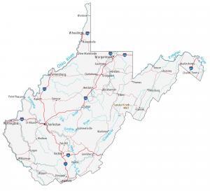
This West Virginia map contains cities, roads, rivers and lakes. Charleston, Morgantown and Parkersburg are the major cities in this map of West Virginia.
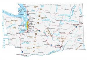
This Washington map contains cities, roads, rivers and lakes. Seattle, Spokane and Tacoma are major cities shown in this map of Washington.
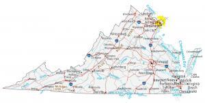
This Virginia map contains cities, roads, rivers and lakes. Virginia Beach, Norfolk and Chesapeake are major cities shown in this map of Virginia.
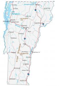
This Vermont map contains cities, roads, rivers and lakes. Burlington, South Burlington and Essex are some of the major cities shown in this map of Vermont.
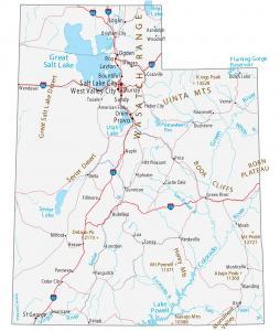
This Utah map contains cities, roads, rivers and lakes. Salt Lake City, West Valley City and Provo are some of the major cities shown in this map of Utah.
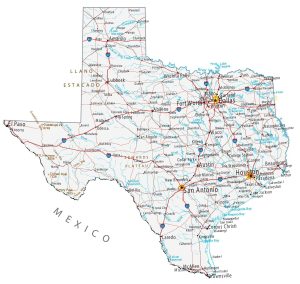
This Texas map contains cities, roads, rivers and lakes. For example, Houston, San Antonio and Dallas are major cities shown in this map of Texas.
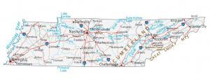
This Tennessee map contains cities, roads, rivers and lakes. For example, Nashville, Memphis and Knoxville are major cities in this map of Tennessee.