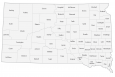
South Dakota County Map

About the map
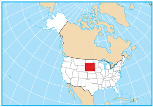
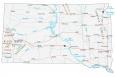
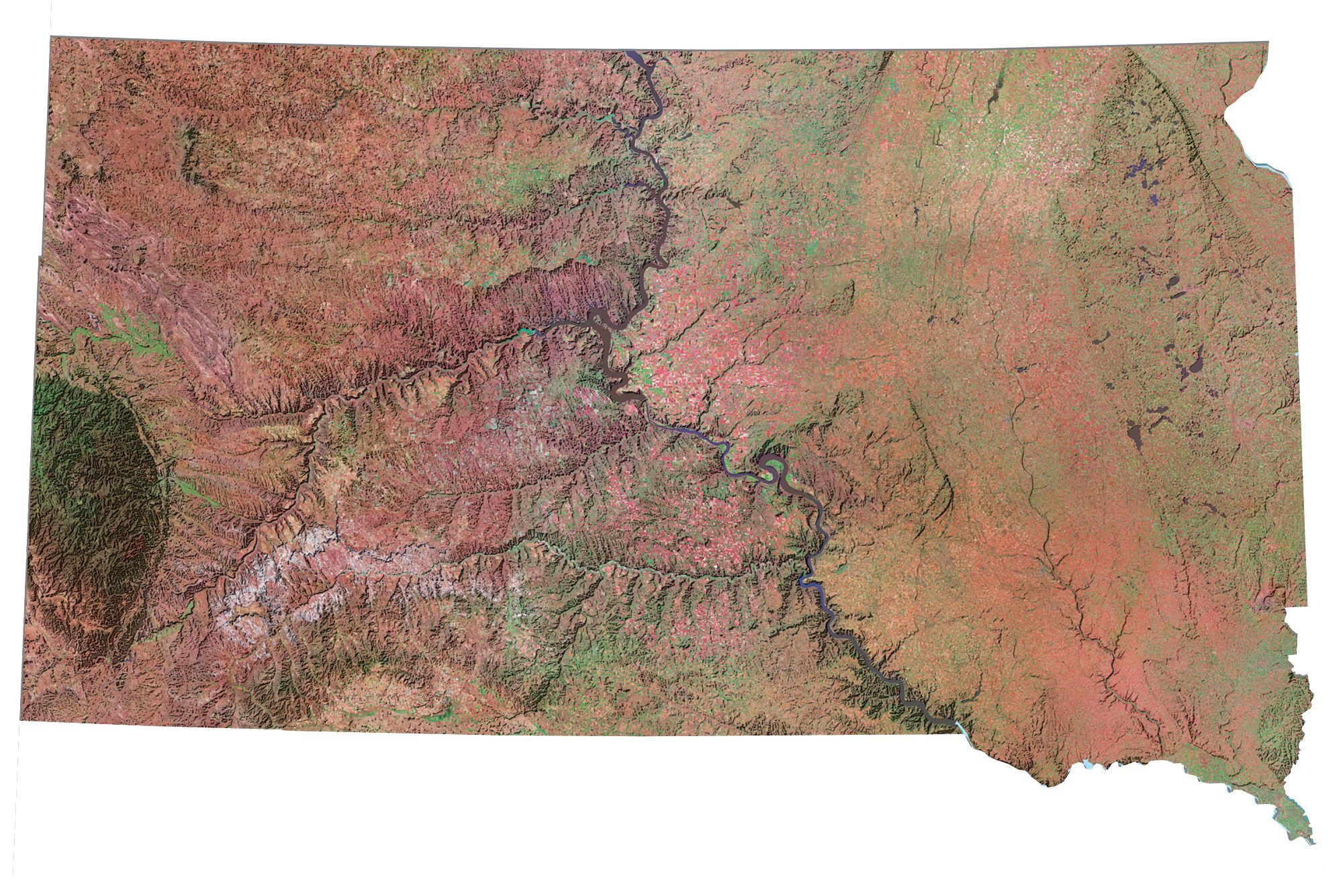
This South Dakota county map displays its 66 counties. The Missouri River cuts through South Dakota, and it’s this river that delineates several county boundaries separating South Dakota into western and eastern portions. South Dakota borders North Dakota, Nebraska, Minnesota, Iowa, Wyoming, and Montana.
For size, the largest county in South Dakota is Meade County, occupying an area of close to 3500 square miles. Conversely, the smallest county is Clay County which is just 417 square miles in size.
The most populous county in South Dakota is Minnehaha County. Minnehaha County has close to 200,000 residents and is home to South Dakota’s largest city, Sioux Falls. Jones County has the lowest population with less than 1000 people. In fact, its tally of residents is so low that it’s in the bottom 50 for the lowest population in the United States.
You are free to use our county map of South Dakota for educational and commercial uses. Attribution is required. How to attribute?
South Dakota County List
| FIPS Code | Name | Land (sq mi) | Water (sq mi) | Population (2024) |
|---|---|---|---|---|
| 46-003 | Aurora County | 708.5 | 4.3 | 2,752 |
| 46-005 | Beadle County | 1258.7 | 6.1 | 19,459 |
| 46-007 | Bennett County | 1184.6 | 5.8 | 3,289 |
| 46-009 | Bon Homme County | 563.5 | 18.1 | 7,071 |
| 46-011 | Brookings County | 792.2 | 12.7 | 36,359 |
| 46-013 | Brown County | 1713.0 | 17.9 | 37,495 |
| 46-015 | Brule County | 817.2 | 29.2 | 5,261 |
| 46-017 | Buffalo County | 471.4 | 16.4 | 1,825 |
| 46-019 | Butte County | 2250.0 | 16.5 | 10,891 |
| 46-021 | Campbell County | 733.7 | 37.2 | 1,342 |
| 46-023 | Charles Mix County | 1097.5 | 52.7 | 9,343 |
| 46-025 | Clark County | 957.6 | 9.9 | 3,974 |
| 46-027 | Clay County | 412.0 | 5.4 | 15,245 |
| 46-029 | Codington County | 687.6 | 29.6 | 29,278 |
| 46-031 | Corson County | 2469.7 | 60.0 | 3,747 |
| 46-033 | Custer County | 1556.9 | 2.1 | 9,330 |
| 46-035 | Davison County | 435.6 | 1.3 | 19,907 |
| 46-037 | Day County | 1028.5 | 62.6 | 5,408 |
| 46-039 | Deuel County | 622.7 | 13.9 | 4,335 |
| 46-041 | Dewey County | 2302.5 | 142.8 | 5,322 |
| 46-043 | Douglas County | 431.8 | 1.9 | 2,849 |
| 46-045 | Edmunds County | 1126.0 | 25.1 | 4,027 |
| 46-047 | Fall River County | 1739.9 | 9.3 | 7,359 |
| 46-049 | Faulk County | 981.7 | 24.2 | 2,136 |
| 46-051 | Grant County | 681.4 | 6.1 | 7,618 |
| 46-053 | Gregory County | 1014.9 | 38.6 | 4,110 |
| 46-055 | Haakon County | 1810.5 | 16.4 | 1,834 |
| 46-057 | Hamlin County | 507.2 | 30.8 | 6,596 |
| 46-059 | Hand County | 1436.6 | 3.6 | 3,097 |
| 46-061 | Hanson County | 434.6 | 0.8 | 3,477 |
| 46-063 | Harding County | 2671.6 | 6.5 | 1,325 |
| 46-065 | Hughes County | 741.5 | 59.2 | 17,526 |
| 46-067 | Hutchinson County | 813.0 | 1.4 | 7,416 |
| 46-069 | Hyde County | 860.6 | 5.6 | 1,215 |
| 46-071 | Jackson County | 1863.9 | 7.4 | 2,737 |
| 46-073 | Jerauld County | 526.1 | 6.5 | 1,689 |
| 46-075 | Jones County | 969.7 | 1.2 | 874 |
| 46-077 | Kingsbury County | 832.2 | 31.5 | 5,261 |
| 46-079 | Lake County | 562.9 | 12.3 | 11,006 |
| 46-081 | Lawrence County | 800.0 | 0.3 | 28,809 |
| 46-083 | Lincoln County | 577.3 | 0.5 | 75,244 |
| 46-085 | Lyman County | 1642.1 | 64.7 | 3,721 |
| 46-087 | McCook County | 574.2 | 2.7 | 5,771 |
| 46-089 | McPherson County | 1136.6 | 14.9 | 2,307 |
| 46-091 | Marshall County | 838.1 | 48.1 | 4,395 |
| 46-093 | Meade County | 3470.9 | 11.9 | 30,918 |
| 46-095 | Mellette County | 1307.3 | 3.6 | 1,834 |
| 46-097 | Miner County | 570.2 | 1.8 | 2,303 |
| 46-099 | Minnehaha County | 806.8 | 7.0 | 208,639 |
| 46-101 | Moody County | 519.4 | 1.4 | 6,529 |
| 46-102 | Oglala Lakota County | 2093.6 | 2.8 | 13,360 |
| 46-103 | Pennington County | 2776.8 | 7.7 | 115,979 |
| 46-105 | Perkins County | 2870.5 | 19.5 | 2,832 |
| 46-107 | Potter County | 861.1 | 37.5 | 2,402 |
| 46-109 | Roberts County | 1101.0 | 34.7 | 10,283 |
| 46-111 | Sanborn County | 569.2 | 1.2 | 2,392 |
| 46-115 | Spink County | 1503.5 | 6.2 | 6,108 |
| 46-117 | Stanley County | 1444.4 | 72.7 | 3,015 |
| 46-119 | Sully County | 1006.7 | 63.5 | 1,468 |
| 46-121 | Todd County | 1388.6 | 2.3 | 9,172 |
| 46-123 | Tripp County | 1612.5 | 5.1 | 5,717 |
| 46-125 | Turner County | 617.1 | 0.6 | 9,087 |
| 46-127 | Union County | 460.7 | 6.4 | 17,402 |
| 46-129 | Walworth County | 708.6 | 36.0 | 5,270 |
| 46-135 | Yankton County | 521.2 | 11.1 | 23,509 |
| 46-137 | Ziebach County | 1961.2 | 9.3 | 2,418 |
I realized after writing the first comment that it is updated in the description segment but the map still labels it as Shannon. I’m guessing some people will still call it Shannon and it really doesn’t matter so if nothing changes because of this I’m ok with that. Really I’m just bored and I think its fun to leave comments on random things like this. Hope you have a good day whoever is reading this
Shannon county changed its name to Oglala Lakota County in May of 2015.