Google Earth Alternatives

What Is Google Earth?
Google Earth has long been the go-to for virtual globetrotters. Nothing beats Google Earth for its historical imagery, 3D features, and exploration.
To say the least. There is no “true” replacement for Google Earth. But here are a couple of options that can give it a run for its money.
READ MORE: Google Earth vs Google Maps
1. ArcGIS Earth

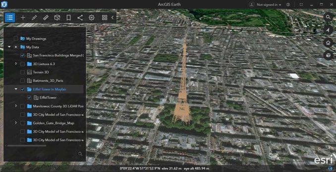
ArcGIS Earth is a standalone program that you download, similar to Google Earth. It’s in the form of a desktop or mobile app. With its 3D cityscapes, it opens up a world of possibilities for anyone.
Data layers are key in ArcGIS Earth. You have access to the entire ArcGIS Online library of thousands of public datasets. Plus, you can import formats such as KML, KMZ, and web services.
Without the steep learning curve, it allows for personal exploration. It provides 3D tools like line of sight, viewsheds, and elevation profiles. While it integrates seamlessly with other Esri tools, it makes it a breeze to share maps and data.
2. Esri Wayback Viewer

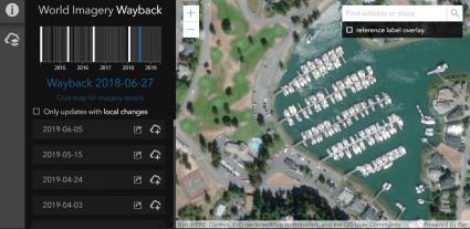
The Esri Wayback Viewer lets you step back in time to see how maps of the world have changed. You can pick a place and see what it looked like at different times.
With the Wayback Viewer, it’s like a time machine for maps. Just compare old maps with new ones side by side. This shows you directly how things have changed.
Esri updates it with new images regularly. This means you can keep checking back to see the latest changes from around the world. So, if you’re curious about how your hometown has changed, the Wayback Viewer is perfect.
3. NASA WorldWind

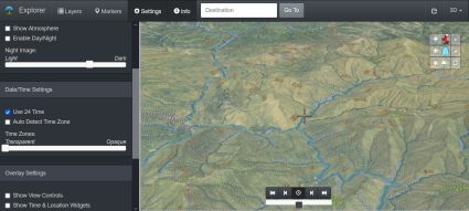
NASA WorldWind Explorer provides a viewer using satellite images and data from NASA. It’s all 3D. You can see it all – mountains, valleys, and oceans. This makes it feel like you’re actually there.
The options for basemaps are unique. For example, you’ll find layers like OSM, Bing, Sentinel-2, USGS, and Blue Marble. It’s also possible to add your own web services.
Powered by WorldWindJS, there are options to add markers, show timezones, or change to day or night. One neat thing about WorldWind is that it’s open-source. This means anyone can use it or change it to make new tools.
Google Earth Alternatives
In short, there’s more to digital mapping than just Google Earth. Tools like ArcGIS Earth, Esri’s Wayback Viewer, and NASA WorldWind let us see the world in new ways.
These alternatives open up new possibilities for learning and adventure. So, if you love exploring, these Google Earth alternatives let you see the world from different angles.
Now, we’d like to turn it over to you. What do you use for your 3D map viewer? Please let us know in the comment section below.


What about Marble!?
https://marble.kde.org/