ArcGIS Velocity: Real-Time Analytics in GIS

What is ArcGIS Velocity?
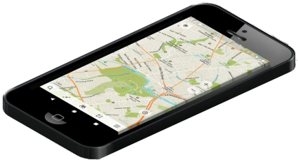
ArcGIS Velocity is a cloud platform for scalable, real-time, and big data analytics. Everything is enabled through ArcGIS Online.
Due to the rapid increase in connected devices and sensors through the Internet of Things, more sensors are being purchased at a lower cost.
From all these recordings from our surrounding environment, ArcGIS Velocity can perform a variety of actions based on sensor observations and all within the cloud.
Let’s explore the use cases and the key components of ArcGIS Velocity and whether or not you can incorporate it as part of your business needs and workflow.
ArcGIS Velocity Key Components
Basically, there are three main components for how to set up ArcGIS Velocity and start analyzing data in real time.

Step 1. Ingest Data
First, you will have to create a feed to consume real-time data streams. For instance, you can connect directly to IoT systems like the following:
There are a variety of ways you can connect to the data stream and configure it.
Step 2. Process Data in Real-time
Once you connect to a real-time data feed, your map will start to light up with each connection. From here, you can simply view your data, send alerts, and much more. But the core functionality is in the big data analytics capabilities from ArcGIS Velocity.
Step 3. Analyze Data
Now that you have connected and are visualizing data in real time, it’s time to start analyzing the massive amounts of observation data over time. This process is about revealing patterns for future insight and even incorporating other types of data like traffic and weather.
Plus, you can build workflows that set triggers such as notifying the nearest employees as a result of an outage. These workflows can be run on a schedule or continuously.
Sectors with sensor data
Various sectors are already leveraging real-time sensor data for purposes such as data analytics, improving efficiency, and sending alerts. Whether it’s for safety or optimization, here are some examples of use cases of real-time sensor data.
AGRICULTURE: In the agricultural sector, sensors are used to help farmers optimize the use of their land and inputs by monitoring soil conditions, weather, and increasing yield.
BUSINESS: Businesses equip sensors on fleet vehicles for safety and to gain insights on movement analytics for better management and optimization.
ENERGY: Utilities rely on sensors to monitor the electrical grid that can use real-time data to respond more quickly to changes in power consumption and outages.
MANUFACTURING: Smart factory systems collect data on the performance of machines, analyze it in real time, and send alerts to address issues before they cause breakdowns.
TRANSPORTATION: There are roadway sensor deployments for connected cars to optimize assets while leveraging weather information for areas at risk to improve safety.
Although we’ve named just a couple of use cases, the list goes on how different sectors are incorporating sensor data into their daily workflows.
ArcGIS Velocity: Real-Time Analytics in GIS
Real-time sensor data is critical for all of these industries, and the Internet of Things is making it possible for enterprises to collect data automatically and act on it instantly.
IoT has opened a new frontier in data generation, and businesses can benefit significantly by analyzing the data generated by these devices and sensors through geoanalytics.
Roughly 80% of sensor data has a geographic component so it’s at the intersection of geographic data and real-time information where ArcGIS Velocity becomes a valuable asset for any industry.
Do you use real-time data analytics? Have you ever used ArcGIS Velocity to reveal insights on sensor feeds? Please let us know with a comment below.


