R Programming in GIS
R programming is a free, open-source language for statistical computing and visualization including analysis, data mining, and graphing.

R programming is a free, open-source language for statistical computing and visualization including analysis, data mining, and graphing.
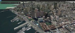
This beginner’s guide to ArcGIS Earth will help you navigate through the program and get started on your path to exploring the globe.
Whether you are a new or experienced user, the Esri User Conference is the world’s largest GIS conference with over 15,000 people attending.
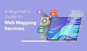
A web mapping service (WMS) consists of geospatial data hosted on a GIS server with standards set by the Open Geospatial Consortium (OGC).
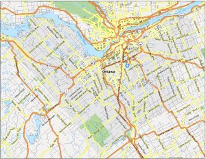
Our Ottawa map collection includes 3 printable maps and an interactive map. Each one allows you to explore the capital city of Canada.
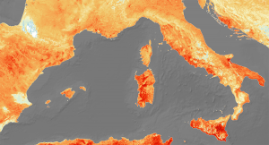
The ArcGIS Heat map tool is the Kernel Density tool, which calculates a magnitude per area from point or polylines using a kernel function.
The Web Mercator projection uses a modified version of the Mercator projection and has become a default map projection for web mapping.
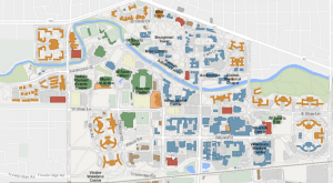
ArcGIS Indoors is a complete indoor mapping solution for smart building management, planning indoor space, and monitoring facility operations.
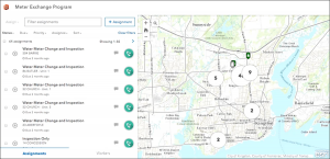
ArcGIS Workforce is designed to simplify fieldwork by allowing users to dispatch work to mobile field workers and then assign them tasks.
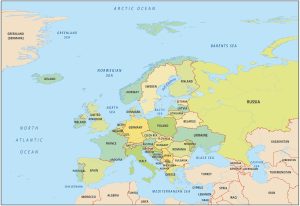
This Europe country map will help you learn more about the continent’s geography with country boundaries and labels within the continent.