Map of Newfoundland and Labrador
A map of Newfoundland and Labrador displays highways, cities, and populated places for the province in the Atlantic region of Canada.
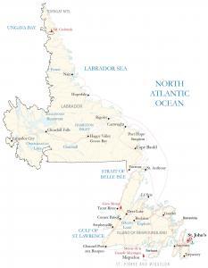
A map of Newfoundland and Labrador displays highways, cities, and populated places for the province in the Atlantic region of Canada.
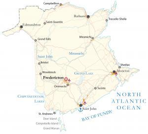
This New Brunswick map shows highways, roads, and cities. It includes the capital city of Fredericton and the most populous city of Moncton.
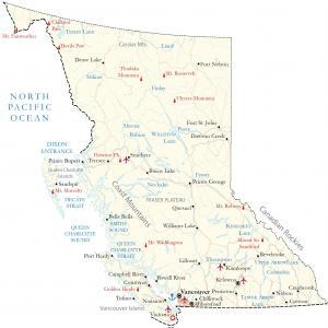
This British Columbia map (BC map) displays major cities, highways, lakes, and rivers – including satellite imagery, elevation, and peaks.
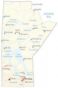
A map of Manitoba contains roads, rivers and lakes, and cities. For example, it displays the capital city of Winnipeg, Brandon, and Thompson.
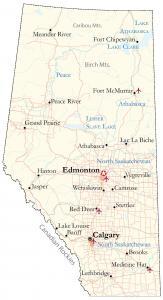
This map of Alberta shows cities, highways, lakes, rivers, and satellite imagery – Alberta is known for its oil, gas and cattle ranching.

Buckle up. Because you’re going to witness a head-to-head battle between the juggernauts of GIS software. It’s a rematch. ArcGIS Pro vs QGIS 3
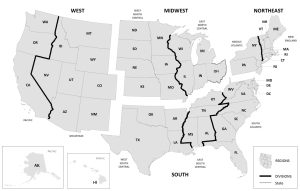
This US Regions map displays the four regions and nine divisions from the US Census Bureau including the Northeast, Midwest, South, and West.
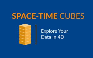
Space-time cubes show how phenomena change over time within geographic space. In a space-time cube, each cube represents a slice of time.
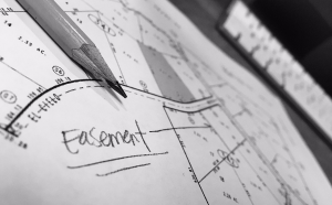
COGO (Coordinate Geometry) is a tool that maps the geometry from survey plans for land parcels, road allowances, and property easements.
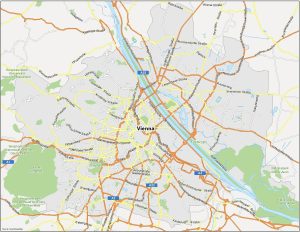
Vienna, the capital city of Austria, is a cultural, historical, and artistic hub in the heart of Europe. Learn more in this Austria map.