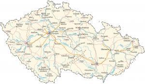
Map of Czech Republic (Czechia)
A map of Czech Republic with cities, roads and water – Czech Republic is in central Europe, between Germany, Poland, Slovakia, and Austria.
A map of Czech Republic with cities, roads and water – Czech Republic is in central Europe, between Germany, Poland, Slovakia, and Austria.
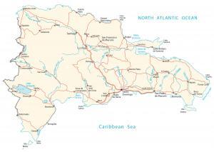
A Dominican Republic map with major cities, roads and water – it’s an island located in the Caribbean (North Atlantic Ocean), east of Haiti.
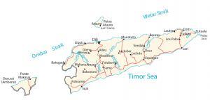
An East Timor map containing cities, roads and waterways – East Timor is in southeastern Asia in the eastern end of the Indonesian archipelago
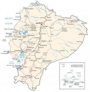
An Ecuador map containing major cities, transportation and hydrography – Ecuador is in western South America, along the Pacific Ocean.
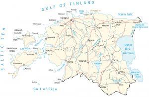
A map of Estonia featuring populated places, transportation and water – Estonia is located in eastern Europe between Latvia and Russia.
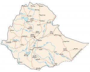
An Ethiopia map containing major cities, transportation and hydrography – Ethiopia is located in Eastern Africa, west of Somalia.
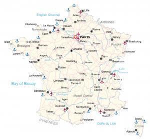
A map of France with cities, roads and water features – France is in western Europe, bordering the English Channel, between Belgium and Spain.
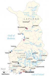
A Finland map featuring major cities, roads and water bodies – Finland is in Northern Europe, along the Baltic Sea, next to Sweden and Russia.
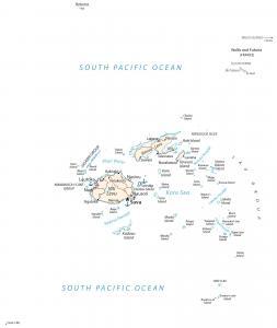
A Fiji map with major cities and islands – Fiji is a group of islands in Oceania in the South Pacific Ocean near New Zealand and Australia.
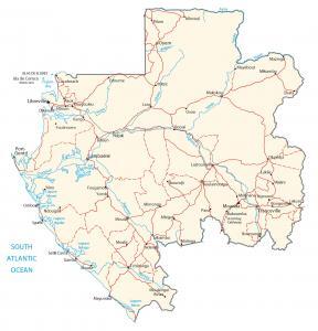
A Gabon map containing major cities, transportation and hydrography – Gabon is in central Africa, bordering the Atlantic Ocean at the Equator.