SRTM Shuttle Radar Topography Mission
During an 11-day mission, Space Shuttle Radar Topography (SRTM) mission captured Earth’s elevation at 1 arc-second (30 meters) for over 80% of the Earth.

During an 11-day mission, Space Shuttle Radar Topography (SRTM) mission captured Earth’s elevation at 1 arc-second (30 meters) for over 80% of the Earth.
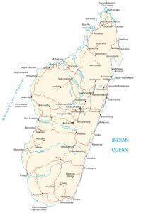
A Madagascar map with cities, transportation and water – Madgascar is an island in Southern Africa, in the Indian Ocean, east of Mozambique.
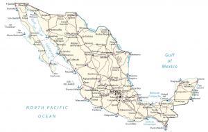
A map of Mexico featuring cities, roads and water – Mexico is in North America, bordering the Pacific Ocean, Belize and the United States.
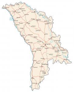
A Moldova map containing major cities, transportation and hydrography – Moldova is in eastern Europe, northeast of Romania, west of Ukraine.
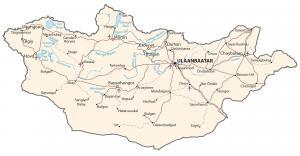
A Mongolia map containing major cities, transportation and water features – Mongolia is in northern Asia, situated between China and Russia.
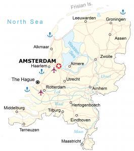
A map of Netherlands containing cities, transportation and water features – Netherlands is in western Europe next to Belgium and Germany.
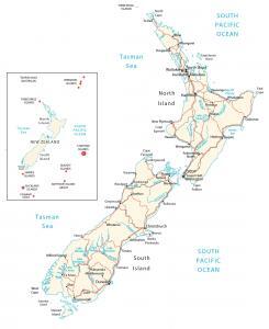
A map of New Zealand with cities, roads and water – New Zealand is an island in Oceania in the South Pacific Ocean, southeast of Australia.
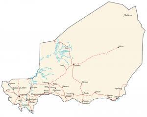
A map of Niger, Africa highlighting major cities, transportation and hydrography. Niger is located in Western Africa, southeast of Algeria.
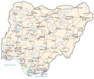
A Nigeria map containing cities, roads and water – Nigeria is located in western Africa, bordering the Gulf of Guinea, Benin and Cameroon.
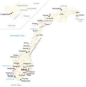
A map of Norway showing cities, roads and water – Norway is in northern Europe, along the North Sea, the North Atlantic Ocean, west of Sweden.