Malawi Map – Cities and Roads
A map of Malawi with cities, lakes, rivers, roads, and imagery. Malawi is located in southeast Africa next to Zambia, Tanzania, and Mozambique.
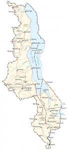
A map of Malawi with cities, lakes, rivers, roads, and imagery. Malawi is located in southeast Africa next to Zambia, Tanzania, and Mozambique.
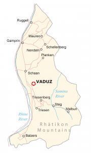
This map of Liechtenstein displays municipalities, villages, rivers, and imagery – a small European country between Switzerland and Austria.
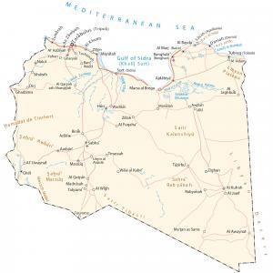
A map of Libya with cities, roads, water features, mountains, satellite imagery, and elevation. Libya is an African country in Northern Africa.
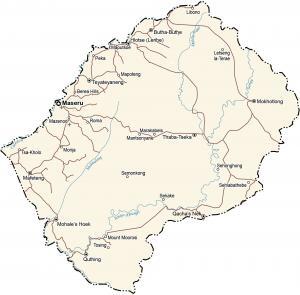
A Lesotho map with populated places, roads, water, mountains, imagery, and elevation. Lesotho is an African country within South Africa.
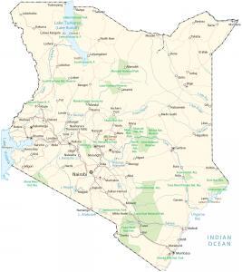
A map of Kenya with cities, towns, roads, lakes, rivers, and imagery – Kenya is an African country located in the east along the Indian Ocean.
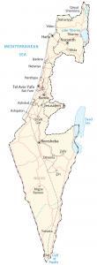
This Israel map shows cities, towns, highways, imagery, and elevation. Israel is a Middle Eastern country on the Mediterranean Sea and the Red Sea.
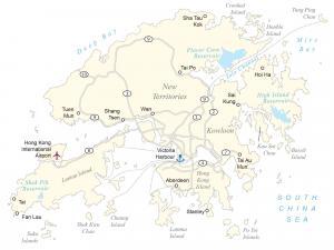
A Hong Kong map with populated places, roads, islands, districts, and elevation – surrounded by China to the north, near Macau to the west.
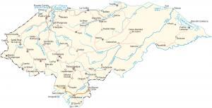
This Honduras map contains places, highways, imagery, and elevation – located in Central America in the Caribbean Sea and the Pacific Ocean.
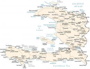
A map of Haiti with cities, towns, roads, imagery, and elevation. Haiti is located in the Caribbean next to the Dominican Republic to the east.
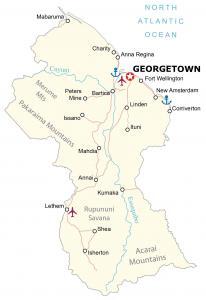
A Guyana map with cities, towns, highways, satellite imagery, and elevation. Guyana is located on the northeast coast of South America.