Brunei Map and Satellite Image
This Brunei map contains cities, towns, rivers, and highways of the small country in Borneo. Also, it includes an elevation map and satellite imagery of the country in Southeastern Asia.
Brunei map collection
You are free to use our Brunei map for educational and commercial uses. Attribution is required. How to attribute?
About the map
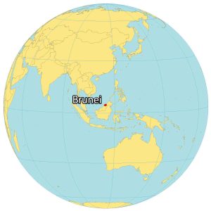
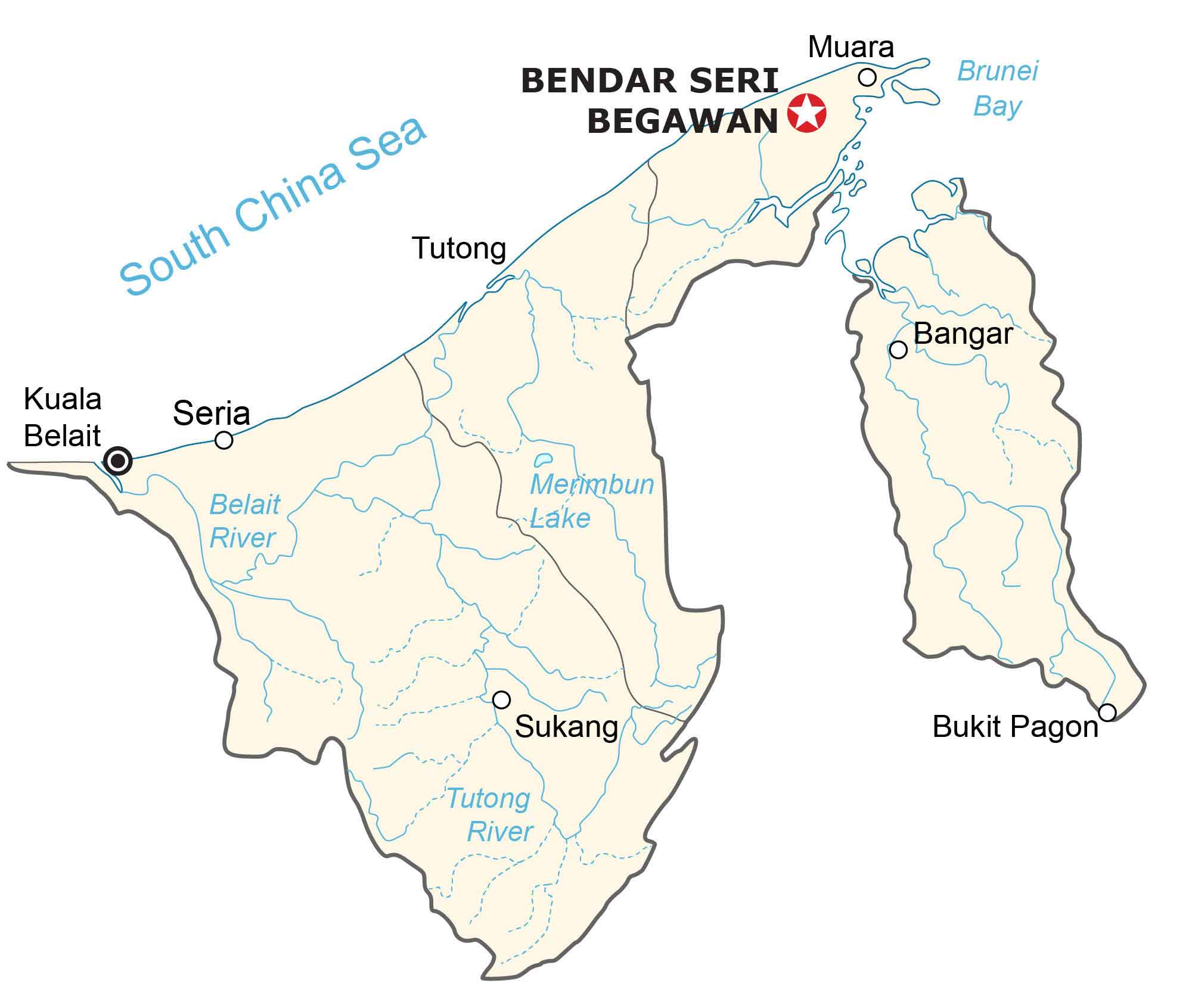
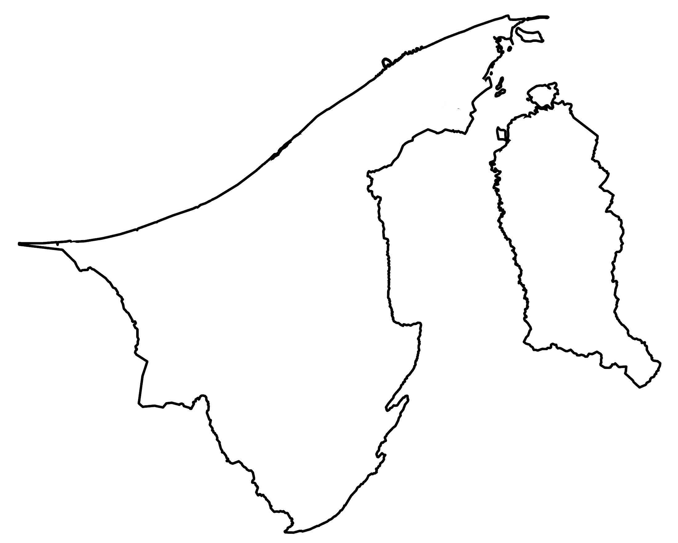
Brunei (Brunei Darussalam) is a small country on the island of Borneo, surrounded by Malaysia. It also shares a coastline with the South China Sea to the north for about 161 kilometers (100 mi).
Brunei is split into two non-contiguous sections. First, the western section is more populated and comprises three districts. This includes the Belait, Tutong, and Brunei-Muara districts.
Despite having the smallest area, the Brunei-Muara District is the most populous with approximately 70% of people living there. It also contains Brunei’s capital city Bandar Seri Begawan, in the northeast region. Finally, the eastern section of Brunei is the Temburong District.
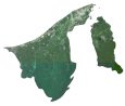
SATELLITE IMAGERY
Brunei Satellite Map
Brunei occupies a small area in Asia at about 5,765 square kilometers (2,226 sq mi), which makes it even smaller than the state of Delaware. According to the FAO, forests cover over 50% of Brunei. Its longest rivers are Tutong, Belait, and the Temburong River.

Its largest natural lake is Merimbun Lake, also known for being a wildlife sanctuary for flora and fauna. Overall, Brunei has a tropical, humid, and rainy climate.
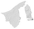
PHYSICAL MAP
Brunei Elevation Map
The terrain in Brunei is mostly flat with regions of hills. Then, it transitions to mountains further to the east, especially in the Temburong District. This region holds Brunei’s highest peak, Pagon Hill. At 1,850 m (6,070 ft), it straddles the Malaysian border along the southern tip of Brunei.

Capital City
Bandar Seri Begawan
Populated places
Kuala Belait
Seria
Tutong
Muara
Muara
Bangar
Bukit Pagon
Sukang
Water features
South China Sea
Brunei Bay
Belait River
Merimbun Lake
Tutong River


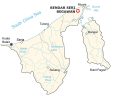
Your Brunei map makes it look like a small island.
I guess that’s one of the issues when I don’t include the neighboring countries. But there are some who still prefer this type of map.