AI Maps: Is This Our Future?
Are AI maps inevitable in GIS? AI and its impacts on the GIS industry are overblown. We explore how AI will penetrate our industry.

Are AI maps inevitable in GIS? AI and its impacts on the GIS industry are overblown. We explore how AI will penetrate our industry.

This article will highlight our 15 favorite editing tools in ArcGIS Pro. It will showcase their functionality and how to digitize GIS data.
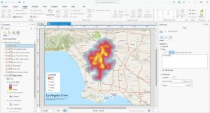
This tutorial includes a video and step-by-step instructions so you can follow along exactly how we grapple with map legends in ArcGIS Pro.
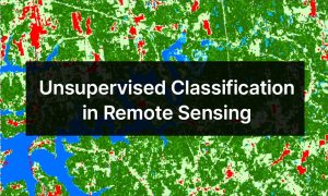
Unsupervised classification is a technique in remote sensing that clusters pixels within a satellite or aerial image into distinct classes.
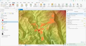
Viewshed analysis is a 3D technique that enables us to visualize and assess what is visible from a specific vantage point within a landscape.
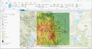
Line of Sight analysis is a geospatial technique that allows us to assess the unobstructed view between two points within a given landscape.
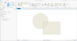
Finding self-overlaps in GIS involves identifying areas within a single feature geometry where the geometry intersects itself.

ArcGIS Pro is one of the most versatile GIS software today. To help you get the most out of it, here are the top 20 ArcGIS Pro tips & tricks.
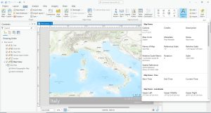
Dynamic text in ArcGIS Pro is a feature that allows you to insert text elements into your map layouts that are automatically updated.
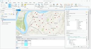
In this article, you’ll learn how to generate sequential and random numbers using the “field calculator” in ArcGIS Pro (Python and Arcade).