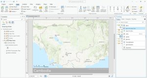
How To Create Map Templates in ArcGIS Pro
In this article, we’ll provide you with step-by-step instructions on how to create consistent map templates in your organization.
In this article, we’ll provide you with step-by-step instructions on how to create consistent map templates in your organization.
The purpose of data engineering in ArcGIS Pro is for you to explore and prepare your data before you start using it for analysis or mapping.
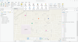
Map notes are a quick and easy way to add features or annotations to a map in ArcGIS Pro without having to create a feature class beforehand.

Raster analysis is the process of analyzing spatial information contained in grid datasets such as soils, land cover, elevation, and more.

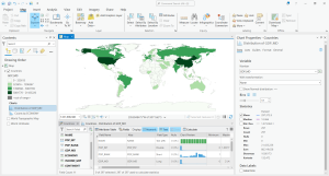
Data engineering in GIS prepares spatial data for analysis such as filling in missing values, adding fields, geoenriching, and cleansing values

R programming is a free, open-source language for statistical computing and visualization including analysis, data mining, and graphing.
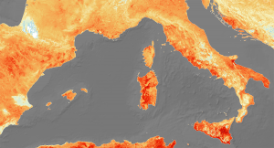
The ArcGIS Heat map tool is the Kernel Density tool, which calculates a magnitude per area from point or polylines using a kernel function.
A web mapping service (WMS) is a protocol for serving map layers over the internet. This article will show you how to connect to them in QGIS.
QGIS2Web is a plugin for QGIS that takes your desktop GIS and makes it available and interactive to other people through your own server.

QGIS geocoding converts an address into geographic coordinates. Learn how to use the bulk geocoding tool in the MMQGIS plugin for QGIS Desktop.