Geodesign: Integrating Geography and Design
Geodesign is the field of study that combines geography with design. Design shapes our world by addressing the needs of people and promoting more resiliency.
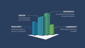
Geodesign is the field of study that combines geography with design. Design shapes our world by addressing the needs of people and promoting more resiliency.
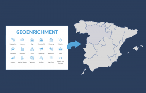
Geoenrichment is a process that assigns demographic attributes such as education, income, or age to polygons based on geographic location.
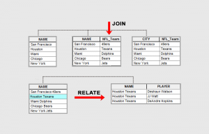
Join appends attributes to a table commonly used for 1-1 table relationships. Relate creates a temporary table for all matching records.
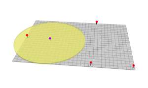
The buffer tool (planar/geodesic) generates a polygon around features at a set distance. Here are ring, geodesic & euclidean buffers.
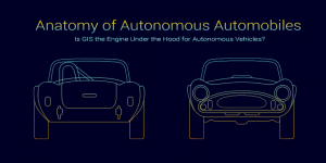
Routing, mapping and LiDAR. Will GIS thrive in a world of driverless cars? We explore the potential integration of GIS in autonomous vehicles.
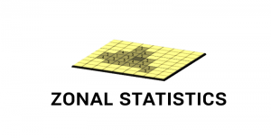
Zonal Statistics uses groupings to calculate statistics (sum, mean, maximum, etc) for specified zones like countries, watersheds or parcels.
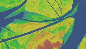
This tutorial explains how to read point clouds (LAS files) with ArcGIS 3D Analyst and build a digital elevation model and surface model.

GIS is applying machine learning into classification, prediction and segmentation. AI automatically learns on its own through training and labeling.
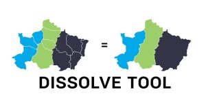
The Dissolve Tool combines adjacent boundaries based on common attribute values – only if neighbor polygons have the same dissolving attribute.
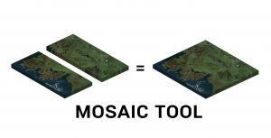
A mosaic combines multiple raster images to obtain a seamless raster. We show you how to mosaic raster datasets in ArcGIS and QGIS.