Best Photogrammetry Software in Geomatics
In this article, we’ll discuss the best photogrammetry software for geomatics available today including Pix4D, ArcGIS Pro, and Autodesk ReCap.
In this article, we’ll discuss the best photogrammetry software for geomatics available today including Pix4D, ArcGIS Pro, and Autodesk ReCap.
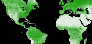
Google Earth Engine (GEE) is a cloud-based platform that delivers a multi-petabyte catalog of satellite imagery for planetary-scale analysis.

In this Autodesk review, we’ll talk about the world’s leading provider of CAD software for design, engineering, and construction.

If you’re new to HERE WeGo Maps, this guide will help you get started with the app, API, and other ways that you can use HERE WeGo Maps.
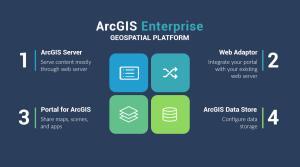
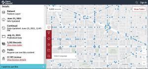
ArcGIS Enterprise is a back-end software that allows you to control how to implement web GIS and serve spatial data across an organization.
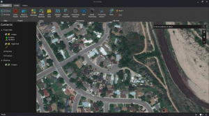
ArcGIS Drone2Map allows you to streamline your data collection with drones by providing a robust set of tools and automated workflows.
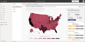
ArcGIS for Power BI is a tool that helps users analyze and visualize location-based data directly in Microsoft Power BI reporting dashboards.
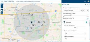
ArcGIS Solutions are out-of-the-box web app templates that you plug and play in ArcGIS Online to address any challenges in your organization.
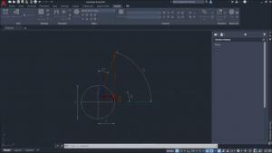
The ArcGIS for AutoCAD plugin is a bridge between both software that gives you interoperability for image services and editing features.
Because data analysis is a critical part of any business, Esri Business Analyst offers a suite of tools to help you make better decisions.