Smallworld by General Electric (GE) Review
GE has a long, successful track record in utilities and network infrastructure. Because of this, Smallworld has value-added tools specifically for networks.
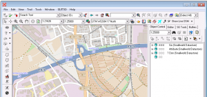
GE has a long, successful track record in utilities and network infrastructure. Because of this, Smallworld has value-added tools specifically for networks.
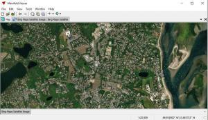
Manifold GIS has more or less the full capabilities of the bigger GIS software suites. But the key is their focus on speed and a low price tag.
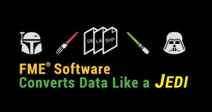
FME software is your GIS data conversion factory. You load a file format in. It churns out another – as requested. It’s as simple as that.
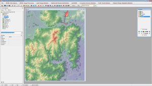
IDRISI TerrSet is primarily for remote sensing and image processing. With over 300 analysis tools, IDRISI TerrSet is as reliable as they come.

ArcGIS, QGIS, SAGA GIS to JUMP GIS. What GIS software should you be using? We map out the GIS software landscape and list 30 options for you to choose from.
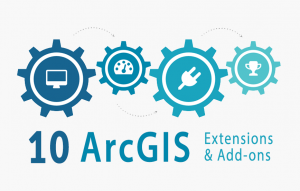
The best way to boost your capabilities in ArcGIS is through extensions and add-ons. And there is a massive, growing list even from 3rd party providers.
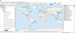
In this ArcGIS review, we rank it based on analysis, cartography, editing and data management capabilities. See our full review and find out where it ranks.
ArcGIS is geospatial software to view, edit, manage and analyze geographic data and patterns. Esri develops ArcGIS for mapping on desktop, mobile and web.
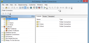
ArcCatalog is like a library for your GIS data. Like any good library, you can collect, store and manage your content. It’s where you write metadata too.
Hawth’s Tool’s successor is Geospatial Modelling Environment. GME provides an assortment of movement, conversion, geometry and statistical tools.