7 Alternatives to Google Maps for Navigation
Google Maps Alternatives
Google Maps is often the go-to navigation app for many of us. But what if you’re looking for something a little different? There are many alternatives to Google Maps that provide similar features and functions.
If you need a map of your city or directions for a road trip, these options can help.
So, take a look at these Google Maps alternatives, explore the features, and see which mapping app best suits your needs.
READ MORE: Google Earth vs Google Maps: What’s the Difference?
1. Waze
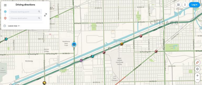
Actually, Google now owns Waze. But it’s still an alternative! The key to Waze is that it’s a crowdsourcing app. Users can report accidents, traffic jams, speed traps, and other hazards. Then, their reports are shared with other drivers in the area.
With real-time traffic and road info, you can see what might delay your commute. Waze is great because it has a moderation feature that checks if the reported hazards are accurate. That means you get fewer false claims!
You can also get directions with voice guidance, search for places, and save favorites for easy access. Waze is currently available for Android and iOS. But it’s also possible to use it on your desktop computer.
2. Apple Maps
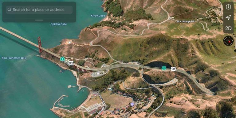
Apple Maps is the built-in maps app on your iPhone, iPad, and Mac computer. It’s a great navigation app, and it’s very easy to use. You can easily search for and navigate to addresses, and you can also search for and add specific places for quick access.
Apple Maps also has turn-by-turn navigation, so you can follow your route with ease. Plus, it can automatically find your nearest transit stations to help you get around. When you draw two fingers on the map, you can view its 3D map in a growing list of cities.
If you’re looking for an alternative to Google Maps, Apple Maps has a lot of great features. Although it’s growing in popularity, it’s probably the best option for anyone using an Apple device.
3. HERE WeGo
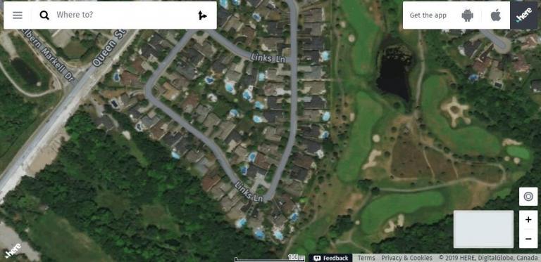
Say it in the voice of Super Mario! HERE WeGo Maps is an innovative mapping service that helps you find your way around. But it’s mostly known for its excellent navigation and route suggestions. With turn-by-turn voice navigation, it’s also one of the best for its built-in public transportation routing.
HERE WeGo Maps not only gives you detailed maps but also provides real-time traffic updates and lets you save locations. This makes it a great tool for travelers, commuters, and anyone who needs to find their way around a new area.
READ MORE: HERE WeGo Maps: The Best Way to Get Around
4. OpenStreetMap
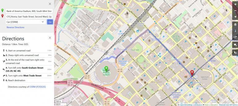
OpenStreetMap (OSM) is a free, open-source, community-driven mapping and navigation app. OSM was created in 2005. It has grown to include a global mapping community with activists and thousands of volunteers.
OSM maps include information about roads, buildings, parks, and other points of interest that are not available in Google Maps. Overall, OSM is a great app for hikers, cyclists, and those who like to explore the great outdoors.
READ MORE: How to Download Crowd-Sourced OSM Data
5. TomTom
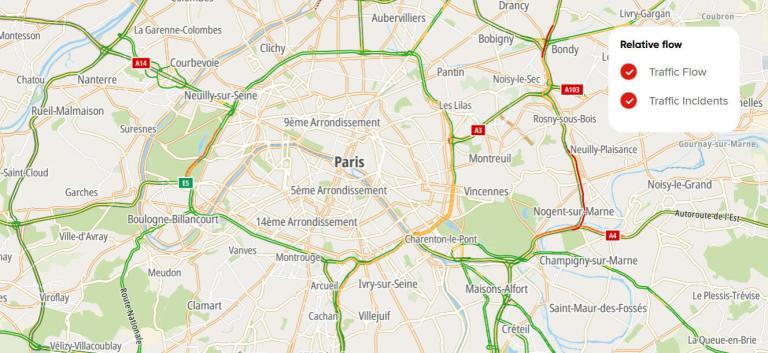
TomTom Maps is the company’s flagship mapping app and is one of the best alternatives to Google Maps. It offers turn-by-turn navigation and is one of the most comprehensive mapping apps available.
TomTom gives users accurate traffic information, so they can plan their routes. The software has many helpful features like speed alerts, road closures, and route planning. All of these features can help keep users safe on the roads.
It features a street view and satellite view, as well as indoor mapping for airports and malls. It’s a great app for those who want an easy-to-use mapping application. TomTom GO Navigation is available on Android, iOS, and other platforms.
6. Mapbox
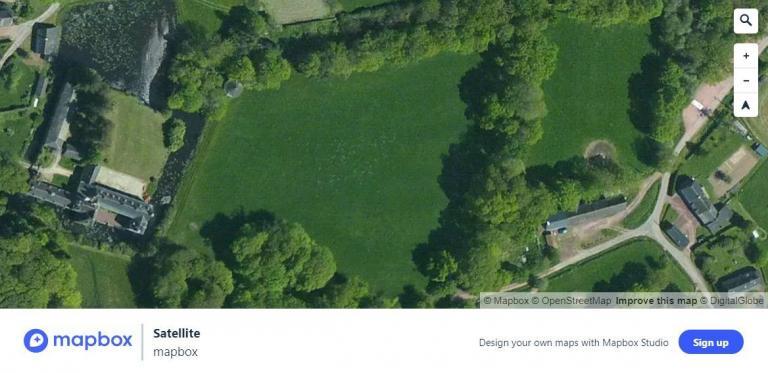
Mapbox is an app for making maps and getting directions. It’s mostly used by developers and businesses to create their own maps. However, you can also use Mapbox for your own personal navigation needs.
One major advantage of Mapbox is the ability to make personalized maps with markers, routes, and buildings. Mapbox has many other advantages, such as access to good satellite images worldwide and advanced geocoding abilities.
7. MapQuest
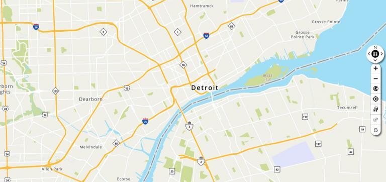
MapQuest is a mapping application that has been around since the early 90s. That doesn’t mean it’s good. Even though it has a bit of a dated interface, MapQuest gives you search options for addresses, points of interest, and specific businesses.
One of the major benefits of MapQuest is its comprehensive coverage. The platform offers detailed points of interest for virtually anywhere in the world. This makes it a viable option for planning trips or finding businesses and services in unfamiliar areas.
I admit that MapQuest is a bit of a long shot on this list. It’s at the bottom of our list and it does contain excessive advertisements. This makes it less desirable than other options on this list.
Conclusion
There are many alternatives to Google Maps, and the best ones will depend on your specific requirements. If you’re looking for a navigation and exploration tool, then you may want an app like TomTom or Waze which has live traffic updates.
OSM has maps made by the community that are good for hiking, cycling, and transportation. Apple Maps is great for iOS users. From unique base maps to places of interest, the other Google Maps alternatives also can provide you with what you’re looking for.
So now let’s flip it to you. What are your best alternatives to Google Maps? Please let us know in the comment section below.


Waze is Google
How old is this page? How can we tell if it’s still worth reading?
We usually check over our pages to see if all apps are active once every year (usually at the start of the year)
I ride a motorcycle. are there any route mapping apps that integrate the weather with the routing choices? I hate the rain and hate it if when I look up and see rain clouds ahead.