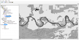
ILWIS – Integrated Land and Water Information Management
ILWIS is free (GNU license) for users around the world for GIS and remote sensing needs. Here are some of the neat features and developments.
ILWIS is free (GNU license) for users around the world for GIS and remote sensing needs. Here are some of the neat features and developments.
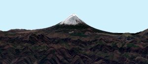
ArcScene and ArcGlobe both specialize in 3D. However, ArcScene is for local scenes and ArcGlobe is for global. Find out more differences between 3D software.
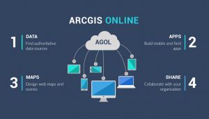
Have you ever wanted to create interactive web maps for your organization? Or how about the whole world? You can with Esri’s cloud-based ArcGIS Online.
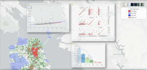
While not necessarily your prototype GIS package, GeoDa carries exciting analytical & visualization tools in industries like economics, health & real estate
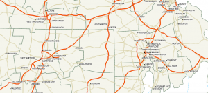
Maptitude prides itself as an affordable one-stop shop GIS on the market with a low learning curve. It shines in business and transportation.
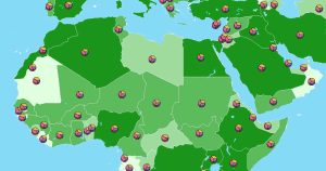
Companies, government, and the military embrace GeoMedia because of its solution-driven approach and its ability to extract actionable information.
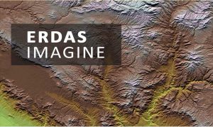
From passive to active remote sensing – photogrammetry to LiDAR, ERDAS Imagine loads you with all the necessary tools for more robust image analysis.
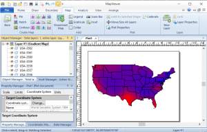
Golden Software MapViewer emphasizes scientific data mapping, modeling, and analysis. But it can also work with various thematic maps.
GRASS GIS (Geographic Resources Analysis Support System) is one of the oldest public domain GIS software in existence – over 30 years old.
Businesses around the world are embracing commercial GIS software because sometimes it just makes more business sense. We list commercial mapping software.