WhiteBox GAT – Geospatial Analysis Toolbox (Review)
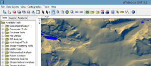
Whitebox GAT (Geospatial Analysis Toolbox) specializes in terrain analysis. But you can do processes like LiDAR and hydrology analysis.
Whitebox GAT (Geospatial Analysis Toolbox) specializes in terrain analysis. But you can do processes like LiDAR and hydrology analysis.

There’s a bucket load of free GIS software packages available for you to map the world. Manage, visualize and edit GIS data with open source GIS software.
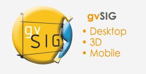
Map all day. Geoprocess all night. All with open source gvSIG software. gvSIG emerged in 2004. It’s been fine-tuned for close to two decades.
In Bentley Map, we step into a world of CAD and GIS all meshed into one. It combines the power of CAD with the strengths of a traditional GIS software.
FalconView is not a prototype GIS software. Instead, it’s a flight simulator that lets you do flight planning, simulations, and fly-throughs.
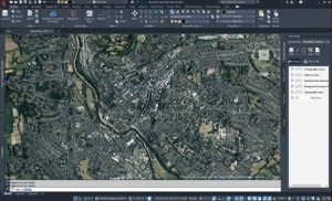
AutoCAD Map 3D has the same look and feel as Autodesk. By linking CAD and GIS, it bridges the gap between design and geographic locations.
The world of geoscientists can experiment with the free SAGA GIS. It’s a clear winner in 3D rendering, terrain analysis, and geostatistics.
The focus of uDig (User-friendly Internet GIS) is placed on database viewing and editing as well as a rich collection of GIS functionality.
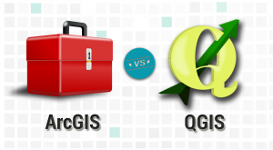
It’s a head-to-head GIS software showdown with the star-studded lineup in the GIS industry- ArcGIS vs QGIS. Discover the differences between ArcGIS and QGIS
In this QGIS 2 review, we see how this open source GIS software stacks up against others in mapping, editing, analysis, and data management.