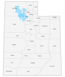
Utah County Map
This Utah county map displays its 29 counties. Salt Lake County, Utah County and Davis County have the highest population.
This Utah county map displays its 29 counties. Salt Lake County, Utah County and Davis County have the highest population.
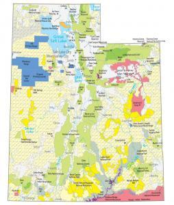
This Utah State Map shows major landmarks and places in Utah. It includes national parks, forests, monuments, wildlife refuges and federal lands in Utah.
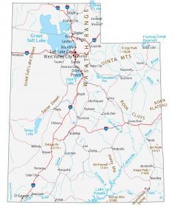
This Utah map contains cities, roads, rivers and lakes. Salt Lake City, West Valley City and Provo are some of the major cities shown in this map of Utah.
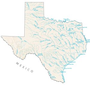
In this lakes and rivers map, you will find major rivers, reservoirs and lakes of Texas like Lake Texoma and Amistad Reservoir.
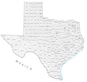
A Texas county map that displays its 254 counties. Harris County, Dallas County and Tarrant County are the most populated counties in Texas.
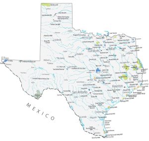
This Texas State Map shows major landmarks and places. It includes national parks, forests, military bases, historical sites and federal lands in Texas.
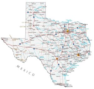
This Texas map contains cities, roads, rivers and lakes. For example, Houston, San Antonio and Dallas are major cities shown in this map of Texas.
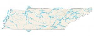
In this map, you will find major rivers, reservoirs and lakes like the Tennessee River. Most rivers head west toward the Mississippi River.
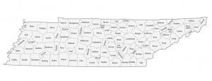
This Tennessee county map displays its 95 counties. Shelby County, Davidson County and Knox County are the most populated counties in Tennessee.
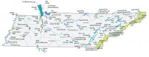
This Tennessee State Map shows major landmarks and places like national forests, parks, military bases, wildlife refuges and federal lands in Tennessee.