Map of Nepal
A Nepal map with cities, roads, satellite imagery, and elevation. Nepal is a country mostly in the Himalayas and North Indian River Plain.
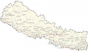
A Nepal map with cities, roads, satellite imagery, and elevation. Nepal is a country mostly in the Himalayas and North Indian River Plain.
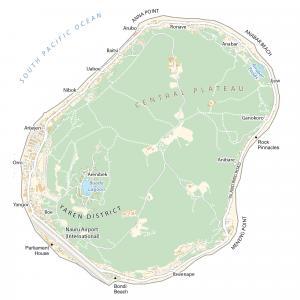
This map of Nauru (Pleasant Island) displays villages, roads, satellite imagery, and regions – the smallest island country in the world.
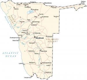
A map of Namibia with cities, roads, satellite imagery, and elevation – located in southeastern Africa along the South Atlantic Ocean.
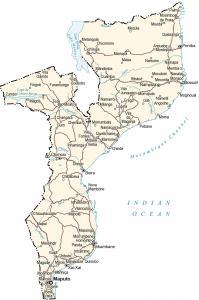
A map of Mozambique displays cities, roads, imagery, and elevation. Mozambique is located in southern Africa along the Indian Ocean.
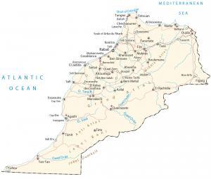
A Morocco map with cities, roads, imagery, and elevation – in northwestern Africa along the Mediterranean Sea and North Pacific Ocean.
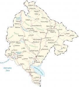
A Montenegro map with cities, roads, imagery, and elevation. Montenegro is a southeastern European country located along the Adriatic Sea.
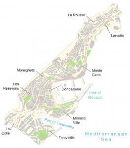
A Monaco map contains populated places, ports, roads, and imagery – It’s bordered by France, near Italy, and along the Mediterranean Sea.
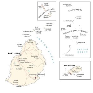
A Mauritius map showing cities, islands, roads, imagery, and elevation – the African island country in the Indian Ocean, east of Madagascar.
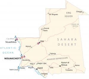
A Mauritania map with cities, towns, water, roads, satellite imagery, and elevation. Mauritania is a country located in northwest Africa.
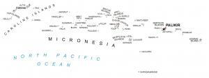
This Micronesia map (Federated States of Micronesia) shows atolls, islands, and water features, an island country in the North Pacific Ocean.