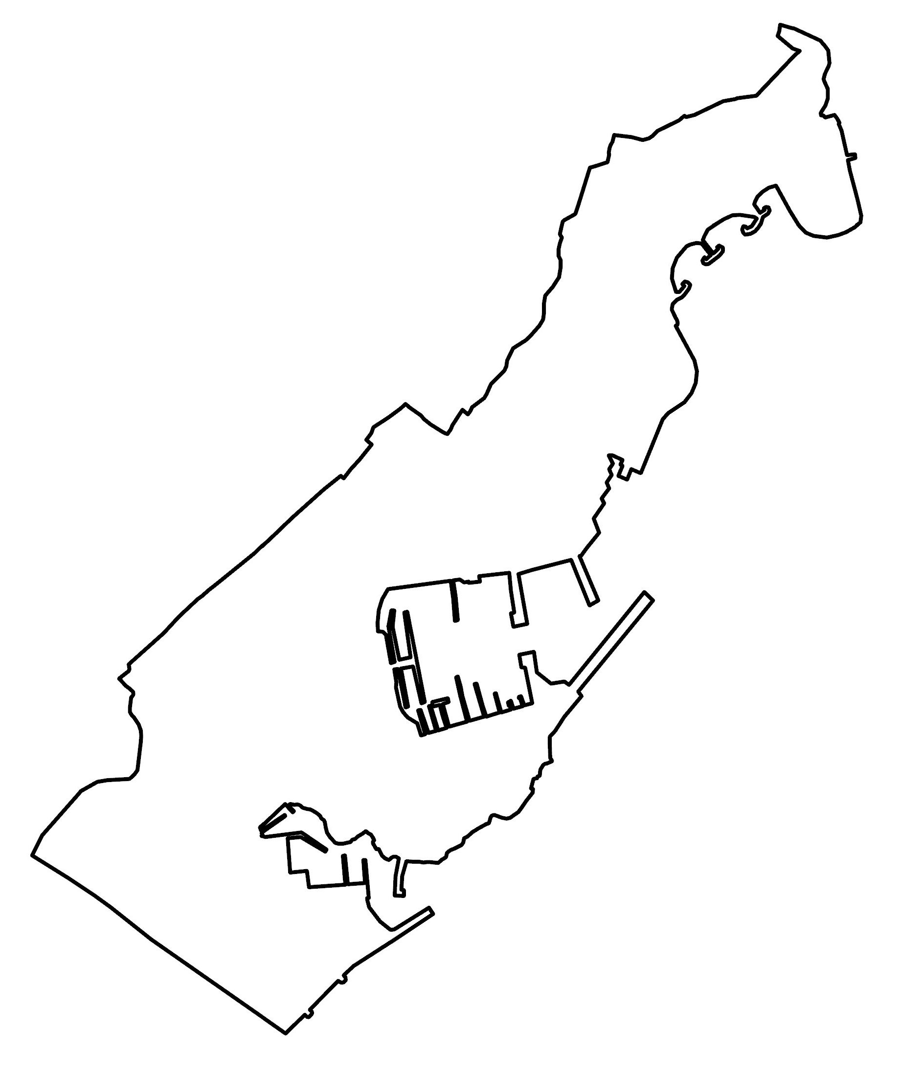
Monaco Map – Districts and Satellite Image

Get to know Monaco and the regions that make up the second-smallest nation in the world today. Check out a Monaco map with populated places, ports, buildings, roads, and satellite imagery.
Monaco map collection
You are free to use our Monaco map for educational and commercial uses. Attribution is required. How to attribute?
About the map
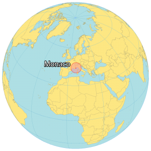
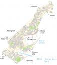
Monaco is a microstate bordered by France to the west and along the Mediterranean Sea. It has one of the smallest areas out of any other country occupying just 2.02 square kilometers (0.78 sq mi). This makes it the second smallest sovereign state in the world after the Vatican.
Monaco is known for its wealth and is one of the most expensive places in the world. It has a population of approximately 38,300 people with French as its official language. But English and Italian are also widely spoken within Monaco as well.
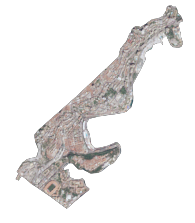
SATELLITE IMAGERY
Monaco Satellite Map
Monaco’s terrain is rugged and hilly and its coastal regions are mostly rocky. Along its east coast, Monaco is a long, narrow strip with beaches on the Mediterranean Sea. Whereas its border with France consists of foothills from the Alps.
Its highest point is on a pathway named “Chemin des Révoires” up to Mont Agel on the France side. Although Monaco does not have any forest cover, it has several parks and green spaces.
Wards and populated places
Fontvieille
La Colle
La Condamine
La Rousse
Larvotto
Les Resevoirs
Monaco Ville
Moneghetti
Monte Carlo
Ports
Port of Monaco
Port of Fontvieille
Water features
Mediterranean Sea


