Micronesia Map (Federated States of Micronesia)
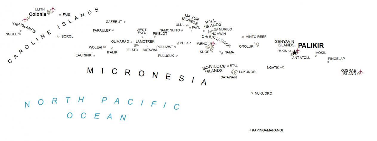
This Micronesia map (Federated States of Micronesia) contains its major island chains like the Caroline Islands and the Mortlock Islands. Also, it includes its towns, atolls, and water features.
You are free to use our Micronesia map for educational and commercial uses. Attribution is required. How to attribute?
About the map
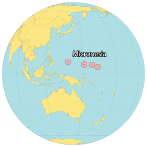
Micronesia is an island country in Oceania near Kiribati and the Marshall Islands, north of the equator. Micronesia consists of approximately 607 separate islands spread out over an area of approximately 702 square kilometers (271 sq mi).
Roughly 105,000 people reside in the Federated States of Micronesia with its most populous cities being Weno, Tofol, and Colonia. It’s made up of four states including Yap, Chuuk, Pohnpei, and Kosrae which are spread out from west to east in the North Pacific Ocean.
The Federated States of Micronesia is known for surfing, eco-tourism, and World War II sites. Because of its location in the world, the United States used it for running nuclear tests and setting up its military bases.


