What is Geofencing? A Guide to Virtual Barriers
DEFINITION:
Geofencing is a location-based technology that creates a virtual boundary around a real-world area that triggers an action when a device crosses it.
What is Geofencing?
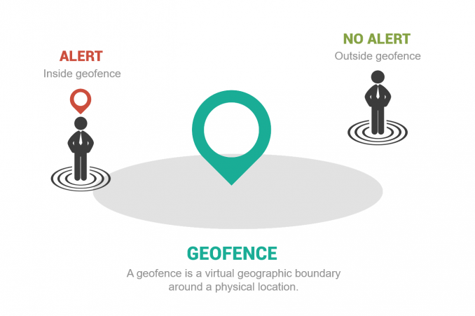
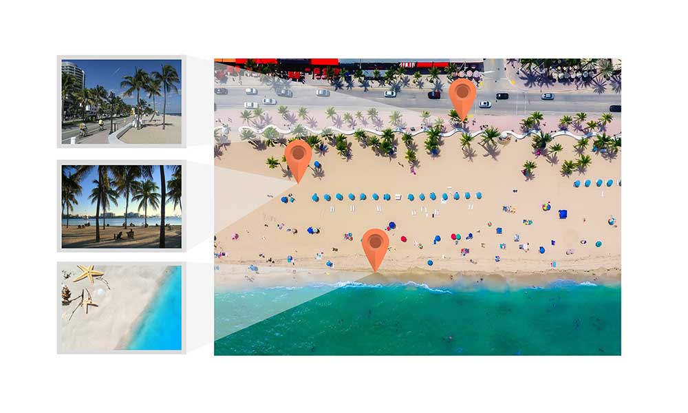
Geofencing uses a virtual geographic boundary around a physical location, which allows users to detect when someone enters or leaves a location. By increasing geographic awareness with geofences, you can trigger events and notifications in real-time situations.
Introduction to Geofencing
A geofence is a virtual geographic boundary around a physical location, which you can set alerts to users.
When you break up the word “geofence” into two separate parts, you get geo and fence.
When you put them together, you get a geographic boundary which is really what a geofence is… a virtual geographic boundary line. And this can be a very powerful tool.
Because geofencing can detect when someone enters or leaves a location, it can send real-time alerts or notifications. For example, it can send a text message to a mobile phone and increase awareness.
Geofencing Uses and Applications
The purpose of geofencing is usually to trigger an event. For example, if you enter within a boundary, it sends a text message to you.
Nowadays, the most common industries that use geofencing are:
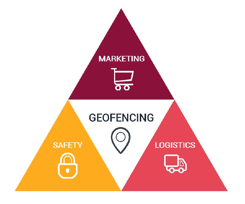
- RETAIL AND MARKETING – Retailers use geofencing to send personalized offers, discounts, or advertisements to customers’ smartphones when they enter a store or a defined proximity. In addition, malls can send notifications about promotions or events happening within the mall to attract foot traffic.
- HOSPITALITY AND TOURISM – Geofencing can help hotels send check-in instructions, room keys, or special offers to guests’ devices when they arrive at the property. Tourist sites and attractions can use geofencing to provide contextual information, self-guided tours, and discounts to visitors.
- TRANSPORTATION AND LOGISTICS – Companies with vehicle fleets can use geofencing to monitor routes, receive alerts for deviations, and optimize logistics. Geofencing can trigger alerts when a delivery vehicle approaches a specified location, ensuring timely deliveries and efficient routing.
- UTILITY AND ENERGY – Utilities can use geofencing to track field technicians’ locations, manage tasks, and allocate resources more effectively. Geofencing can trigger actions like adjusting thermostats when a user enters or leaves their home, helping with energy conservation.
Really, it’s all about increasing awareness for the user. Whether it’s customers, criminals, or drivers, we can use geofencing in unique and innovative ways.
1. Alert potential customers of sales
In retail, geofencing brings a world of opportunity for laser-targeted advertisements to consumers in a given area.
Think about it for a second:
When consumers enter within a distance of a restaurant, they get a text message tailored to their likes and needs.
If your favorite dessert is 50% off, just how tempting is it to walk that extra 50 meters away?
In fact, Apple uses this sales tactic to attract customers to the Apple Store. Enter geofencing marketing, a new way to advertise and get customers into a store.
2. Notify parents of children’s location for safety
For public safety, geofencing can notify parents if their children leave a designated area. Creating this imaginary boundary line where kids can play gives that bit of safety.
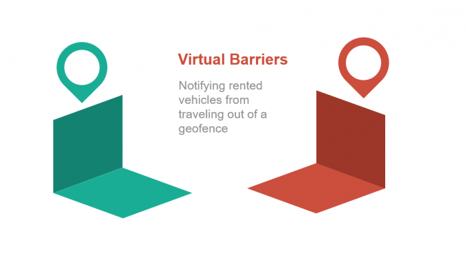
Not only for parents, but geofencing can increase the safety of firearms. For example, it can notify areas of permitted firearms reducing casualty.
The FAA’s B4UFLY mobile app signals the requirements to fly drones at locations. Delineating those no-fly zones is 10x easier if you can be notified exactly where that fine imaginary boundary line is.
Also, car rental companies can prevent their rented vehicles from traveling out of a geofence.
3. Signal truck drivers for deliveries
In delivery, trucks use geofencing to signal when delivery trucks enter a distance for proximity. As soon as it’s within the boundary, it signals an event for pick-up delivery.
Businesses are always trying to save costs for efficiency. For geofencing, it automatically tracks when delivery trucks enter or leave the premises. In turn, this reduces the time to sign papers or get the people to unload the truck.
Geofencing can even notify customers when a delivery truck is within a certain distance.
ArcGIS GeoEvent Server for Geofencing
The ArcGIS GeoEvent Server is Esri’s geofencing platform. You can connect to GPS devices and social media and construct your own real-time awareness apps.
Also, you can connect to streaming data feeds and automatically send alerts by email or text messages. Also, you can update a database or perform other types of events.
Valarm is one of the leading monitoring platforms that use geofencing. They’ve monitored flooding, air quality, and even noise with a real-time dashboard.
One of the best things is how it integrates with ArcGIS Online, Esri’s cloud-based platform. As part of this whole platform, users can intuitively create apps and maps in the cloud. In turn, your organization can use these online apps for mobile, tablet, and even field collection.
To Geofence or Not to Geofence. That is the Question
Sounds almost poetic, doesn’t it? But geofencing is about increasing awareness in real-time situations.
Whether it’s for security, retail, or delivery, we will continue to see geofencing usage increase.
Really, this is just the beginning step to the Internet of Things (IoT) – a more connected and responsive system of sensors, signals, and devices.
What are some of your neat applications of geofencing? Please let us know with a comment below.



I’ve made storymaps (ESRI) and would like it if people on the tour had an alert come up when they were near a point of interest on the map. This doesn’t seem to be possible yet, but maybe someday.
Proximity not geofencing….
Some stores use geofencing for their shopping carts where if the shopping cart is taken outside the store and beyond a certain distance it will trigger a breaking device on one of the wheels. This prevents shopping carts from be taken away.
Daniel don’t tell Bubbles about your idea of the shopping carts!
Some stores use geofencing for their shopping carts where if the shopping cart it taken outside the store and beyond a certain distance it will trigger a breaking devise on one of the wheels. This prevents shopping carts from be taken away.