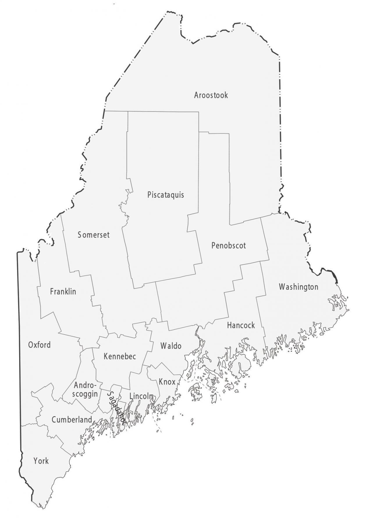
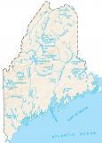
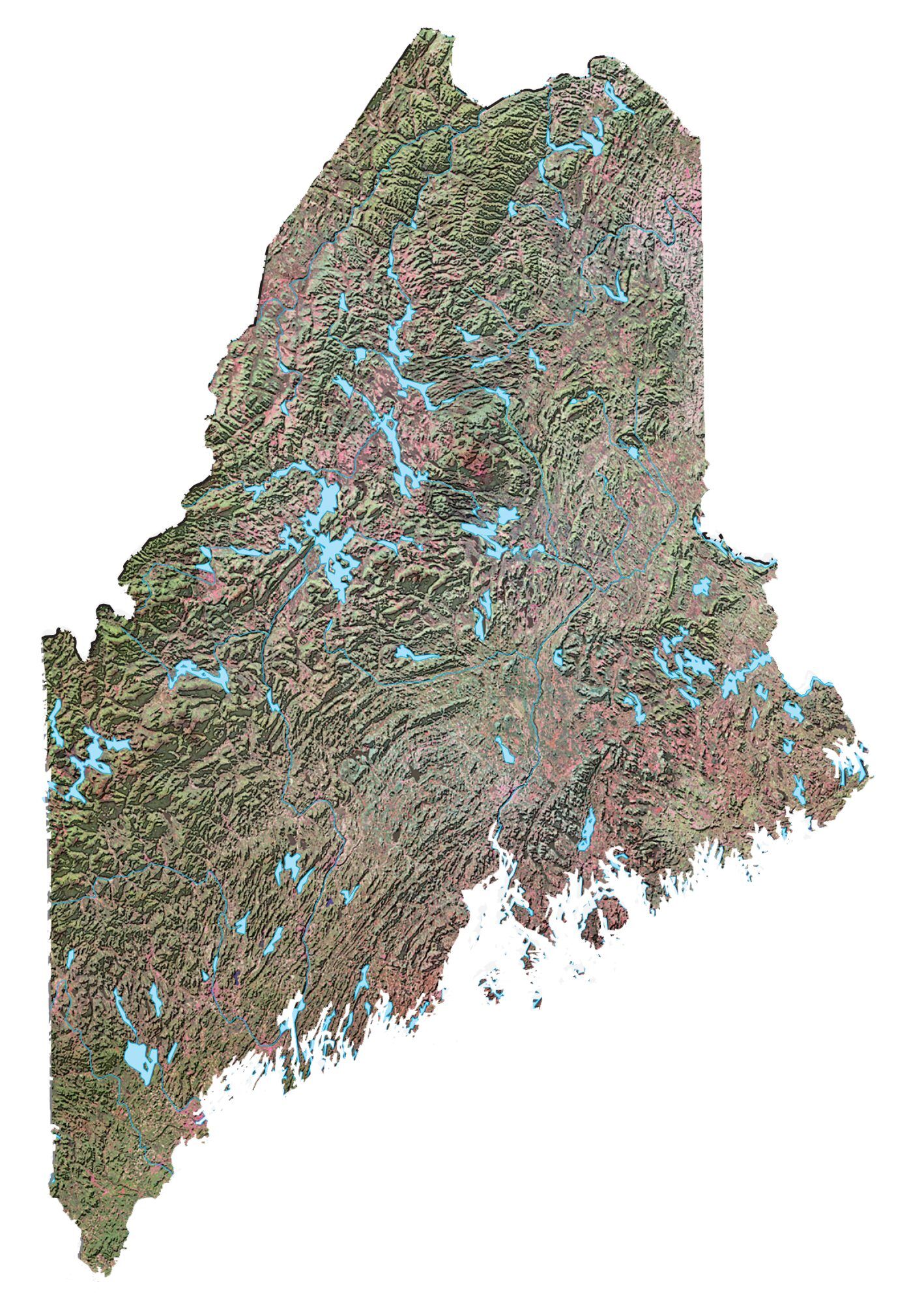
Maine County Map
About the map
This Maine county map displays its 16 counties. Maine ranks 42nd as one of the states with the fewest counties. Only Arizona, Massachusetts, Vermont, New Hampshire, Connecticut, Hawaii, Rhode Island, and Delaware have fewer counties.
Not only are there not many counties in Maine, but not a single county has over 300,000 people. In fact, the most populated county in Maine is Cumberland County with just over 295,000 people. The least populated county in Maine is Piscataquis County, smack dab in the center of Maine.
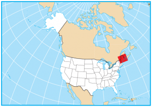
For size, Aroostook County is the largest county occupying an area of 6827.1 square miles. Sagadahoc County is the smallest county with just an area of 259.7 square miles. Overall, Maine is the northernmost state in the contiguous United States and borders a large portion of Canada.

You are free to use our county map of Maine for educational and commercial uses. Attribution is required. How to attribute?
List of Maine counties
| FIPS Code | Name | Land (sq mi) | Water (sq mi) | Population (2024) |
|---|---|---|---|---|
| 23-001 | Androscoggin County | 467.9 | 29.2 | 115,272 |
| 23-003 | Aroostook County | 6671.2 | 156.3 | 66,776 |
| 23-005 | Cumberland County | 835.7 | 381.8 | 313,809 |
| 23-007 | Franklin County | 1697.0 | 46.8 | 30,902 |
| 23-009 | Hancock County | 1587.1 | 757.8 | 56,946 |
| 23-011 | Kennebec County | 867.5 | 83.7 | 128,461 |
| 23-013 | Knox County | 365.1 | 778.8 | 40,981 |
| 23-015 | Lincoln County | 455.9 | 243.7 | 36,491 |
| 23-017 | Oxford County | 2076.9 | 98.8 | 60,039 |
| 23-019 | Penobscot County | 3397.2 | 159.8 | 156,840 |
| 23-021 | Piscataquis County | 3961.0 | 417.0 | 17,432 |
| 23-023 | Sagadahoc County | 254.0 | 116.1 | 37,582 |
| 23-025 | Somerset County | 3924.3 | 169.1 | 51,338 |
| 23-027 | Waldo County | 730.0 | 122.8 | 40,617 |
| 23-029 | Washington County | 2562.7 | 695.0 | 31,383 |
| 23-031 | York County | 991.0 | 278.7 | 220,143 |