Federal Lands of the United States Map
A United States federal lands map where the US government owns. It includes national parks, Indian Lands, national forest and fish/wildlife.
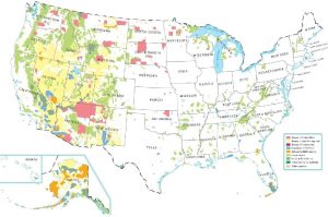
A United States federal lands map where the US government owns. It includes national parks, Indian Lands, national forest and fish/wildlife.
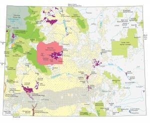
A Wyoming State Map showing major landmarks, populated places, national forests, military bases, parks, wildlife refuges and other federal lands in Wyoming.
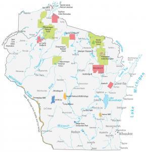
This Wisconsin State Map shows major landmarks and populated places. It includes national forests, wildlife refuges and federal lands in Wisconsin.
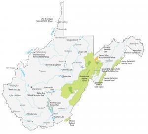
This West Virginia State Map shows major landmarks in West Virginia like national parks, forests, military bases and federal lands in West Virginia.
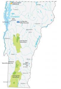
This Vermont State Map shows major landmarks and places in Vermont like national forests, military bases, wildlife refuges and federal lands in Vermont.
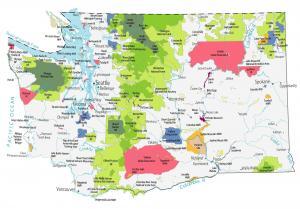
This Washington State Map shows major landmarks in Washington like national parks, forests, monuments, scenic areas, military bases and more.
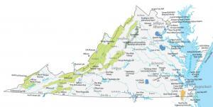
This Virginia State Map shows major landmarks in Virginia. It includes national forests, military bases, wildlife refuges and federal lands in Virginia.
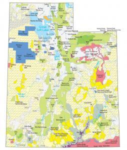
This Utah State Map shows major landmarks and places in Utah. It includes national parks, forests, monuments, wildlife refuges and federal lands in Utah.
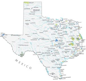
This Texas State Map shows major landmarks and places. It includes national parks, forests, military bases, historical sites and federal lands in Texas.
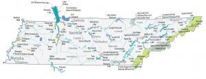
This Tennessee State Map shows major landmarks and places like national forests, parks, military bases, wildlife refuges and federal lands in Tennessee.