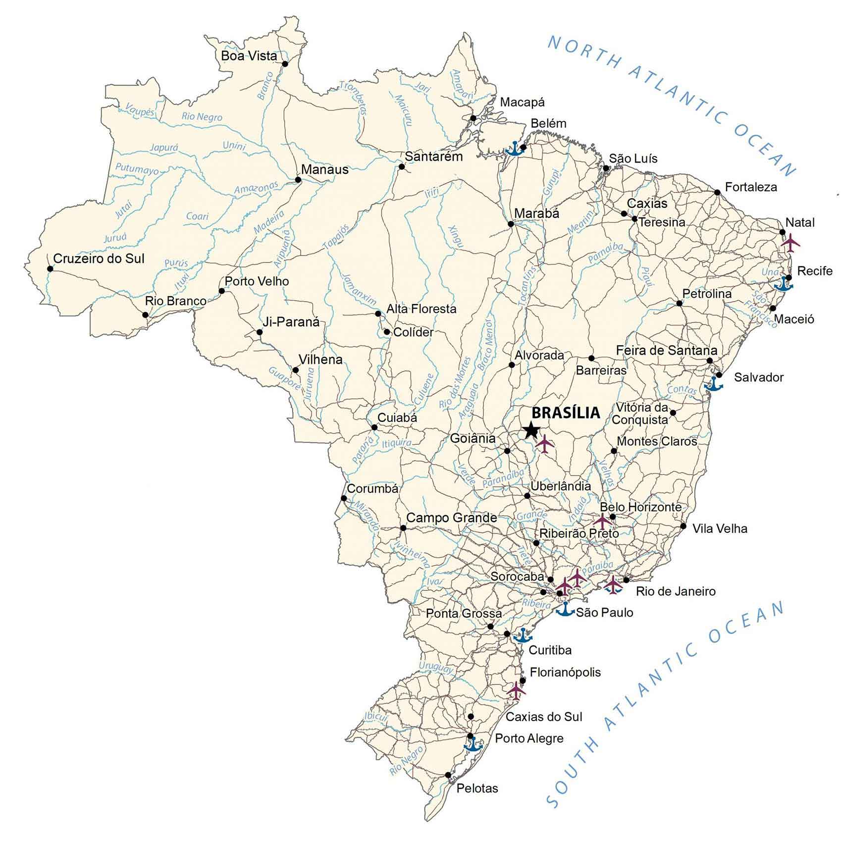
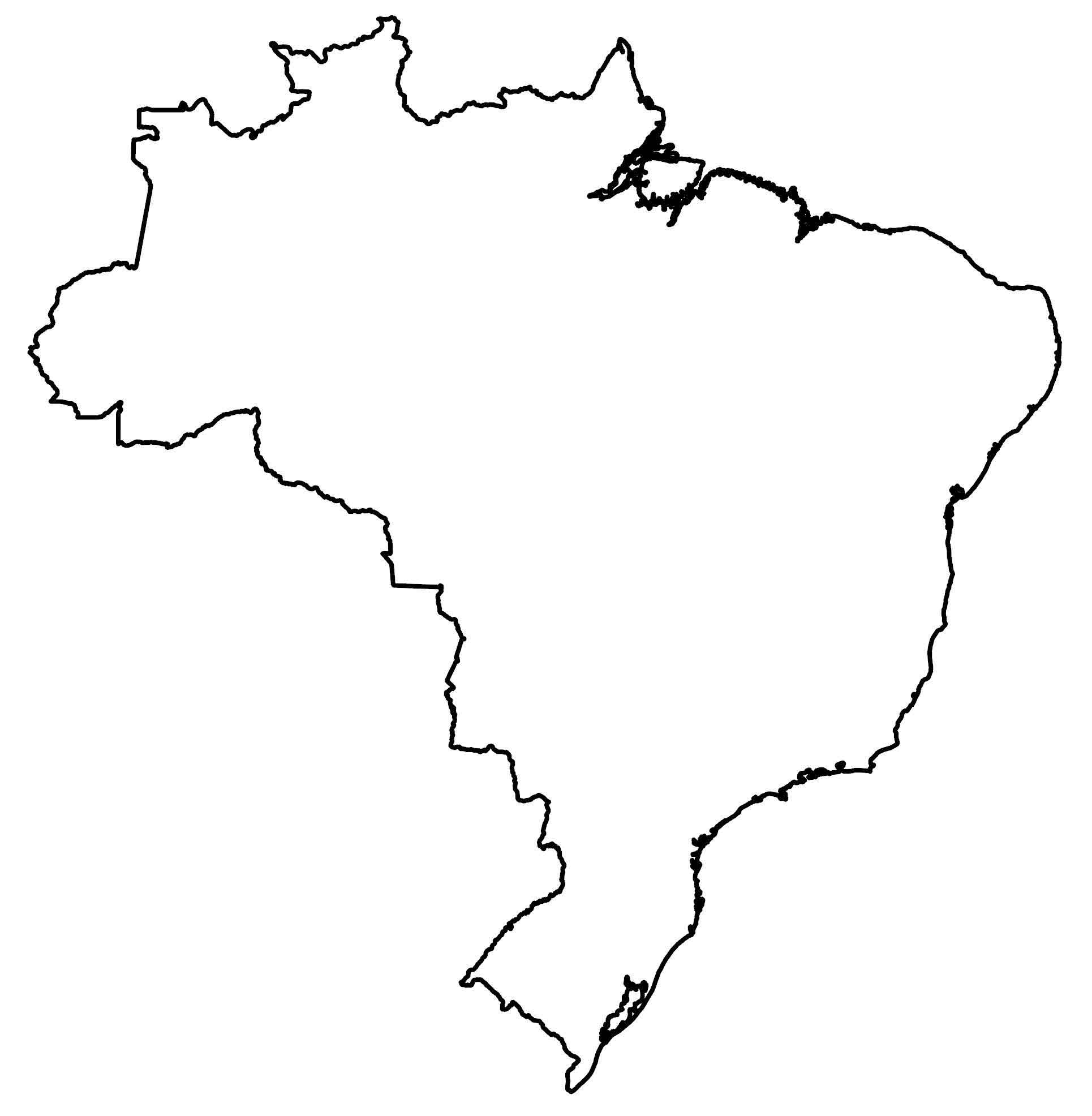
Map of Brazil – Cities and Roads
Brazil is a country of superlatives. It’s the largest country in South America with the largest waterfall, most rainforests, and longest river. This map of Brazil captures everything from its major cities to the Amazon Basin in a satellite, elevation, and reference map.
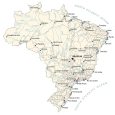
Brazil map collection
You are free to use our Brazil map for educational and commercial uses. Attribution is required. How to attribute?
About the map
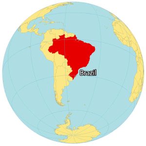
Brazil is located in eastern South America and is the fifth largest country in the world. Its diverse ecosystems, including the Amazon Rainforest and the Pantanal wetlands, contribute to Brazil’s status as a global biodiversity hotspot.
Not only is it the largest country in South America, but it’s also the largest country in the entire southern hemisphere. It’s so large that it shares common boundaries with every South American country except Chile and Ecuador.
As the longest north-south directional country in the world, it also shares 4,600 miles (7,400 km) of coastline with the Atlantic Ocean along the east coast. While the capital of Brazil is Brasília, the largest city is São Paulo with Rio de Janeiro as the second largest.
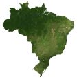
SATELLITE IMAGERY
Brazil Satellite Map
Brazil is home to a diverse range of landscapes with mostly a tropical and temperate climate. One of the most notable ecosystems is its tropical rainforests in the Amazon Basin. Although deforestation is one of its biggest environmental challenges, the Amazon Rainforest is still home to a diverse range of vegetation and animal habitats.
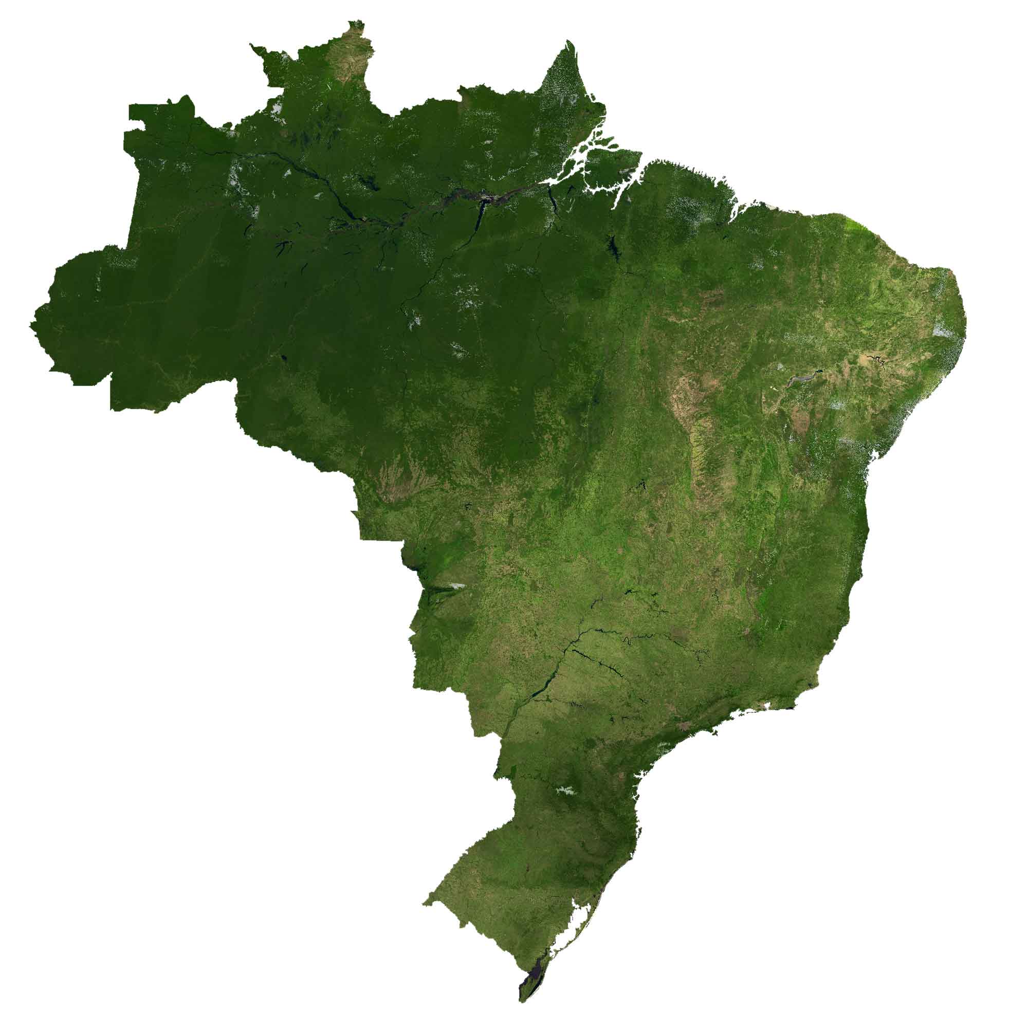
Brazil has an extremely complex system of flowing rivers that drain into the Atlantic Ocean. The longest river is the Amazon River with the most discharge volume in the world. Brazil is also home to the largest waterfall in the world, the Iguazu Falls, along its border with Argentina.
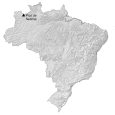
PHYSICAL MAP
Brazil Elevation Map
The terrain of Brazil is mostly flat with rolling lowlands to the north. Plains, hills, and mountains throughout the country cover an area of 8,515,767 square kilometers (3,287,956 sq mi).

Pico da Neblina is Brazil’s highest mountain peak at 2,995 meters (9,827 ft) in height. The mountain’s name translates to “Peak of the Mists” because it towers high enough to the clouds. Other major mountain ranges in Brazil include the Pedra da Mina, Serra do Espinhaco, Imeri, and the Tumucumaque ranges.
Capital City
Brasília
Major cities and towns
Rio de Janeiro
São Paulo
Belém
Porto Alegre
Curitiba
Fortaleza
Salvador
Goiânia
Recife
Cities, towns and villages
Cruzeiro do Sul
Manaus
Caxias
Santarém
Marabá
Vilhena
Ji-Paraná
Campo Grande
Florianópolis
Feira de Santana
Boa Vista
Macapá
Rio Branco
São Luís
Porto Velho
Alvorada
Corumbá
Belo Horizonte
Montes Claros
Uberlândia
Colíder
Alta Floresta
Cuiabá
Pelotas
Caxias do Sul
Ponta Grossa
Teresina
Maceió
Vitória da Conquista
Barreiras
Vila Velha
Natal
Campinas
Sorocaba
Ribeirão Preto
Petrolina
Lakes and rivers
Amazon River
Rio Negro
Mamoré River
Guaporé River
Madeira River
Paraná River
Araguaia River
São Francisco River
Paranaíba River
Tocantins River
Indaiá River
Javaés River
Grande River
Culuene River
Juruena River
Xingu River
Tapajós River
Japurá River
Jequitinhonha River
Branco River
Purus River
Paraiba River
Tocantins River
Guaporé River
Oceans
North Atlantic Ocean
South Atlantic Ocean
Highest Point
Pico da Neblina