Map of Paraguay – Cities and Roads
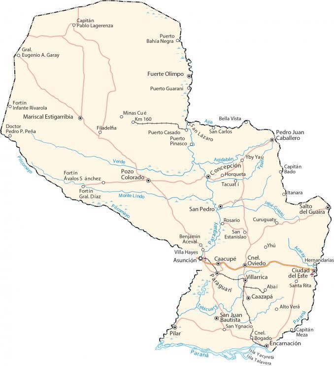
This map of Paraguay shows cities, towns, highways, roads, lakes, and rivers. Satellite imagery and an elevation map display its notable features like the Chaco, Paraneña, and the Paraguay River.
Paraguay map collection
You are free to use our Paraguay map for educational and commercial uses. Attribution is required. How to attribute?
About the map
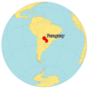
Paraguay is a landlocked country in South America. It borders Bolivia to the northwest, Argentina to the south, and Brazil to the northeast. Because of its central position in the continent, Paraguay’s nickname is the ‘heart of South America’.
It’s also known as “the land of water” because the Paraguay River is the lifeblood of the country splitting it into north and south.
But it’s also because it contains the world’s largest water reserve, Guarani Aquifer, stretching into Brazil and Argentina. The capital and largest city of Paraguay is Asuncion.
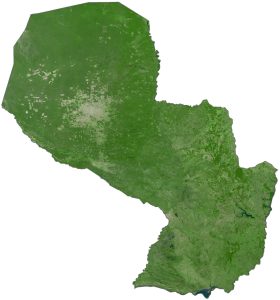
SATELLITE IMAGERY
Paraguay Satellite Map
Paraguay occupies an area of 406,796 square kilometers (157,065 sq mi), which makes it larger than Guyana but smaller than Chile. It has diverse types of landscapes with forests, swampland, and even beaches along the Paraguay and Paraná rivers. But its most significant region is the Chaco, which covers 60% of the area.
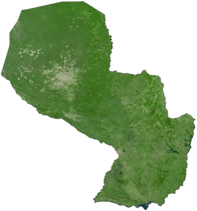
The Chaco region is known for being one of the most sparsely inhabited areas in South America with just 3% of Paraguay’s population. While the east of Paraguay has heavy rainfall, the west is considered semi-arid. Although it’s completely landlocked, it has coasts, beaches, and ports with access to the Atlantic Ocean.
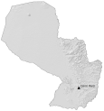
PHYSICAL MAP
Paraguay Elevation Map
The Paraneña region is the most populous in Paraguay with about 95 percent of its population. But at the same time, it contains the most topographic features in the country. In general, its eastern border is an area of highlands with elevations reaching 700 meters (2,297 ft) above sea level.
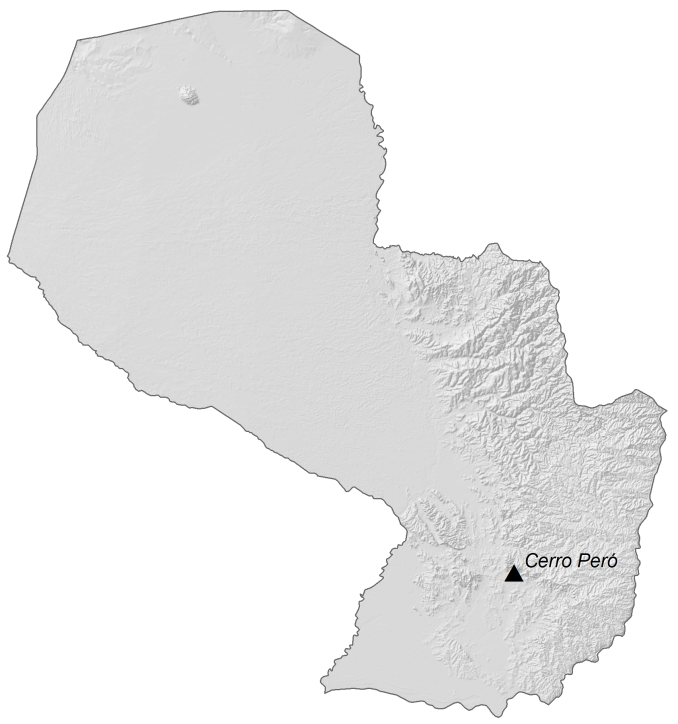
As it transitions towards the interior toward the Panama River, it becomes a lowlands area prone to flooding. At 842 m (2,762 ft) in height, Cerro Peró is the highest peak in Paraguay. Whereas its lowest point is 46 meters at the junction of the Paraguay and Parana Rivers.
Capital City
Asunción
Major cities and towns
Caazapá
Ciudad del Este
Cnel. Oviedo
Concepción
Encarnación
Fuerte Olimpo
Paraguari
Pedro Juan Caballero
Pilar
Pozo Colorado
Salto del Guaira
San Juan Bautista
San Pedro
Villarrica
Cities, towns and villages
Abaí
Alto Verá
Bella Vista
Benjamin Aceval
Caacupé
Capitán Bado
Capitán Meza
Capitán Pablo Lagerenza
Cnel. Bogado
Curuguaty
Doctor Pedro P. Peña
Filadelfia
Fortín Ávalos Sánchez
Fortín Gral. Díaz
Fortín Infante Rivarola
Gral. Eugenio A. Garay
Hernandarias
Horqueta
Itanara
Mariscal Estigarribia
Minas Cué
Puerto Bahía Negra
Puerto Casado
Puerto Guarani
Puerto Pinasco
Rosario
San Carlos
San Estanislao
San Lázaro
San Ygnacio
Santa Rita
Tacuatí
Villa Hayes
Yby Yaú
Yhú
Lakes, rivers and water features
Acaray River
Apa River
Aqidabán River
Jejuí-Guazú River
Monte Lindo River
Paraguay River
Paraná River
Pilcomayo River
Tebicuary River
Verde River
Islands
Isla Talavera
Isla Yacyretá