Cambodia Map – Cities and Roads
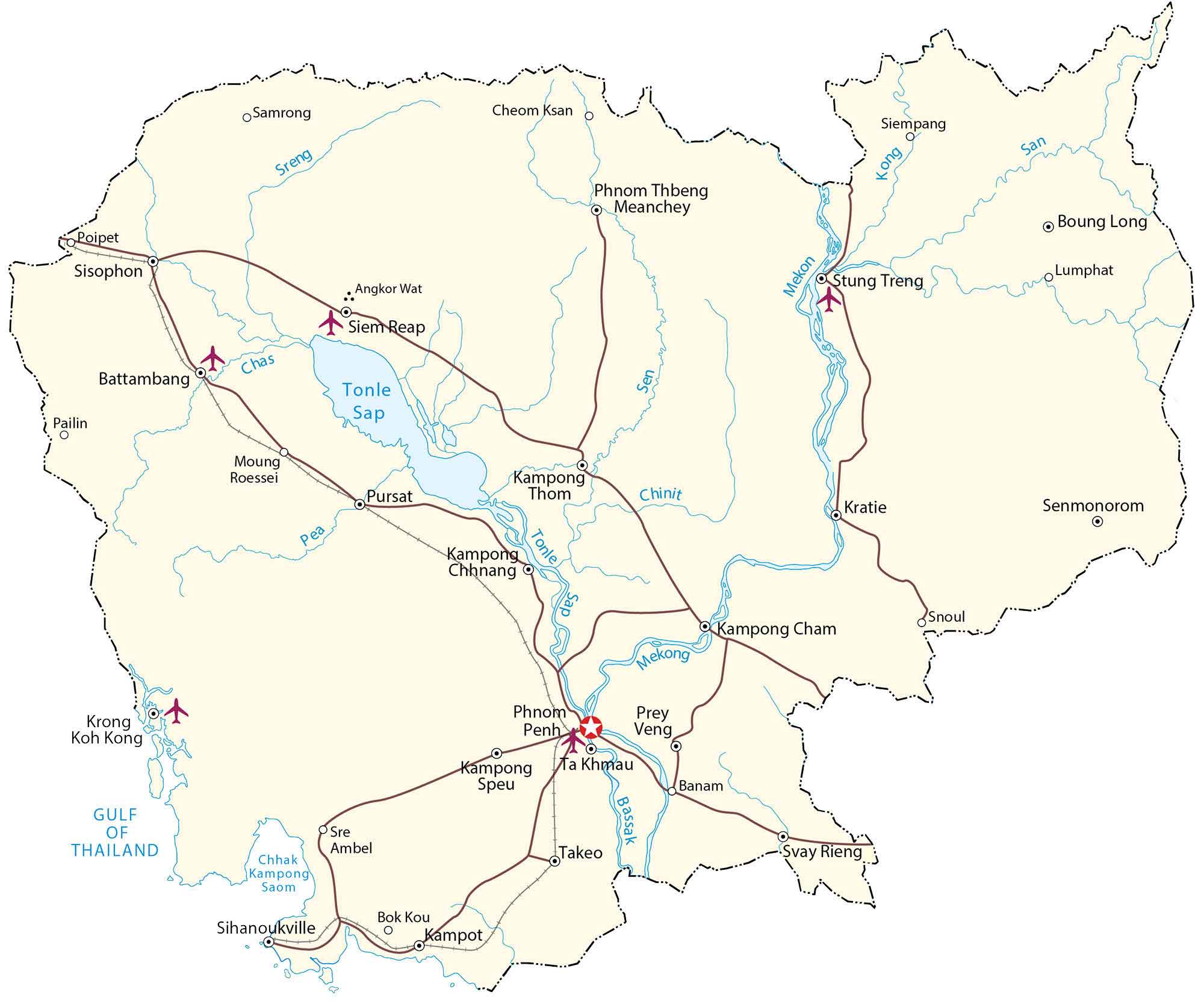
This Cambodia map displays major cities, towns, roads, rivers, and lakes. It includes an elevation map and satellite imagery to view its topography like the Cardamom Mountains.
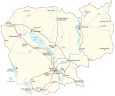
Cambodia map collection
You are free to use our Cambodia map for educational and commercial uses. Attribution is required. How to attribute?
About the map
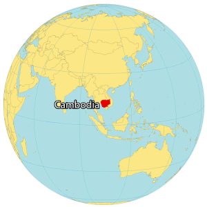
Cambodia is located in Southeast Asia. It borders just 2 other countries. First, Vietnam wraps around Cambodia from the south all the way around to the northeast. Secondly, Thailand is situated to the north of Cambodia. Also, its coastline is heavily indented by the Gulf of Thailand with a length of about 443 km (275 mi).
Cambodia is world-renowned for its temples with over 4000 locations throughout the country. Perhaps, one of the most recognized is Angkor Wat, which is the largest religious monument in the world. Phnom Penh is the capital and largest city of Cambodia, as well as its economic, industrial, and cultural center.
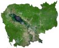
SATELLITE IMAGERY
Cambodia Satellite Map
Cambodia occupies an area of 181,035 square kilometers (69,898 sq mi). This means it’s larger than Uruguay but smaller than Syria. Despite its occasional droughts, Cambodia contains a significant amount of freshwater like Tonlé Sap Lake, the largest lake in Cambodia.

Although its size varies because of seasonal inundation, it’s also recognized as the largest freshwater lake in Southeast Asia. Its longest river is the Mekong River which is the twelfth longest in the world. It’s at the convergence of the Mekong River, the Tonlé Sap River, and the Bassac River which is home to Cambodia’s capital, Phnom Penh.
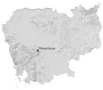
PHYSICAL MAP
Cambodia Elevation Map
The terrain in Cambodia is diverse with the Cardamom Mountains (also known as the Kravanh Mountains) situated in the southwest region. Then, it transitions to low-lying plains within the interior. Finally, the northeast is mostly characterized by mountains and hills.
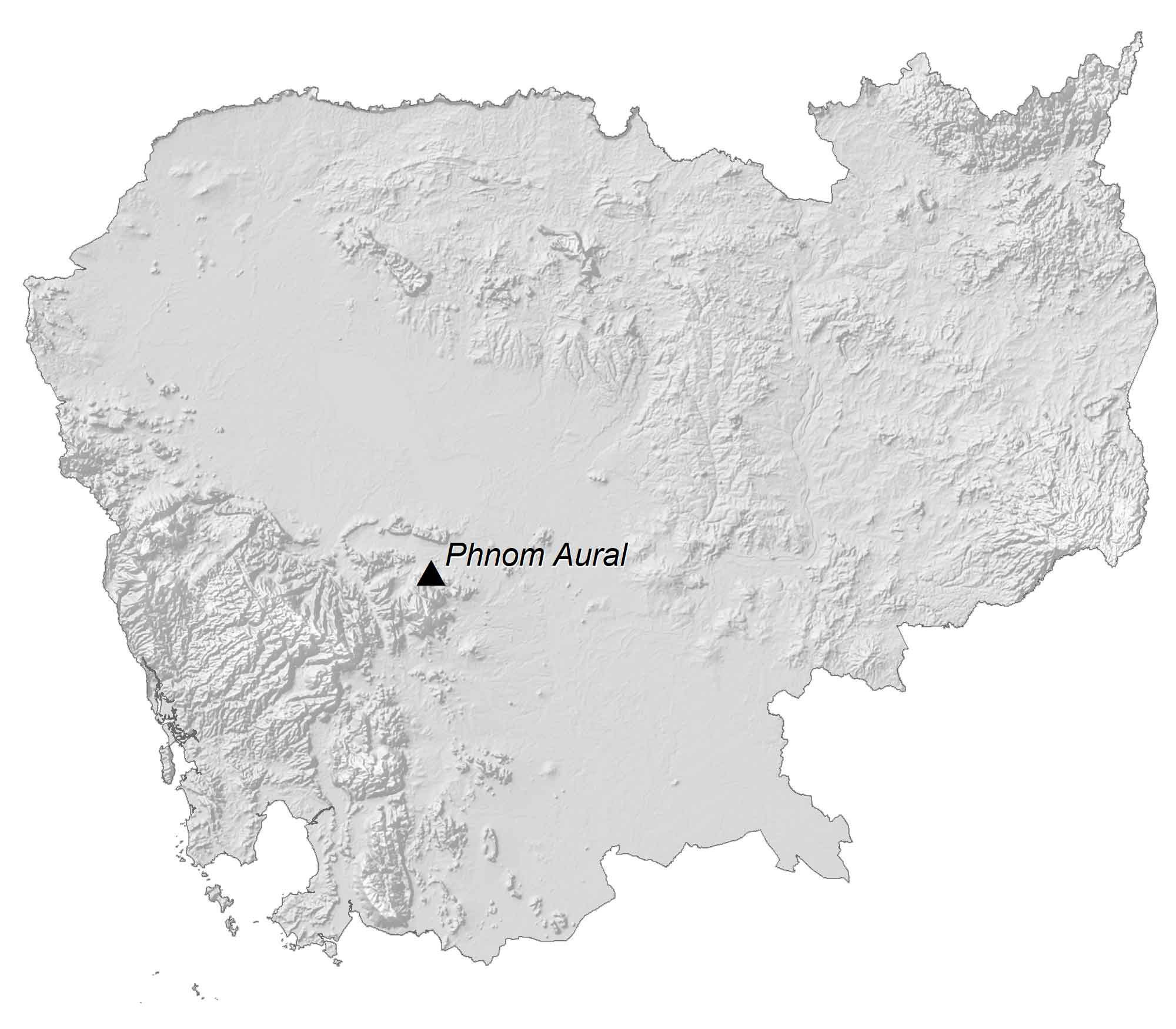
Phnom Aural is part of the Cardamom Mountains in the west and belongs to the Phnom Aural Wildlife Sanctuary. Although its height varies by source, it’s recognized as Cambodia’s highest peak at 1,813 m (5,948 ft) in height.
Capital City
Phnom Penh
Major cities and towns
Siem Reap
Battambang
Sihanoukville
Kampong Cham
Kratie
Kampot
Takeo
Senmonorom
Pursat
Cities and towns
Poipet
Sisophon
Pailin
Krong Koh Kong
Samrong
Kampong Speu
Cheom Ksan
Tbeng Meanchey
Siem Pang
Stung Treng
Boung Long
Lumphat
Ta Khmau
Bok Kou
Snoul
Prey Veng
Banam
Svay Rieng
Lakes, rivers and creeks
Tonle Sap
Mekong River
Pea River
Chas River
Bassak River
Chinit River
San River
Sen River
Kong River
Sreng River
Historic Sites
Angkor Wat