QuickMapServices: Basemaps for QGIS
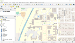
QuickMapServices is usually the first plugin that everyone installs after and is now the main provider of base maps in QGIS Desktop.
QuickMapServices is usually the first plugin that everyone installs after and is now the main provider of base maps in QGIS Desktop.
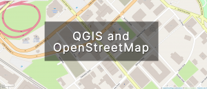
This tutorial will walk you through how to QGIS OpenStreetMap plugins for QGIS including how to use OSM base maps and extract its features.
Geoanalytics is an emerging science in which big data technology extracts meaning, patterns, and insights from complex geospatial datasets.
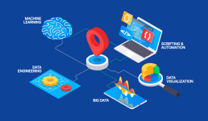
Spatial data science is a subset of data science. It’s where data science intersects with GIS with a focus on new computing techniques like AI.
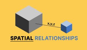
The term “spatial relationships” refers to the way objects are arranged in relation to one another such as adjacency, overlap, and proximity.
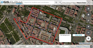
QGIS Cloud enables you to publish professional maps and data on the internet through QGIS Desktop without the need of owning your own server.
MMQGIS is a QGIS plugin that contains a collection of GIS tools to simplify data manipulation such as geocoding, importing, and exporting.
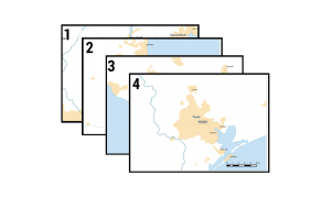
Like a modern-day mechanical mapping machine, you can automate your map output. We explain how to create mapbooks with this QGIS Atlas tutorial.
Data visualization serves not only as a tool for insightful analysis but also as a powerful means to communicate complex information.
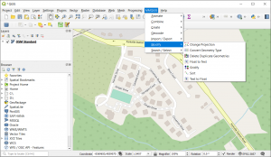
If you’ve ever used QGIS before, you’ll know that QGIS plugins are a centerpiece to its success to help visualization, analysis, and editing.