Marshall Islands Map – Atolls and Islands
A Marshall Islands map with atolls, islands, and water features – The Marshall Islands are a chain of volcanic islands in the Pacific Ocean.
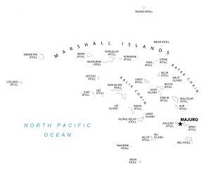
A Marshall Islands map with atolls, islands, and water features – The Marshall Islands are a chain of volcanic islands in the Pacific Ocean.
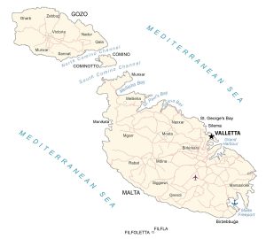
This map of Malta shows cities, towns, channels, islands, imagery, and elevation. Malta is an island country located in the Mediterranean Sea.
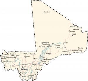
This map of Mali shows cities, towns, lakes, rivers, imagery, and elevation. Mali is a landlocked country located in Western Africa.
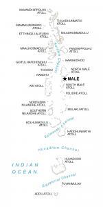
This map of Maldives shows populated places, islands, and water. The Maldives is located in the Indian Ocean southwest of India and Sri Lanka.

This map of Malaysia contains cities, towns, highways, water, and satellite imagery. Malaysia is a country located in southeastern Asia.
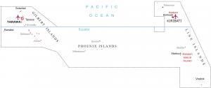
A map of Kiribati displays the islands and populated places – it includes 3 major geographic units of Gilbert, Line, and the Phoenix Islands.
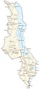
A map of Malawi with cities, lakes, rivers, roads, and imagery. Malawi is located in southeast Africa next to Zambia, Tanzania, and Mozambique.
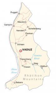
This map of Liechtenstein displays municipalities, villages, rivers, and imagery – a small European country between Switzerland and Austria.
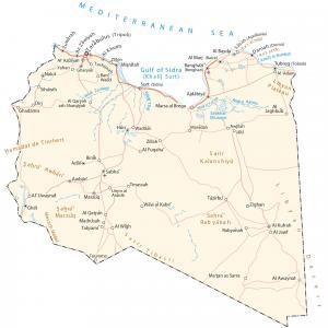
A map of Libya with cities, roads, water features, mountains, satellite imagery, and elevation. Libya is an African country in Northern Africa.
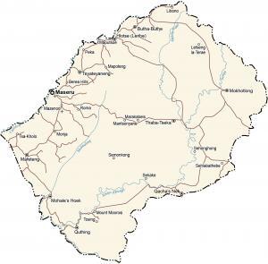
A Lesotho map with populated places, roads, water, mountains, imagery, and elevation. Lesotho is an African country within South Africa.