Bermuda Map and Satellite Imagery
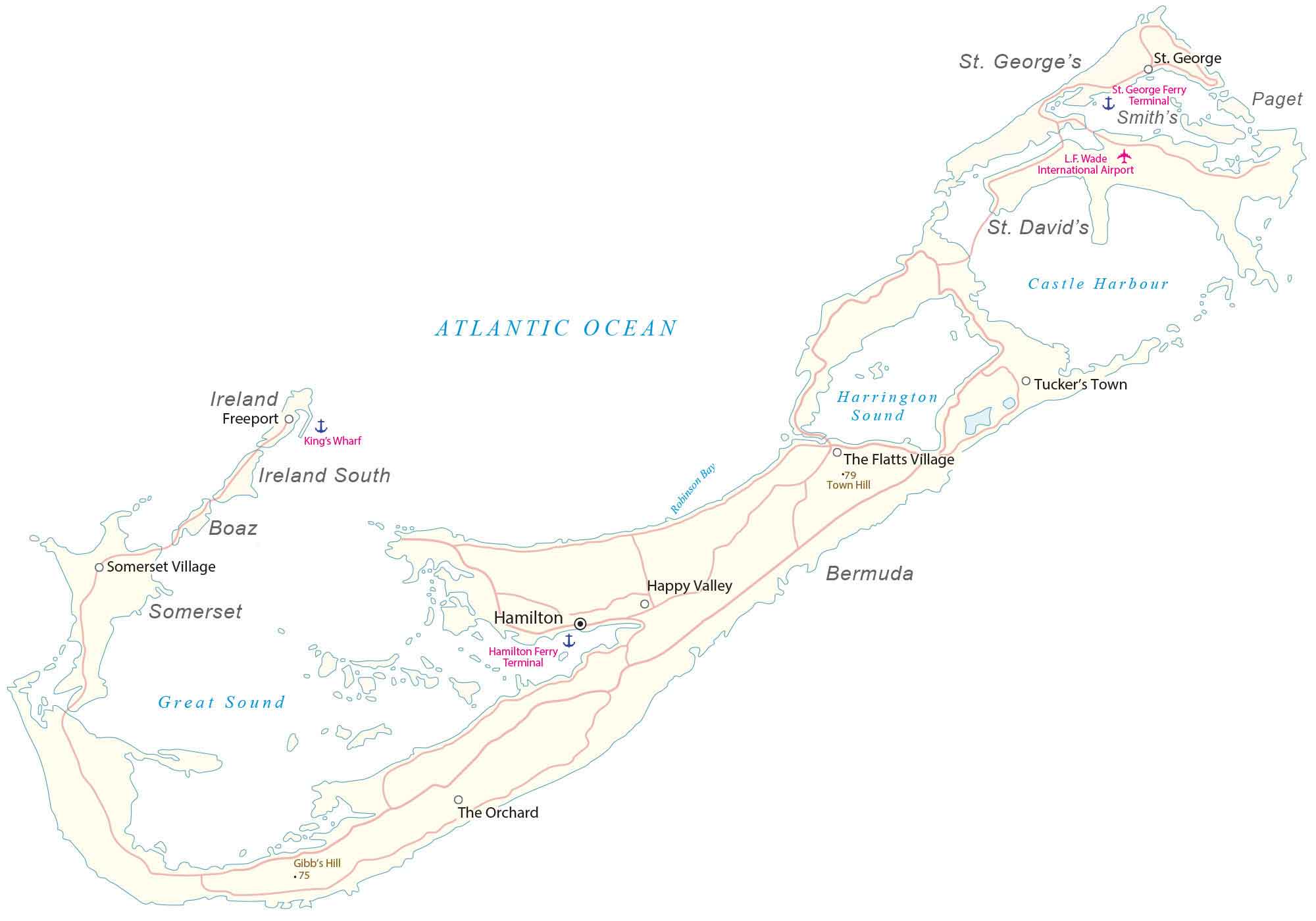
This map of Bermuda shows the country located in the Atlantic Ocean with satellite imagery. The reference map of Bermuda contains settlements, seaports, bays, islands, points, harbors, and its international airport.
Bermuda map collection
About the map
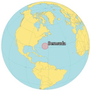
Bermuda is a British Overseas Territory in the Atlantic Ocean about 1,035 kilometers (643 mi) away from North Carolina in the United States. Although it has seven main islands, there are 181 islands in total, which are mostly uninhabited.
Overall, the population is over 65,000 people making it one of the most populous British territories. Hamilton is Bermuda’s capital and largest city. The island is known for its pink sandy beaches, coral reefs, and the historic town of St. George.
There is also a mythical history behind the Bermuda Triangle, which stems from several ships and aircraft that have disappeared under unknown circumstances. Even today, we are trying to unravel the mysteries of the Bermuda Triangle Myth with great sea dives and understand better why they never made it to land.
You are free to use our Bermuda map for educational and commercial uses. Attribution is required. How to attribute?
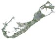
SATELLITE IMAGERY
Bermuda Satellite Map
Bermuda occupies a total area of 53.2 square kilometers (20.5 sq mi). In comparison, this is the same size as Saint Martin located in the Caribbean Sea. Bermuda is a group of long and extinct volcanoes east of the Sargasso Sea. Its coastline is estimated to be 103 kilometers (64 mi) in length.

The collection of islands lies between 32°15′ and 32°15′ so its climate is subtropical with mild winter temperatures. The territory is mostly low-lying without any major mountain chains. At 79 meters tall (260 ft), the tallest peak is Town Hill on Main Island. Other than its beaches, Bermuda’s most popular attractions are the Royal Naval Dockyard, the National Museum of Bermuda, Historic St. George, and the Crystal Caves.
Capital City
Hamilton
Populated places
Freeport
Somerset Village
King’s Wharf
Happy Valley
The Orchard
The Flatts Village
St. George
Smith’s Parish
Tucker’s Town
Islands and parishes
Ireland Island
Boaz
Somerset
Ireland South
Bermuda
St. George’s Island
St. David’s
Paget
Sounds and hydrography
Great Sound
Atlantic Ocean
Robinson Bay
Harrington Sound
Castle Harbour
Other features
Gibb’s Hill (High Point)
Hamilton Ferry Terminal
Town Hill (High Point)
St. George Ferry Terminal
L.F. Wade International Airport
Caribbean


