Bhutan Map – Cities and Roads
A Bhutan map with cities, roads and hydrgraphy – Bhutan is located in Southern Asia on the Himalayas’ eastern edge, between China and India.
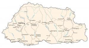
A Bhutan map with cities, roads and hydrgraphy – Bhutan is located in Southern Asia on the Himalayas’ eastern edge, between China and India.
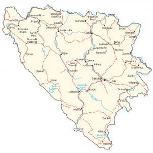
A Bosnia and Herzegovina Map with cities, roads and hydrography – B&H is located in southeast Europe and borders the Adriatic Sea and Croatia.
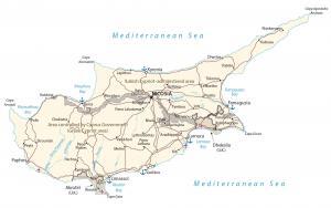
A Cyprus map showing major cities, roads and water – Cyprus is an island in the Middle East. It’s located in the Mediterranean Sea near Turkey
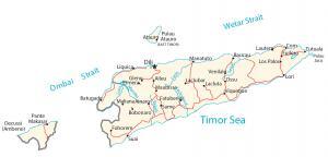
An East Timor map containing cities, roads and waterways – East Timor is in southeastern Asia in the eastern end of the Indonesian archipelago
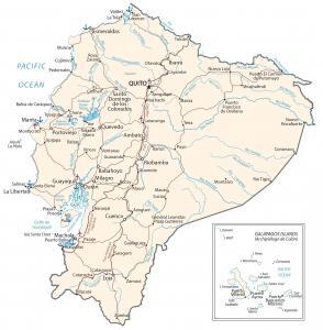
An Ecuador map containing major cities, transportation and hydrography – Ecuador is in western South America, along the Pacific Ocean.
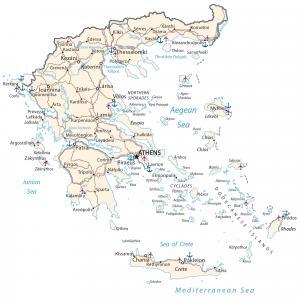
A Greece map with major cities, roads/highways and water features – Greece is in southern Europe, Ionian/Mediterranean Sea, Albania and Turkey
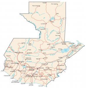
A Guatemala map highlighting cities, roads and water – Guatemala is located in Central America, bordering between El Salvador and Mexico.
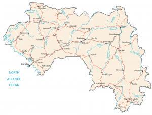
A Guinea map containing major cities, roads and hydrography – Guinea is situated in Western Africa between Guinea-Bissau and Sierra Leone.
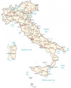
A map of Italy containing major cities, transportation and water features – Italy is located in southern Europe next to the Mediterranean Sea.
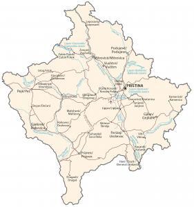
A Kosovo map highlighting major cities, transportation and hydrography – Kosovo is in southeastern Europe, between Serbia and Macedonia.